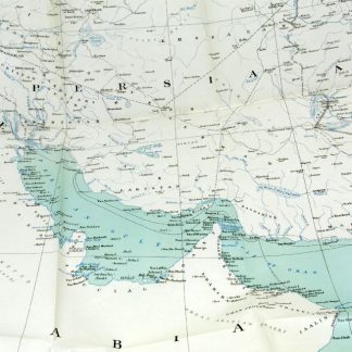
Persian Gulf and adjacent countries.
London, War Office, Topographical Section, 1908.
Coloured map (72 x 57 cm). Scale 1:4,055,040.
€ 1.500,00
Map of the Arabian Gulf. “It must have been drawn to show the zones of influence of Russia and Great Britain in Persia, as defined by the Anglo-Russian convention on 31st of august 1907” (Alai).
Literatur
Alai, General maps E.354. OCLC 221059917. Not in Al Ankary; Al-Qasimi.
Ähnlich
-
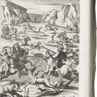
Reiss-Beschreibung in unterschiedliche Theile der Welt, nemlich in Türcken, …Geneva, 1674.
€ 15.000,00 -
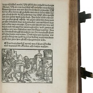
Die Ritterlich und lobwürdig reiß [...] Sagend von den landen, Egypto, …Straßburg, 1516.
€ 450.000,00 -
The Journal of the Royal Geographical Society.London, 1831-1880-1881.
€ 185.000,00 -

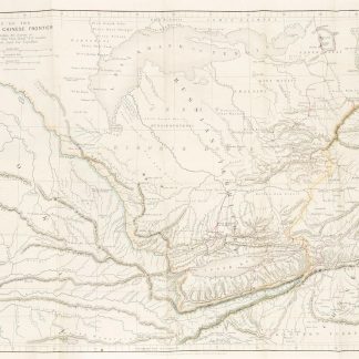
Persian Gulf. ONC-H-6/7. Operational navigation chart.St. Louis, 1967.
€ 1.500,00