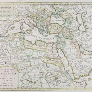
Nieuwe Kaart van het Turksche Ryk gelegen in Europa, Asia en Africa.
Amsterdam, ca. 1750.
Hand-coloured engraved map (350 x 285 mm).
€ 1.250,00
"The Arabian Peninsula appears a smaller version of Tirion's 1731 map with fewer details and no information on roads" (Al Ankary). Two monument-style cartouches contain title and three distance scales.
Very well preserved.
Literatur
Tibbetts 253. Al Ankary p. 340. Al-Qasimi 164. McMinn 48.
Ähnlich
-
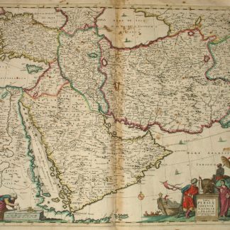
Nova Persiae Armeniae Antoliae et Arabiae.Amsterdam, 1690.
€ 2.300,00 -

Voyage en Arabie & en d'autres Pays circonvoisins. Tome premier (-second). …Amsterdam & Utrecht, 1775-1780.
€ 6.000,00 -
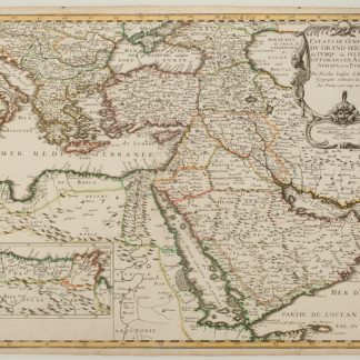
Estats de L'Empire du Grand Seigneur des Turqs ou Sultan des Ottomans en …Paris, 1654.
€ 2.500,00 -
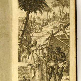
Vierzig-Jährige Reise-Beschreibung. Worinnen dessen durch Türkey, Persien, …Nürnberg, 1681.
€ 8.500,00