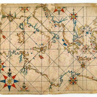
Manuscript map of the Mediterranean
Portolan chart of the Mediterranean.
192 x 390 mm. Folding manuscript chart in ink and blue, red, brown, and greenish colours on vellum, embellishments and some islands heightened in gold. Framed (61:41 cm).
€ 35.000,00
A finely drawn, small-scale portolan chart measuring only 39 centimetres across, showing the Mediterranean Sea with the northern coast of Africa, but also the coast of Portugal. The deeply cleft coastlines are typical of portolan charts; windrose lines emanate from 12 compass roses; there are two distance bar scales in the upper right and lower left corners. Uncommonly, no toponymic information has been added to the littoral. Decoration is sparse, though a trimount with crosses at the lower right indicates the location of the Holy Land. For a similar example cf. a chart attributed to Giovanni Battista Cavallini or his workshop in the Library of Congress, dating from ca. 1678 (LC Nautical charts on vellum, 20).
Traces of three vertical folds with repairs to occasional damage near top and lower edges; a larger vellum flaw on the right edge, measuring ca. 3 x 3 cm, has likewise been re-backed with paper (without loss to image). A decorative example.
Ähnlich
-
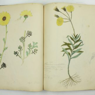
Botanisches Manuskript auf Papier.Österreich, 2. Hälfte 19. Jh.
€ 8.500,00 -
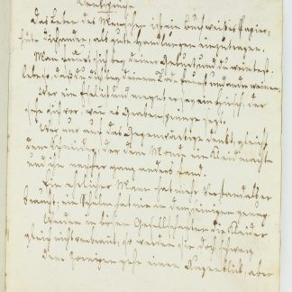
Anecdoten, Auszüge.Northern Germany, ca. 1770-1867.
€ 2.800,00 -
Log of H.M.S. Cumberland [commanded by] Captain J. B. Dickson bearing the …In the Atlantic, along the European, African and especially the South American coasts, 1857-1860.
€ 22.000,00 -
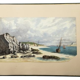
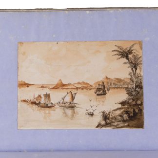
[Watercolour views of sea-coasts in New Caledonia and Peru].New Caledonia & Peru, 1855/60?.
€ 18.000,00