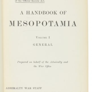
A Handbook of Mesopotamia.
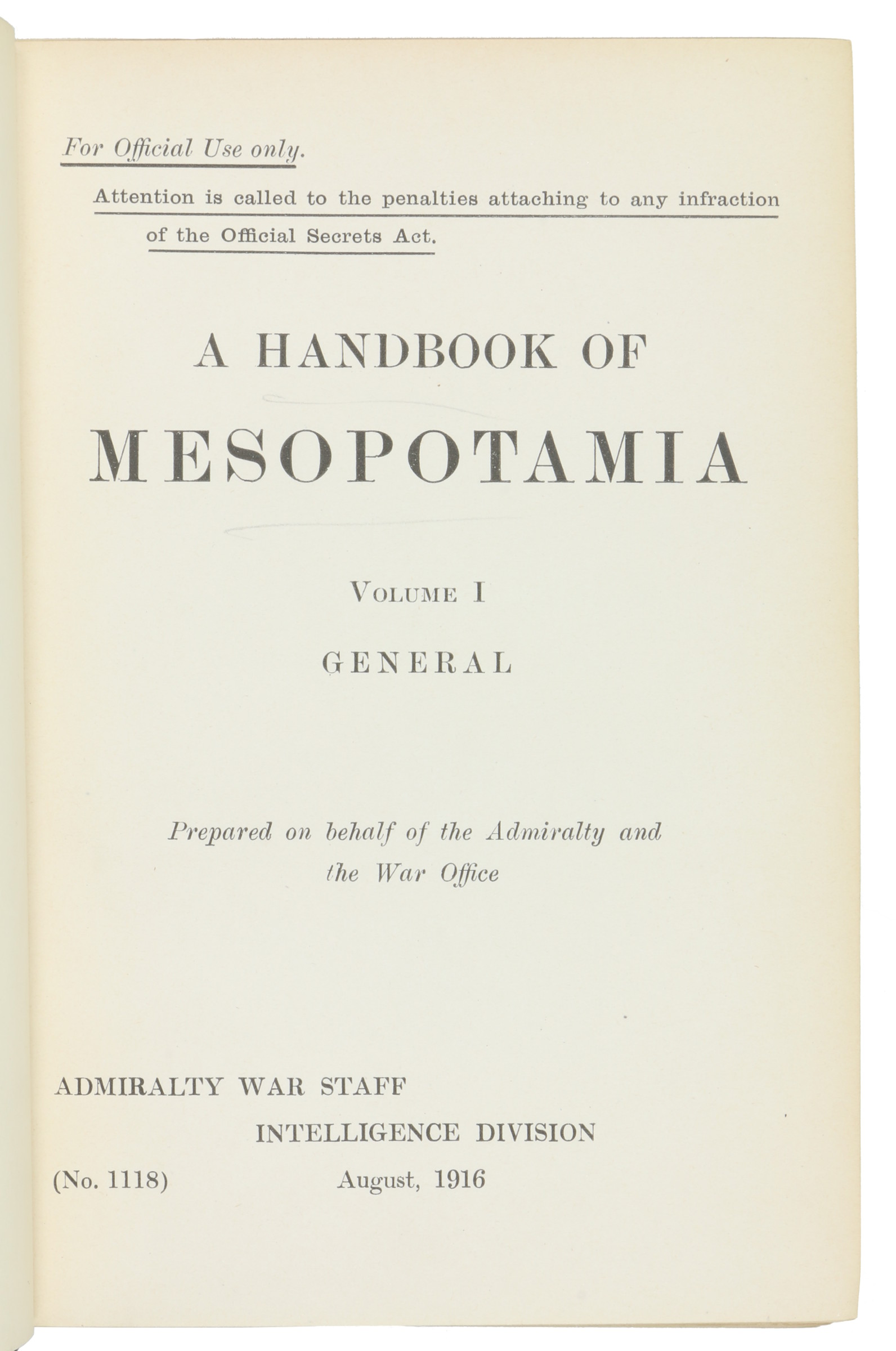
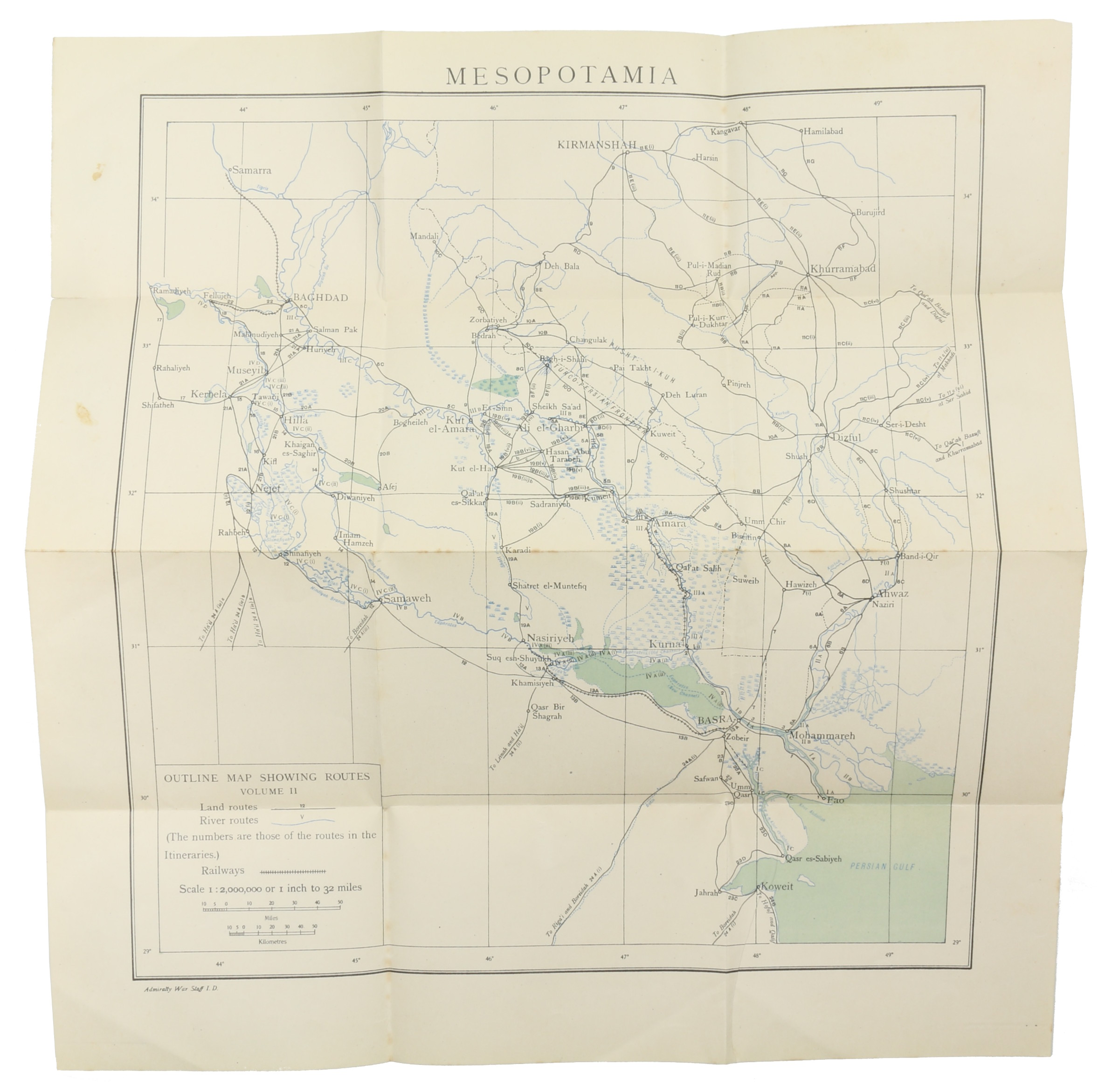
8vo. 4 vols. (instead of 6). Vol. I: General. 360 pp., 3 colour folding maps at rear, tables.
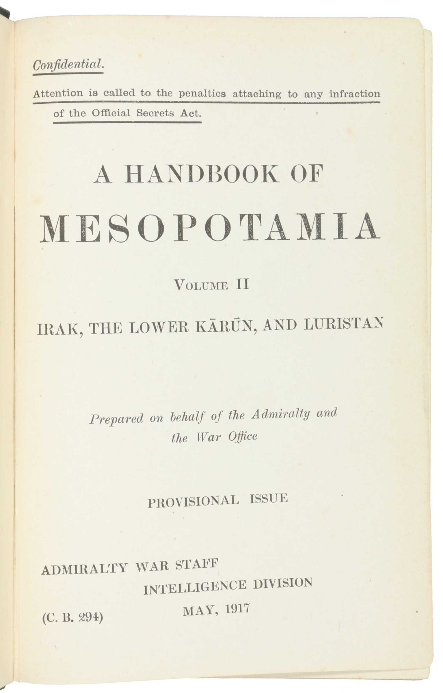
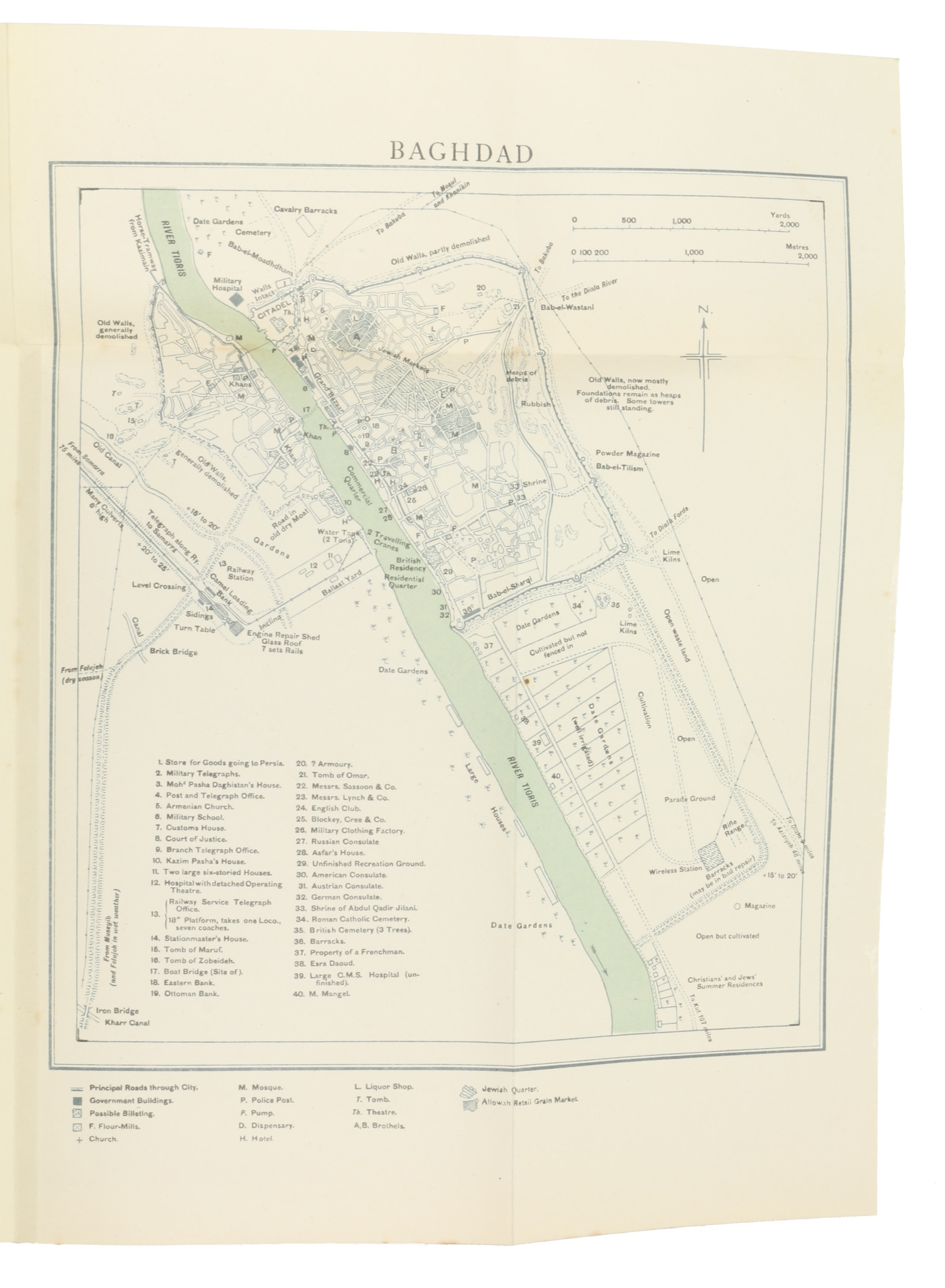
Vol. II: Irak, The Lower Karun, and Luristan. 512 pp., 1 large folding plan and 1 folding map at rear pocket, 8 b/w photographic plates (spine slightly damaged, hinges weak, lacking title page).
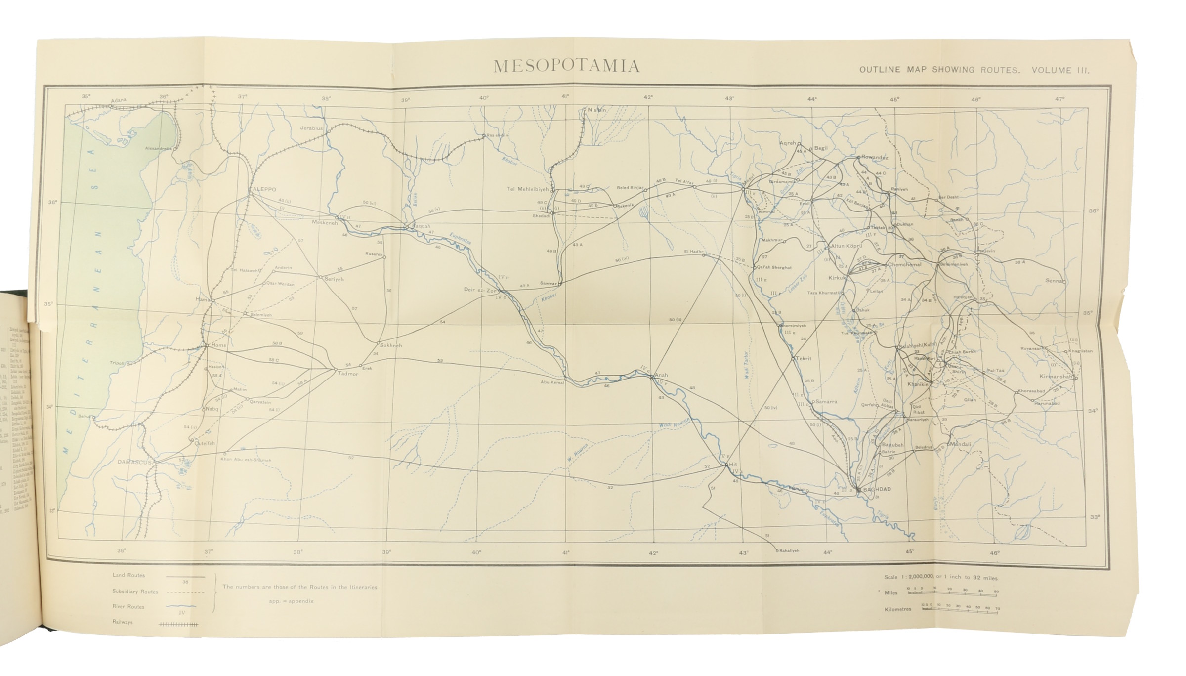
Vol. III: General Mesopotamia with Southern Kurdistan and the Syrian Desert. 416 pp., 1 large folding map at rear (modern cloth, new endpapers, glossary, appendix, index).
Vol. IV: Corrections and additions to Volume IV. Northern Mesopotamia and Central Kurdistan. 166 pp. (library bookplate verso front cover, small stamp on title page). Vol. III in modern library cloth, the rest in original cloth.
€ 4.500,00
Prepared on behalf of the Admiralty and the War Office for official use only, this Handbook gives an account of conditions in Mesopotamia (Iraq) for the most part as they were before the First World War. These volumes cover the boundaries and physical features of Iraq, its minerals, climate, fauna, administration, transport, irrigation, religion and agriculture. The Naval Intelligence Division (NID) was the intelligence arm of the British Admiralty before the establishment of a unified Defence Intelligence Staff in 1965. It dealt with matters concerning British naval plans and the collection of naval intelligence.

