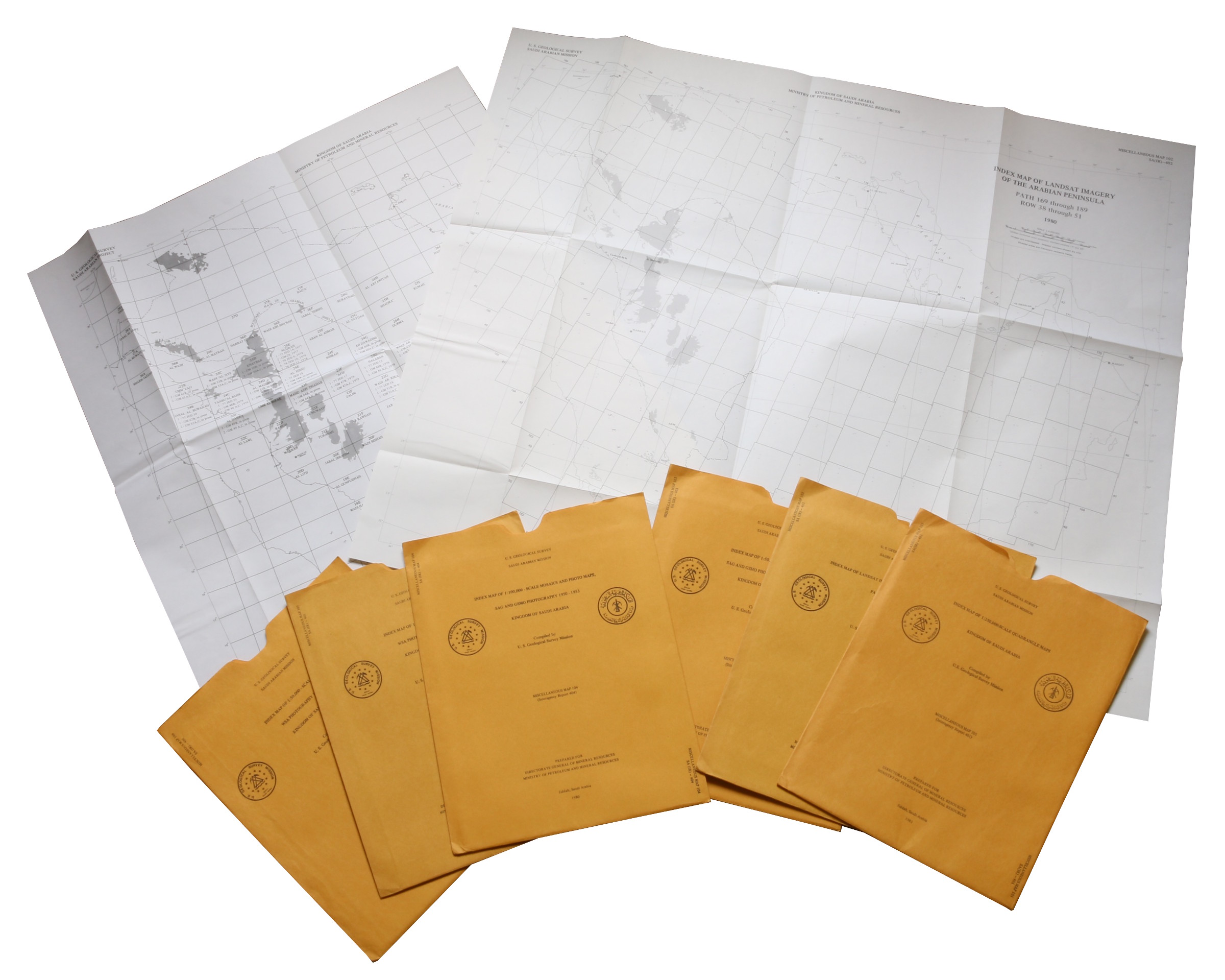
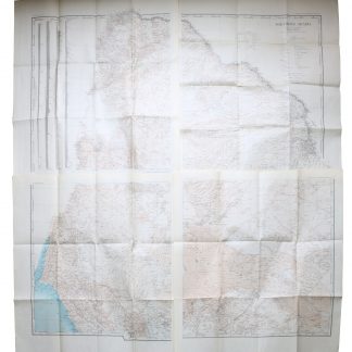
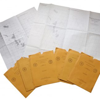
Saudi Arabia Index Maps (1:4,000,000). 6 maps.
6 maps, 70 x 61 cm to ca. 75 x 65 cm. Printed in black and white. Constant ratio linear horizontal scale 1:4,000,000 scale. All in their original printed orange envelopes.
€ 2.500,00
Of the eight index maps produced during 1980-81, six are included here (wanting 100 [IR 400] and 107 [IR 407]). They feature the Arabian Peninsula, with labels for Mecca, Medina, Jeddah, Riyadh, Dammam, Sharjah, Masqat, Kuwayt etc. Comprises individually:
101 (IR 401): Index Map of 1:250,000 scale quadrangle maps; 102 (IR 402): Index map of Landsat imagery of the Arabian Peninsula: Path 169 through 189, Row 38 through 51; 103 (IR 403): Index map of 1:50,000 scale mosaics, SAG and GSMO photography 1950-53; 104 (IR 404): Index map of 1:100,000 scale mosaics and photo maps, SAG and GSMO photography 1950-53; 105 (IR 405): Index map of 1:100,000 scale mosaics, WSA photography 1955-57; 106 (IR 406): Index map of 1:50,000 scale mosaics, WSA photography 1955-57.
In excellent condition throughout.
G. J. Vranas, List of Interagency Reports submitted by the US Geological Survey Saudi Arabian Mission to the Saudi Arabian Directorate General of Mineral Resources from 1965 to the beginning of 1992 (Open File Report USGS-OF-92-2. Interagency Report 844 (Jiddah: Ministry of Petroleum and Mineral Resources Directorate General of Mineral Resources, 1412 AH/1992 AD), pp. 71, 35f.

