
[VERKAUFT]
Dieses Stück ist bereits verkauft. Am Ankauf eines gleichwertigen Exemplars bzw. von Stücken ähnlicher Bedeutung sind wir immer interessiert.
Lithographed moon charts
Lunar Astronautical Charts.
44 lithographed sheets, each measuring 560 x 735 mm. Scale: 1:1,000,000. Each in a preservation sleeve. In a drop-back buckram box decorated with a silver leather moon on the upper board.
Extremely rare complete set of the celebrated lunar maps produced during the heyday of the space race as part of the Apollo project. Inspired by the success of the 1960 "Lunar Photographic Atlas" by the astronomer Gerard Peter Kuiper, the U.S. Air Force set out to produce detailed charts, racing to collect the scientific data needed in order to put a man on the moon. With the exception of Wilhelm Gotthelf Lohrmann and perhaps Tobias Mayer, this was the first time that professional cartographers were called in to deal with the problem of mapping the lunar surface. Installing themselves at Lowell Observatory in Arizona, they combined earth-based telescope observations with existing photographs, sources including the University of Manchester station sponsored by the ACIC at Pic du Midi, the Stony Ridge Observatory in California, the Kwasan Observatory in Kyoto, and their own motion picture films taken at Lowell, in order to create lucid maps, concluding that lunar features could be artistically drawn and airbrushed with India ink on translucent plastic sheets, following the style of lead illustrator Patricia Bridges. With the workload constantly increasing, the workforce grew to a maximum of 18 persons in 1966. The moon was divided into 68 quadrants (although the numbers run from 1 to 144, including the far side), each chart consisting of a topographic map recto and a relief rendition verso.
The LAC series remained the most detailed lunar maps at NASA until the photographs taken on orbital missions. Superseded by the results of the later Apollo flights, these historic maps were discarded and many sets destroyed. An incomplete set of 21 charts is currently offered for sale by "Milestones of Scientific Books", Ritterhude, Germany.
Very few sheets show tiny marginal tears, but none affect the images. A milestone of scientific mapmaking and a rare survival.
Carder, Lunar Charting on a Scale of 1:1,000,000, 117-129. Carder/Scott, Lunar Charting for Project Apollo, 49-58. Batson, Planetary Mapping with the Airbrush, 109-112. St. Clair/Carder/Schimerman, United States Lunar Mapping, 127-148. Ashworth, The Face of the Moon. Kopal/Carder, Mapping of the Moon. Weir, Our Heritage: Lunar Cartography Informed Early Space Program.
Ähnlich
-
Track of His Majesty's Armed Brig Lion, from England to Davis's Streights …London, 1778.
€ 150,00 -
Nuovo compendio di scienze, accresciuto e migliorato da un sacerdote Luganese. …Lugano, 1845.
€ 350,00 -
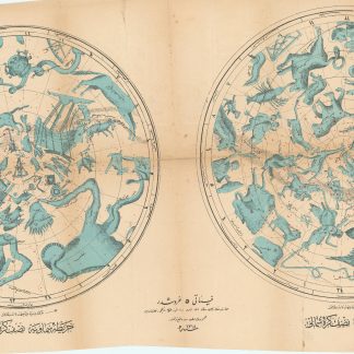
Harita-i Semaviyye Nisf-i Kürre-i Cenubi / Simali. [Karte des Himmels …Istanbul, 1318 1900.
€ 800,00 -
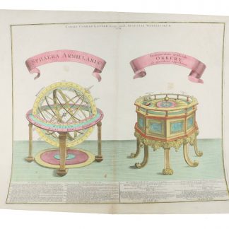
Sphaera armillaris. Instrumentum artificiale Orrery ab inventore appellatum.Augsburg, 1774.
€ 850,00