
Perim Island (or Meyún) and Bab-el-Mandeb Small Strait. No. 2592.
Standard issue, 687 x 860 mm. Scale 1:17,980.
€ 1.000,00
Nautical chart of the southernmost part of the Red Sea with Perim Island, prepared by the British Admiralty. With a view of the Strait of Bab-el-Mandeb near lower margin.
Perim Island, as a dependency of Aden, was part of the British Empire between 1857 and 1967. The island encloses a deep and comparatively large natural harbour on the southwestern coast. The chart labels the pilot's house, piers, coal stacks, the hospital, and the Lloyd's signal station. Other prominent places on the island include the fishing village of Meyun, Murray Point, William Bay, the old fort, and a parade ground. The chart includes the Arabian coast of the Bab-el-Mandeb strait, detailing Sheikh Malu or Oyster Island, Ras Sheikh Syed, and Jebel Manhali.
The British Admiralty has produced nautical charts since 1795 under the auspices of the United Kingdom Hydrographic Office (HO). Its main task was to provide the Royal Navy with navigational products and service, but since 1821 it has also sold charts to the public. The present chart was composed after Admiralty surveys between 1874 and 1918; it was first published in 1874 and saw several corrections up to 1924.
With a single fold. Some manuscript corrections and a note in pencil: "Caution / The 2 Red Lights on Lloyd's Signal Station are now discontinued". With a stamp "Increase 50%" near lower right corner. Captioned in print and in a former collector's hand on verso. A large tear in the centrefold.
Ähnlich
-
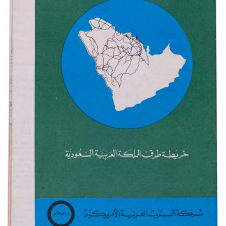
Saudi Arabian Road Map.Dammam, 1973.
€ 1.500,00 -
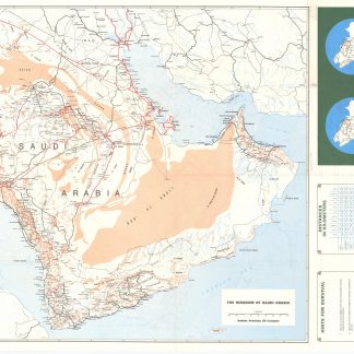
Saudi Arabian Road map.Dammam, early 1980s.
€ 1.000,00 -
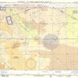
USAF aeronautical chart and information service. World aeronautical chart …Washington, DC, 1958.
€ 950,00 -
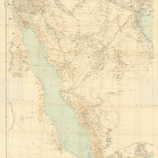
Arabia and the Persian Gulf. N.W. Section, S.W. Section. [Map of Arabia …Dehra Dun, 1916.
€ 8.500,00