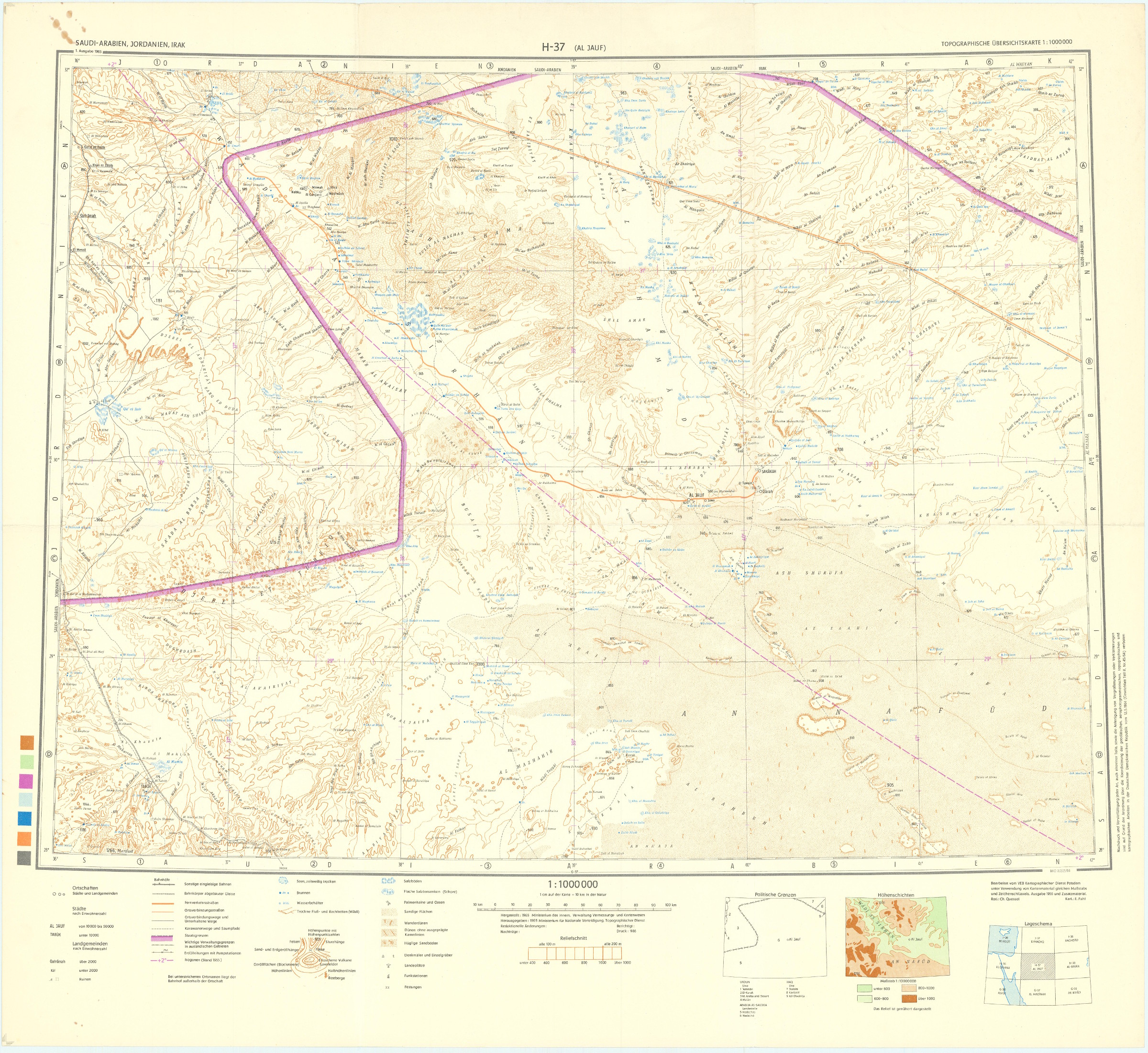
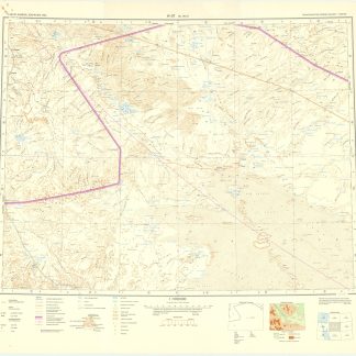
Al Jauf H-37.
Potsdam, Ministerium für nationale Verteidigung, 1965/1966.
645 x 590 mm. Scale 1:1,000,000.
€ 600,00
Topographical map covering the northern part of Saudi Arabia around the town of Jawf (Jauf) and Wadi Sirhan. It shows international boundary, populated places, roads and tracks, railways, wireless telegraph stations, forts, wadis, wells, vegetation and terrain features. Shows also parts of Transjordan and Iraq. Relief shown by hachures, spot heights and gradient tints.
A few brown spots near upper left corner. Very well preserved.

