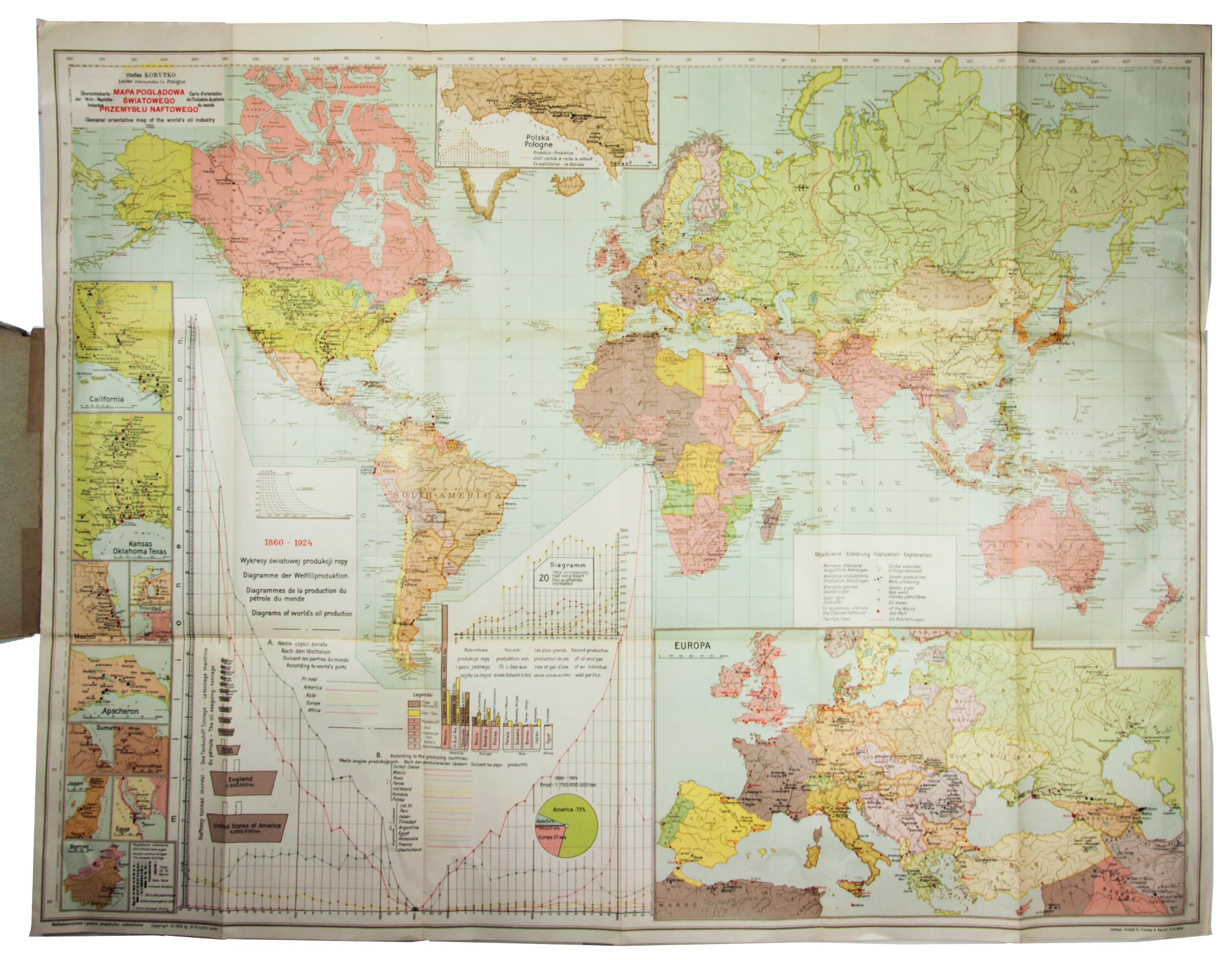
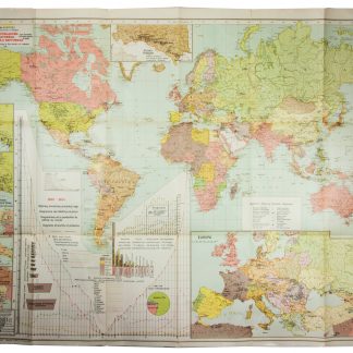
Large map depicting the world's oil industry
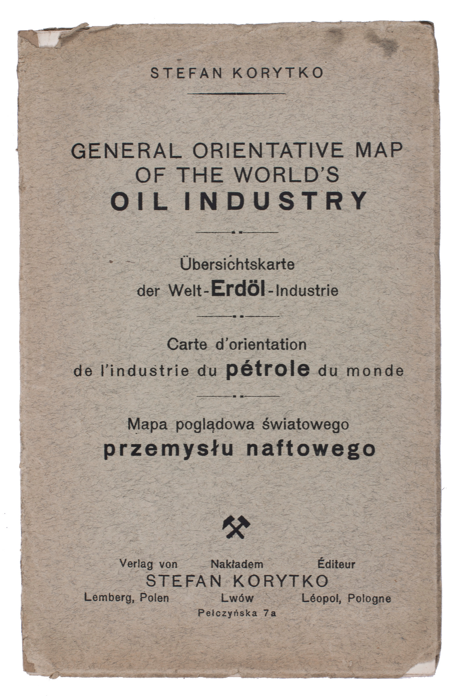
General orientative map of the world's oil industry / Übersichtskarte der Welt-Naphtha-Industrie / Carte d'orientation de l'industrie de pétrole du monde / Mapa pogladowa swiatowego przemyslu naftowego.
Lviv, Stefan Korytko, 1925.
Large folding chromolithographed map (map size 65.5 × 88 cm). Original publisher's printed paper wrappers.
€ 6,500.00
Large folding map of the world, completely in colour, showing the areas containing oil and where oil/gas wells are located. Inserted around the margins of the map are several more detailed inset maps of Europe, Poland, California, Kansas, Oklahoma, Texas, Mexico, Venezuela, Trinidad, Apsheron (Azerbeidzjan), Sumatra, Japan, Egypt and Borneo. Also included is a large diagram illustrating the world's oil production, from 1860 to 1924.
Only very slightly worn along a few folds. Paper wrappers slightly damaged, otherwise in very good condition.

