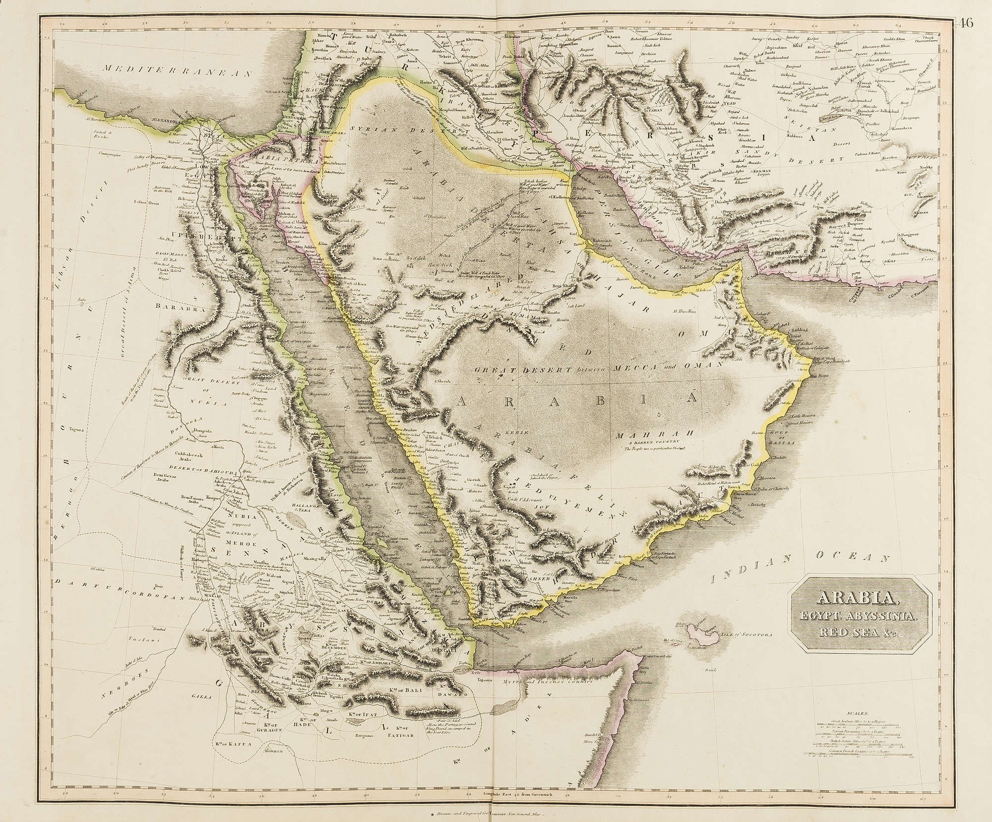
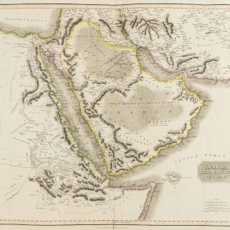
Arabia, Egypt, Abyssinia, Red Sea &c.
[Edinburgh, John Thomson & Co., ca. 1823].
Engraved map in hand-drawn outline colour. 720 x 533 mm. Constant ratio linear horizontal scale 1:7,000,000. Relief shown by hachures and shading. Greenwich meridian.
€ 2,500.00
A fine engraved map of the Arabian Peninsula, also showing the Arabian Gulf, the Red Sea, and the Horn of Africa. Shows boundaries, rivers, deserts, caravan routes and principal settlements. With early outline hand-colouring on wove paper with watermark date of "1823". Also issued as plate 46 in Thomson's "A New General Atlas" (1821-29).
Well preserved.
References
Cf. Al-Qasimi (2nd ed.) pp. 255 & 258. Tooley's IV, 271. OCLC 43216571.

