Maps and Plans
Showing items 241–288 of 539 (Maps and Plans)
-
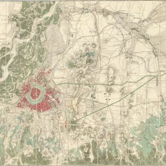
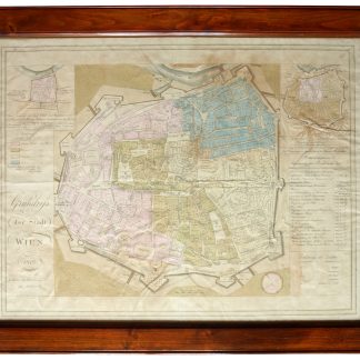
Neuester Grundriss der Haupt und Residenzstadt Wien und der Umliegenden …Wien, 1803.
€ 1,800.00 -
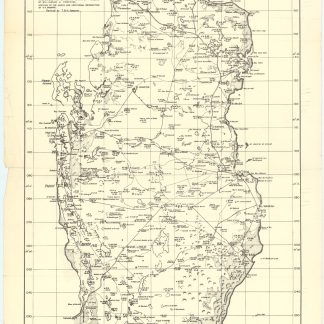
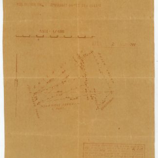
Qatar. Q/OO. O648.Qatar, 1952.
€ 750.00 -
[Terra Sancta]. Peregrinatio Abrahae. Itinera et mansiones deserti.Amsterdam, 1658.
€ 12,500.00 -
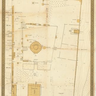
El Haram Esh Sharif.Tel Aviv, 1944.
€ 5,000.00 -
Architectural survey of Kafr' Aqab.Jerusalem, 8 Aug 1935.
€ 450.00 -
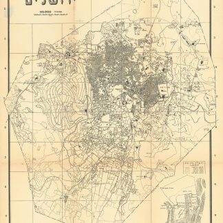
Mapat Yerushalayim [Map of Jerusalem].Jerusalem, 708 1947 or 1948.
€ 450.00 -
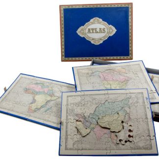
Atlas.Paris, ca. 1879.
€ 4,000.00 -
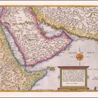
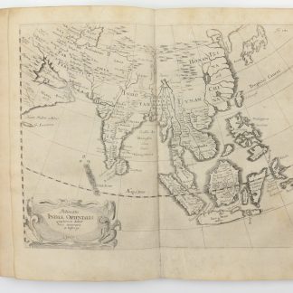
Secundae Partis Asiae [...].Antwerp, 1593.
€ 15,000.00 -
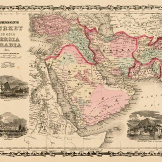
Johnson's Turkey in Asia, Persia, Arabia, &c.New York, 1861.
€ 500.00 -
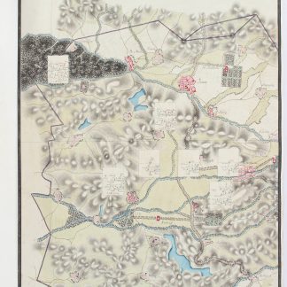
Instructional topographic manuscript by an Austrian engineering and survey …Probably Habsburg Empire, ca. 1760s.
€ 9,500.00 -
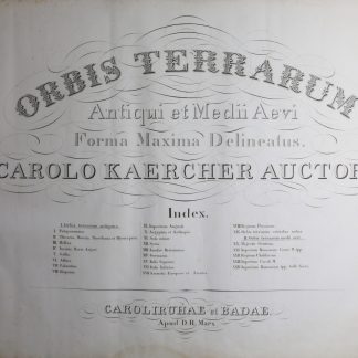
Orbis terrarum antiqui et medii aevii forma maxima delineatus.Karlsruhe, 1827.
€ 2,500.00 -
La Mer Rouge, l'Abyssinie et l'Arabie. Tome 2: Les guerres du poivre. Les …Cairo, 1935.
€ 1,500.00 -
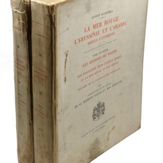
La Mer Rouge, l'Abyssinie et l'Arabie. Tome 2: Les guerres du poivre. Les …Cairo, 1935.
€ 850.00 -
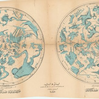
Harita-i Semaviyye Nisf-i Kürre-i Cenubi / Simali. [Karte des Himmels …Istanbul, 1318 1900.
€ 800.00 -
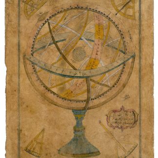
Zâtü'l-Kürsü. Autograph drawing signed.Probably Istanbul, ca. 1732.
€ 9,500.00 -
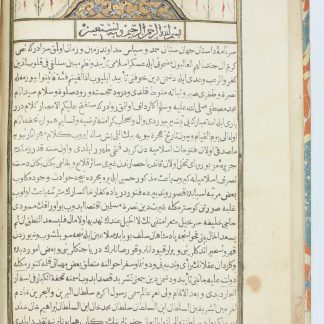
Tuhfet ül-kibar fi esfar il-bihar.Qustantaniyah Constantinople, Istanbul, 1729 CE = 1141 H.
€ 28,000.00 -
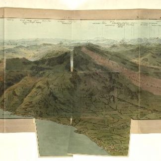
Panorama prise au Sommet du Mont Rigi.Zurich, 1816.
€ 2,500.00 -
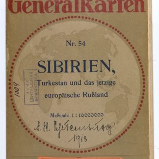
Sibirien, Turkestan und das jetzige Europäische Russland. Flemmings Generalkarte …Glogau & Berlin, 1918.
€ 950.00 -

Specialkarte vom westlichen Kleinasien.Berlin, 1890.
€ 12,500.00 -
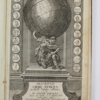
Descriptio orbis antiqui in XLIV tabulis exhibita.Nuremberg, ca. 1720.
€ 3,800.00 -
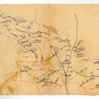
Kosova Vilâyet haritasi. Manuscript map of Kosovo Vilayet.Kosovo, late 19th century.
€ 750.00 -
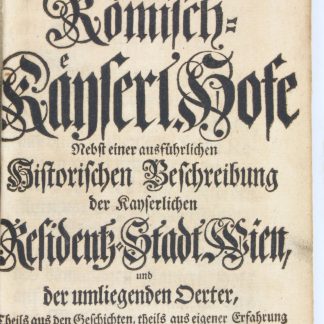
Allerneueste Nachricht vom Römisch-Käyserl. Hofe nebst einer ausführlichen …Hannover, 1730.
€ 1,250.00 -
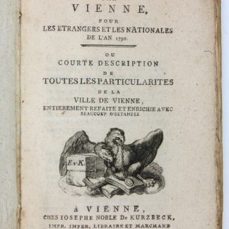
Nouveau guide par Vienne, pour les etrangers et les nationales de l'an …Wien, 1792.
€ 650.00 -
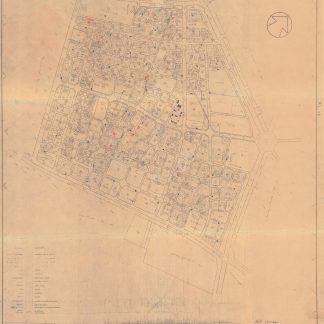
[City planning maps of Kuwait City and surroundings].Kuwait, 1965-1974.
€ 8,500.00 -
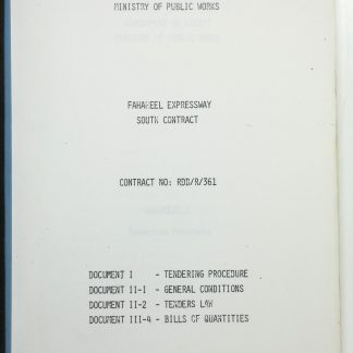
Government of Kuwait Ministry of Public Works. Fahaheel Expressway South …Safat, 1980.
€ 950.00 -
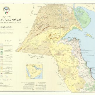
[Kharitah jiyulujiyah shamilah li-Dawlat al-Kuwayt]. Synoptic Geologic …Kuwait, 1966.
€ 2,800.00 -
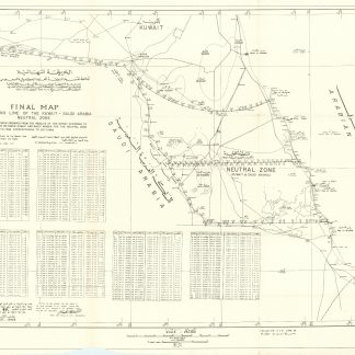
Final map of dividing line of the Kuwait - Saudi Arabia Neutral Zone.N. p., August 1968.
€ 3,500.00 -

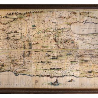
Deliniantur in hac tabula, Orae maritimae Abexiae, freti Mecani: al Maris …
€ 9,500.00 -
Atlas historiques, généalogique, chronologique et géographique de A. …Paris, 1824.
€ 500.00 -
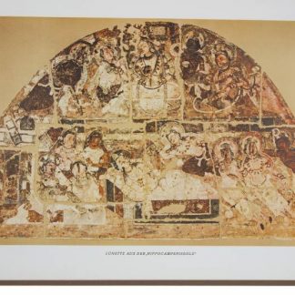
Die buddhistische Spätantike in Mittelasien. Ergebnisse der Kgl. Preussischen …Berlin, 1922-1933 facsimile: Graz, Akademische Druck- und Verlagsanstalt, 1973-1975.
€ 2,500.00 -
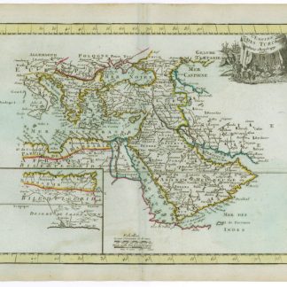
L'Empire des Turcs.Paris, 1767.
€ 450.00 -
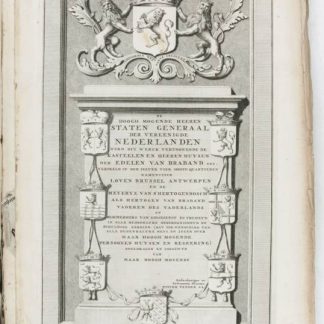
Castella & praetoria nobilium Brabantiae, coenobiaque celebriora, ad …Leiden, 1699.
€ 9,500.00 -
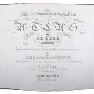
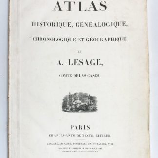
Historisch-Genealogisch-Geographischer Atlas von Le Sage.Karlsruhe, 1825-1838.
€ 8,500.00 -
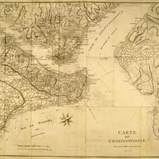
Voyage de la Propontide et du Pont-Euxin.Paris, 1800-1802.
€ 3,500.00 -
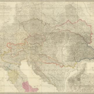
Allgemeine Charte des Kaiserthums Oesterreich, nebst einem grossen Theile …Wien, 1816.
€ 1,500.00 -
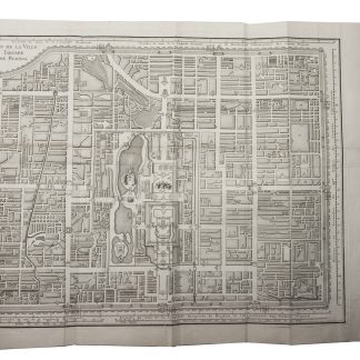
Description de la ville Peking, pour servir à l'intelligence du plan de …Paris, 1765.
€ 18,000.00 -
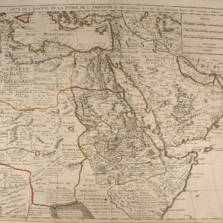
Carte de l'Egypte de la Nubie de l'Abissinie &c.Amsterdam, 1730.
€ 2,250.00 -

Carte de l'Egypte de la Nubie de l'Abissinie &c.Paris, 1745.
€ 800.00 -

Arabia with the adjacent Countries of Egypt & Nubia.Edinburgh, 1828.
€ 750.00 -
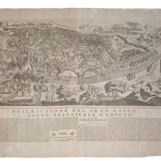
Gran Cairo.Bologna, 1670.
€ 20,000.00 -

Cercle de Baviere / Der Beyrische Kreyss.Paris, 1685.
€ 60.00 -
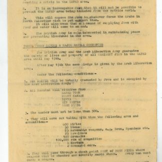
British military documents from Mandate Palestine.Mandate Palestine, 1948.
€ 2,500.00 -
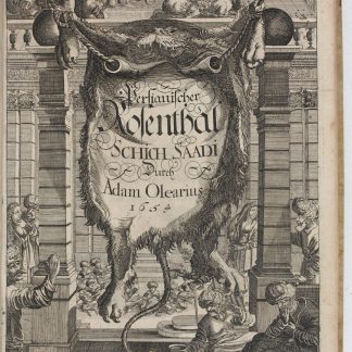
Morgenländische Reyse-Beschreibung.Hamburg & Schleswig, 1658.
€ 25,000.00 -
Morgenländische Reyse-Beschreibung.Hamburg, 1658.
€ 11,000.00 -
Grundriß der Stadt Wien 1812.Vienna, 1812.
€ 1,500.00 -
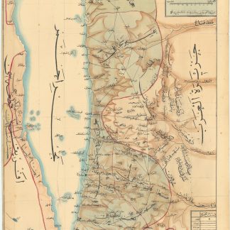
Hitta-i Yemaniyye ve civari haritasidir [Map of the country of Yemen and …Ottoman Empire, 2 April 1911 CE = 20 March 1327 Rumi.
€ 28,000.00 -
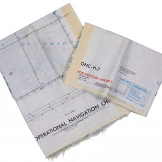
Persian Gulf. ONC-H-6/7. Operational navigation chart.St. Louis, 1969.
€ 2,800.00 -

Persian Gulf. ONC-H-6/7. Operational navigation chart.St. Louis, 1967.
€ 1,500.00
Showing items 241–288 of 539 (Maps and Plans)
Not what you were looking for? Browse 30,000 books and autographs by subject or try our advanced search.