
Erzerum. Operationskarte. Nur für den Dienstgebrauch.
[Berlin], Kartographische Abteilung der Kgl. Preußischen Landesaufnahme, 1917.
Colour-printed map. Ca. 65 x 52 cm. Scale 1:800,000.
€ 400,00
German military map of eastern Anatolia in the Ottoman Empire, produced by the Prussian Ordnance Survey near the end of the First World War and marked as "for operational use only".
Folded. Formerly in the collections of the Geographical Institute of the University of Berlin with 1940s stamp and shelfmark.
Literatur
OCLC 246429024.
Ähnlich
-
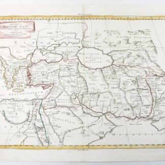
Imperium Alexandri Magni.Venice, 1785.
€ 850,00 -
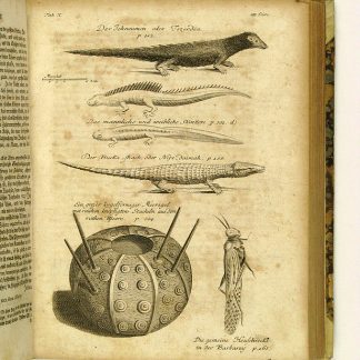
Reisen oder Anmerkungen verschiedene Theile der Barbarey und der Levante …Leipzig, 1765.
€ 2.000,00 -
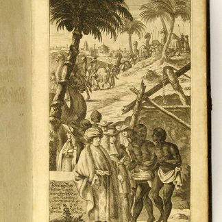
Vierzig-Jährige Reise-Beschreibung. Worinnen dessen durch Türkey, Persien, …Nürnberg, 1681.
€ 8.500,00 -
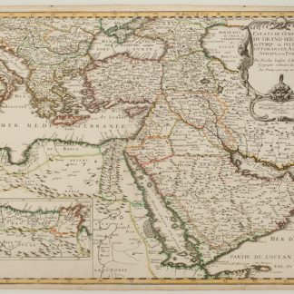
Estats de L'Empire du Grand Seigneur des Turqs ou Sultan des Ottomans en …Paris, 1654.
€ 2.500,00
