For use of the Naval Intelligence Division
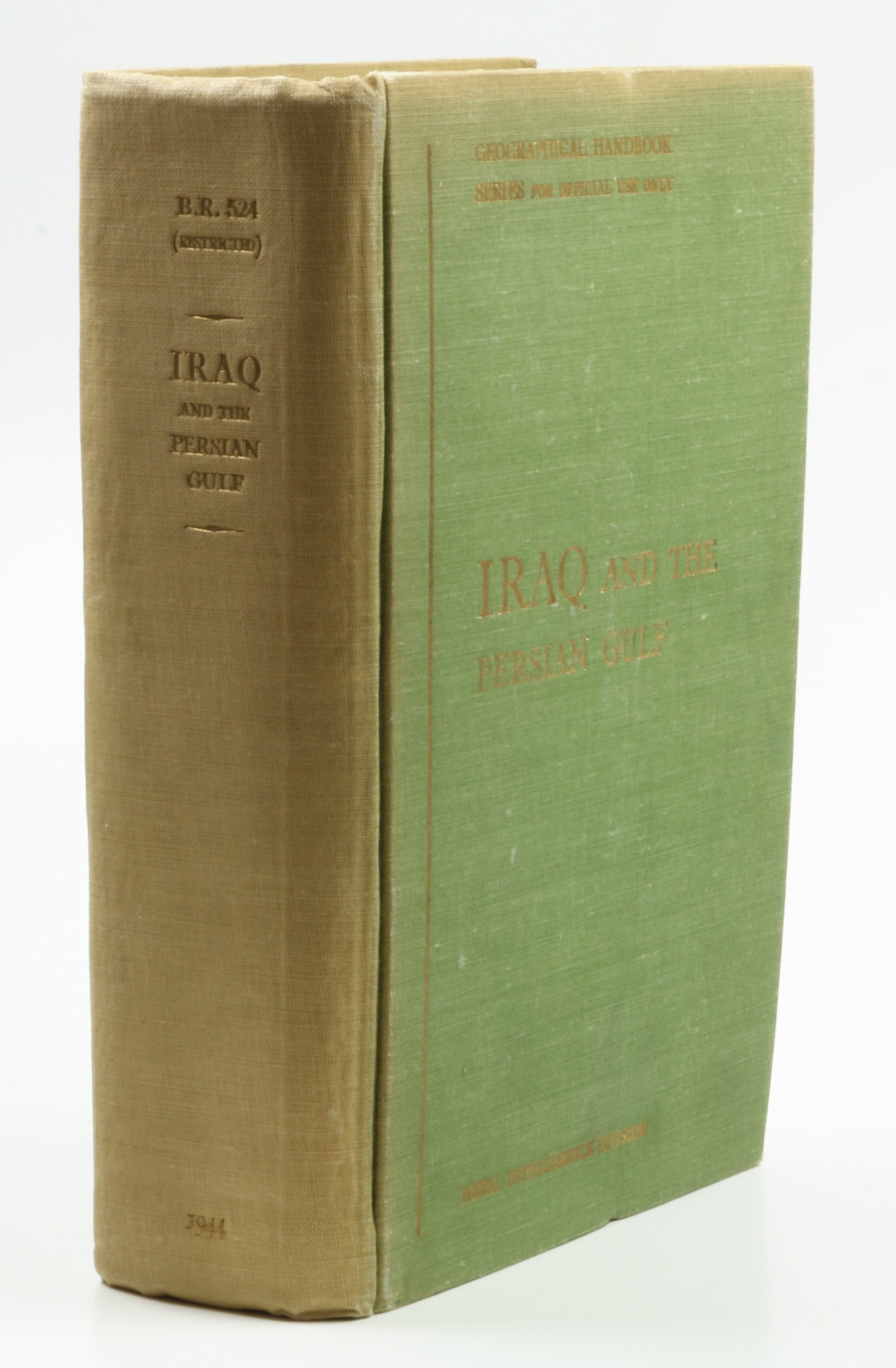
Iraq and the Persian Gulf.
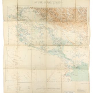
8vo. XVIII, 682 pp. With 236 photo illustrations, 97 maps and text-figures (some folding), and folded full-colour map of the Arabian Peninsula, Iraq, and Iran; map of "Communicationd of Iraq" in lower cover pouch. Original giltstamped green cloth.
€ 950,00
Geographical Handbooks Series (for official use only) B.R. 524 (Restricted). In-depth, profusely illustrated discussion of Iraq and the Arabian Gulf region, with a close description of what was then referred to as the "Trucial Coast" between Abu Dhabi and Qatar. Produced during WWII for use of the Naval Intelligence Division, "to provide, for the use of Commanding Officers, information in a comprehensive and convenient form about contries which they may be called upon to visit, not only in war but in peace-time". The book's contents are, "however, by no means confined to matters of purely naval interest. For many purposes (e.g. history, administration, resources, communications, etc.) countries must necessarily be treated as a whole, and no attempt is made to limit their treatment exclusively to coastal zones" (1942 preface).
Spine faded to yellow, interior sound. Ink ownership of M. H. Parry-Williams to front pastedown.
OCLC 220468550.


