An Israeli geographer describes battles of the 1948 Arab-Israeli War
Ha-Ma'arakhah le-shihrur Yisra'el.
8vo. 160 pp. Illustrated. Original pale blue wrappers titled in navy.
€ 600,00
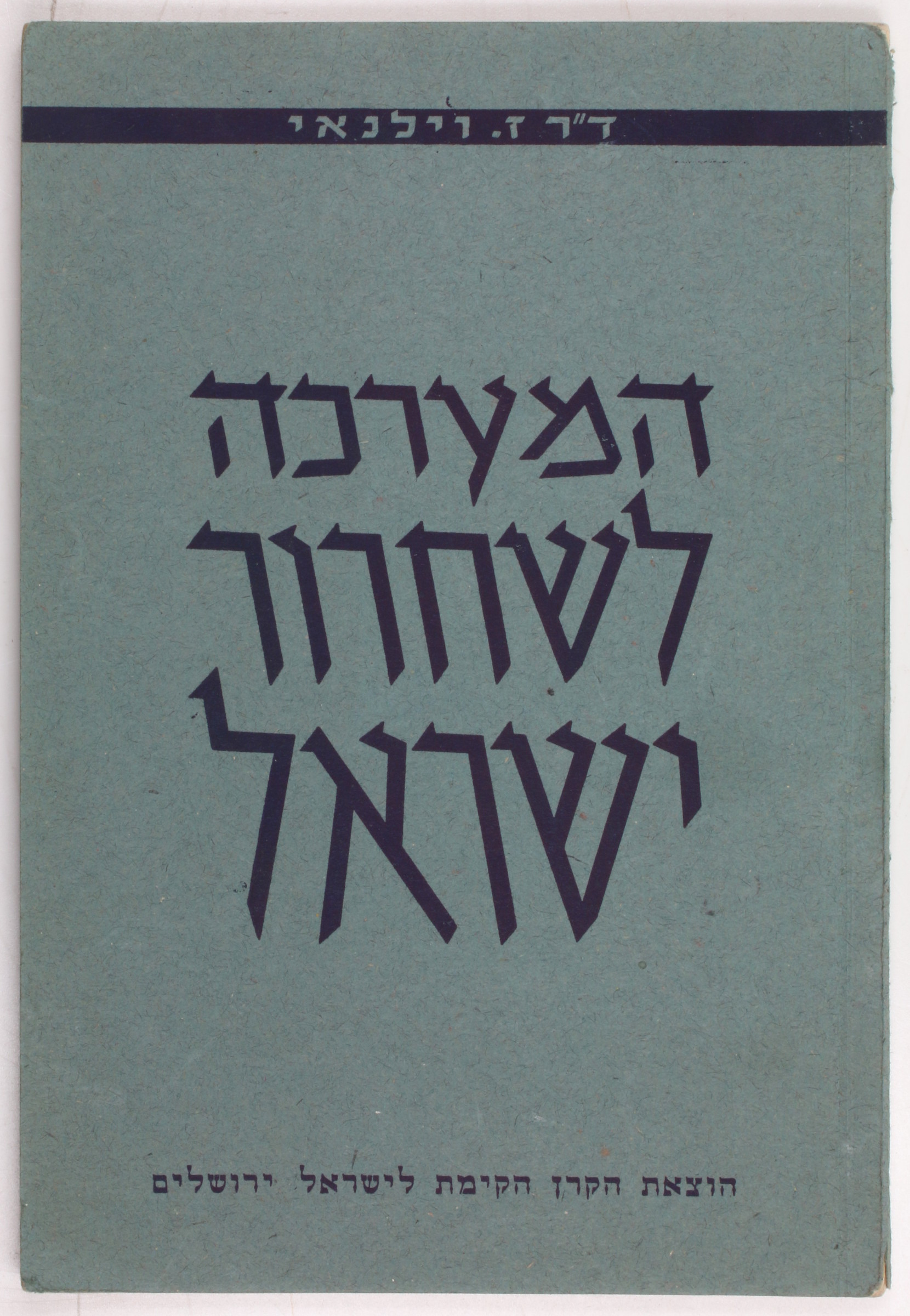
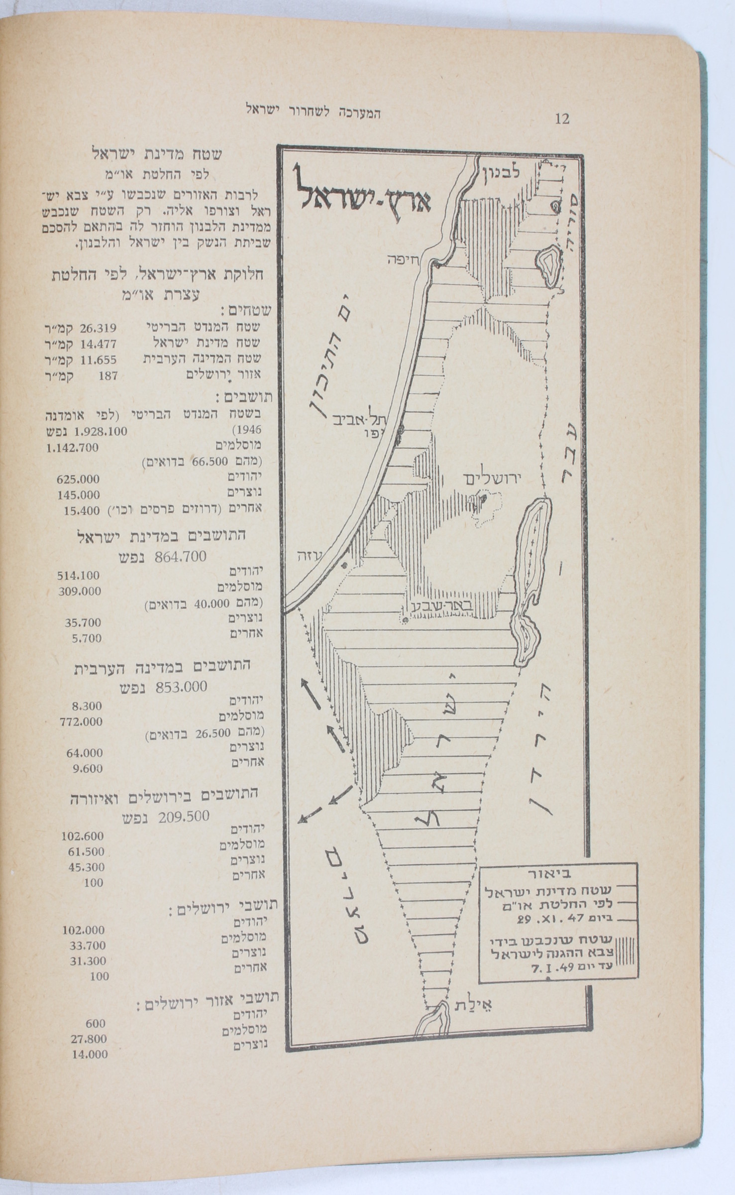
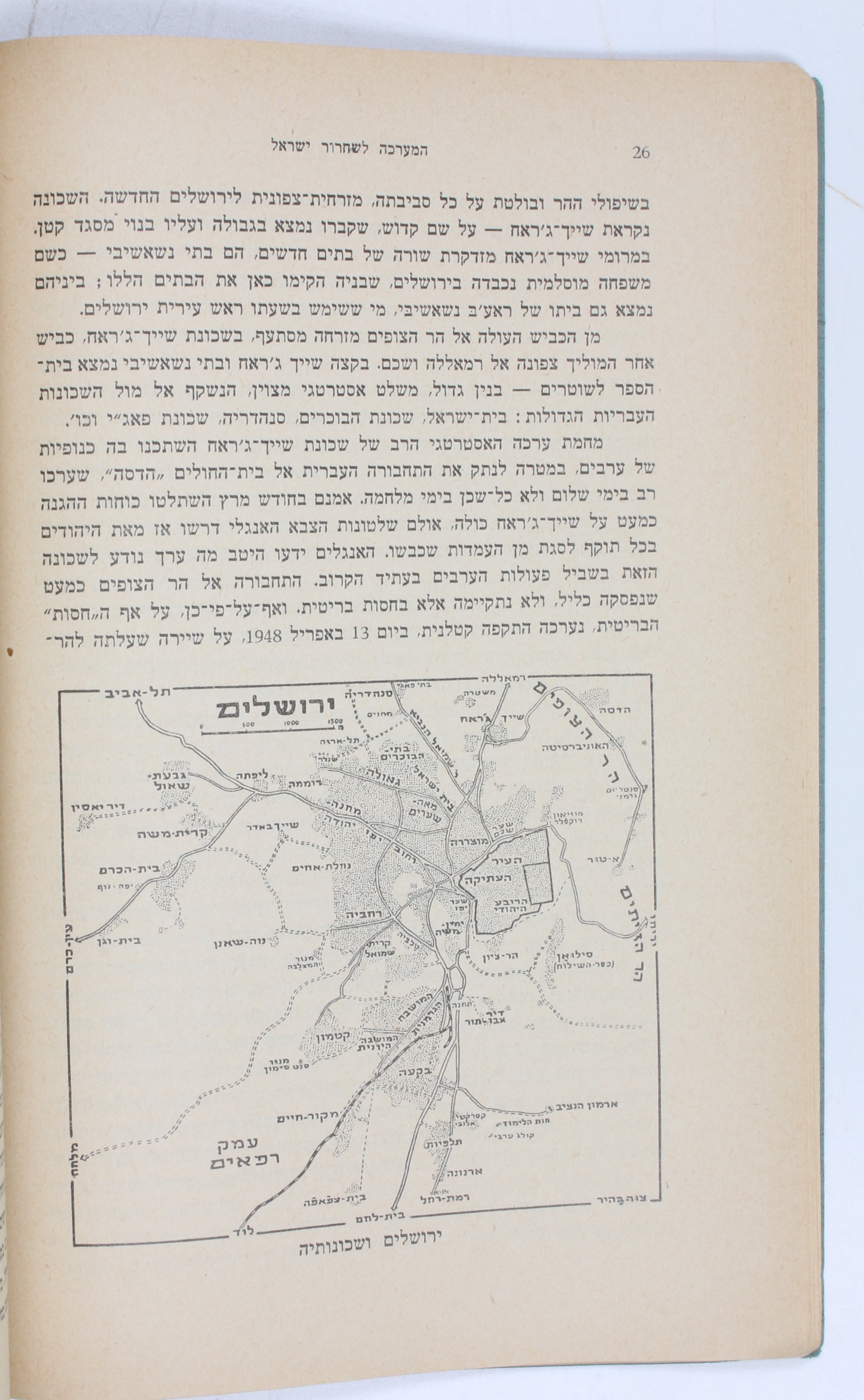
First edition of "The Campaign for the Liberation of Israel": a rare publication on the First Arab-Israeli war by Israeli geographer Zev Vilnay (1900-88). Better known for his lectures on outdoor hiking and touring in Israel, Vilnay also served as a military topographer in Haganah and later the Israel Defense forces. His work, written in Hebrew, is profusely illustrated with maps showing transportation corridors, troop movements, and military and civilian installations. Vilnay's maps depict battles in and around Jerusalem, Haifa, Tel Aviv, the Upper and Eastern Galilee, and many more, discussing strategy and the use of infrastructure and landscape in waging war. An interesting geographer's view of Israeli military action during the 1948 Arab-Israeli War.
Light wear to spine.
OCLC 19195703.
Ähnlich
-
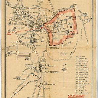
Guide Map of Jerusalem. PDR/MISC/1768.Jerusalem, 1945.
€ 400,00 -
![[Photograph album of French Lebanon and Syria at war].](https://inlibris.com/wp-content/uploads/2024/03/img-bn61414-324x324.jpg)
[Photograph album of French Lebanon and Syria at war].Lebanon, Syria, and Palestine, 1939-1941.
€ 3.500,00 -
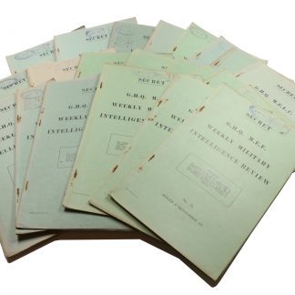
Weekly Military Intelligence Review.Jerusalem, General Headquarters Palestine, 17 May 1946 - 28 Feb. 1947.
€ 19.500,00 -
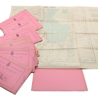
Palestine Survey Maps.Jerusalem?, 1942-1945.
€ 6.500,00