
Early aerial photography of Umm Al Quwain and UAE infrastructure
Aerial surveying photographs of Umm Al Quwain and surroundings.
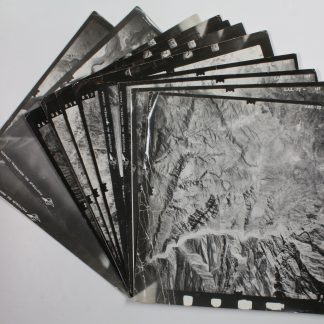
11 black-and-white vertical aerial photographs, 245 x 253 mm. Stored in custom-made black card portfolio.
€ 8.500,00
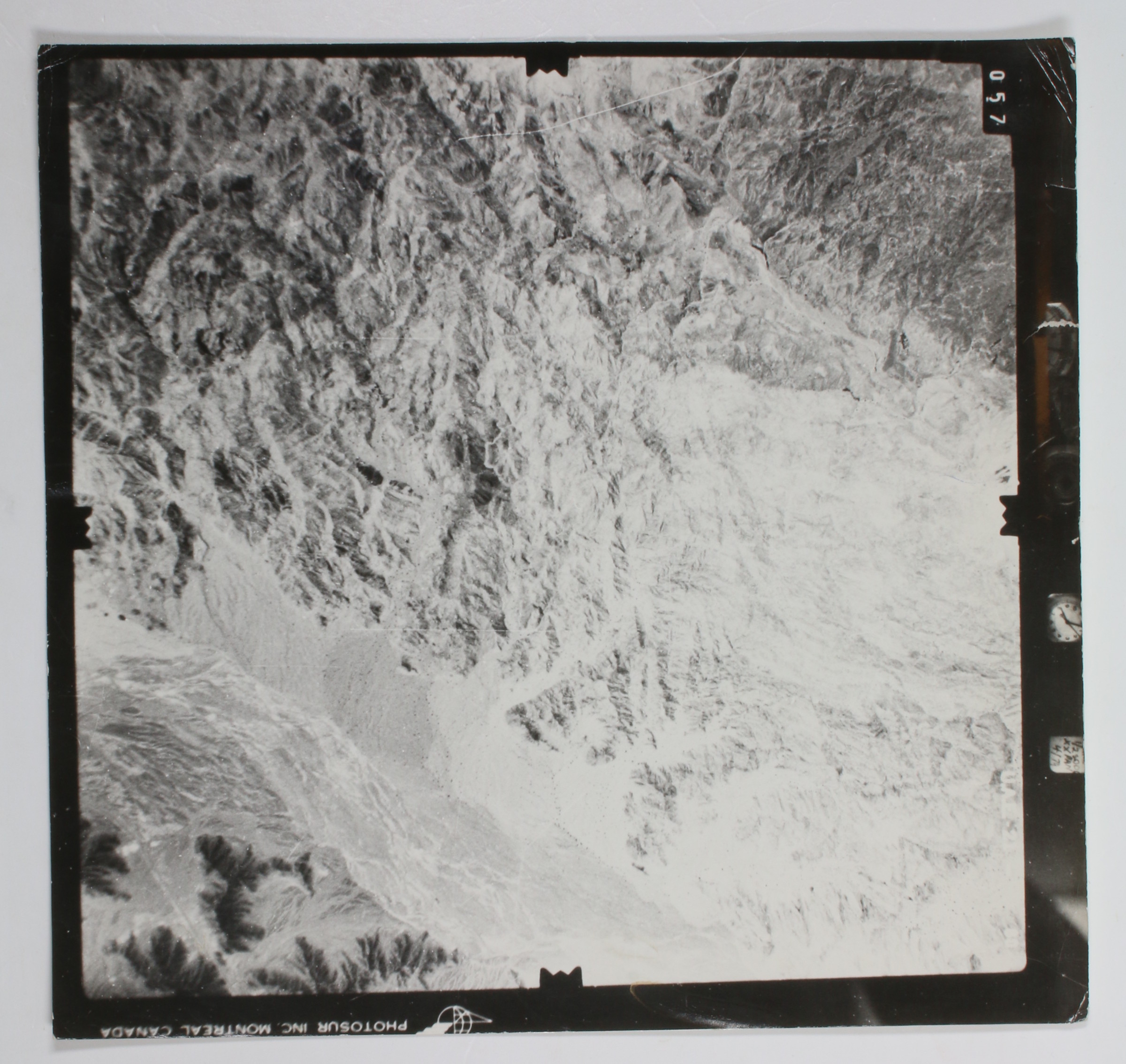
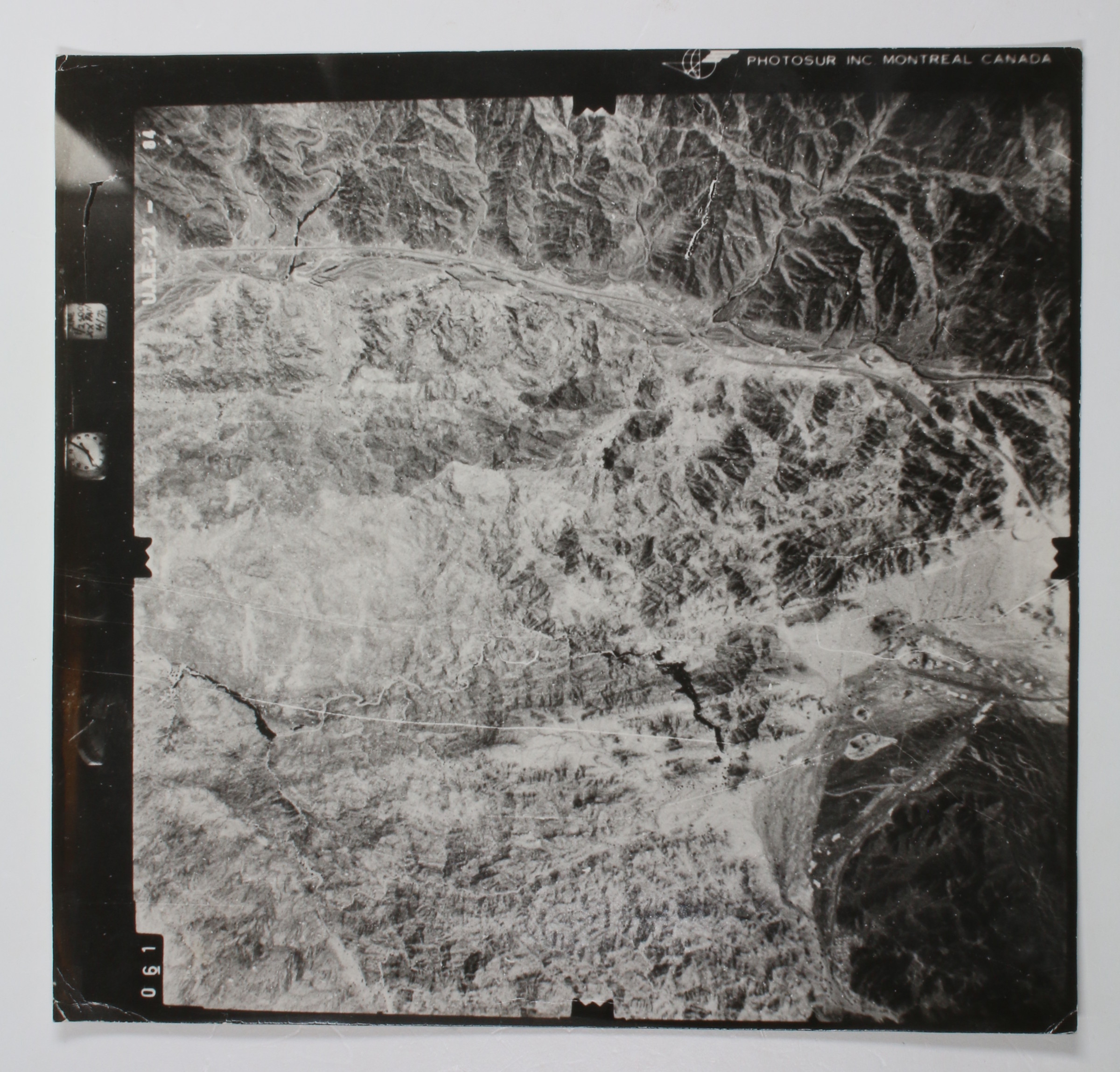
An early, apparently unpublished set of aerial survey photographs of the northern United Arab Emirates taken in the first few years after the formation of the Union, including two photographs of the city of Umm Al Quwain and numerous shots of early infrastructure and urban planning in the form of highways and the Umm Al Quwain city grid system. In the latter, King Faisal Street is clearly visible, along with the E11 highway, the longest highway in the United Arab Emirates and one of the region's early modernization projects. The further photographs track highways along wadis through the mountains in the northeast of the country, likely near the border with Oman. Taken together, an excellent record of the development of the Union in its first decade.
Light wear; altogether in good condition.