


Southwestern Asia, Series K502.
11 colour-printed maps, 558 x 733 mm. Scale 1:250,000.
€ 3.500,00
First edition. A collection of military charts from the K502 series of topographic maps of the Middle East, indicating international boundaries, transportation, communications, water features, ruins, passes, regional, tribal, area and feature names and populated places. The present maps show the Arabian Gulf, Kuwait, Saudi Arabia, Iran, Bahrain, Qatar and the Abu Dhabi coastline, including Sir Bani Yas, Al Ghubbah and Al Jirab, as well as an inset map of Das Island. All maps include regional boundaries and compilation diagrams, index to adjoining sheets and glossary.
The set consists of sheets NG 39-1, NG 39-2, NG 39-6, NG 39-7, NG 39-10, NG 39-11, NG 39-14, NG 39-16, NH 39-9, NH 39-10, NH 39-14.
Occasional slight waterstaining and marginal tears.
Cf. OCLC 77978831.
Ähnlich
-

Iran (Persia) and Iraq.London, 1930s.
€ 650,00 -

Voyage en Arabie & en d'autres Pays circonvoisins. Tome premier (-second). …Amsterdam & Utrecht, 1775-1780.
€ 6.000,00 -
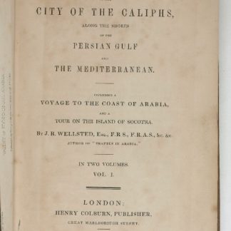
Travels to the City of the Caliphs, along the Shores of the Persian Gulf …London, 1840.
€ 6.000,00 -
![Hodaeporicon Indiae Orientalis; Das ist: Warhafftige Beschreibung der ansehnlich lobwürdigen Reyß, welche der edel, gestreng und weiterfahrne Ritter, H. Ludwig di Barthema von Bononien aus Italia bürtig, in die Orientalische und Morgenländer, Syrien, beide Arabien, Persien und Indien, auch in Egypten und Ethyopien, zu Land und Wasser persönlich verrichtet [...].](https://inlibris.com/wp-content/uploads/2020/05/img-bn45427-324x324.jpg)
Hodaeporicon Indiae Orientalis; Das ist: Warhafftige Beschreibung der ansehnlich …Leipzig, 1608.
€ 28.000,00
