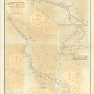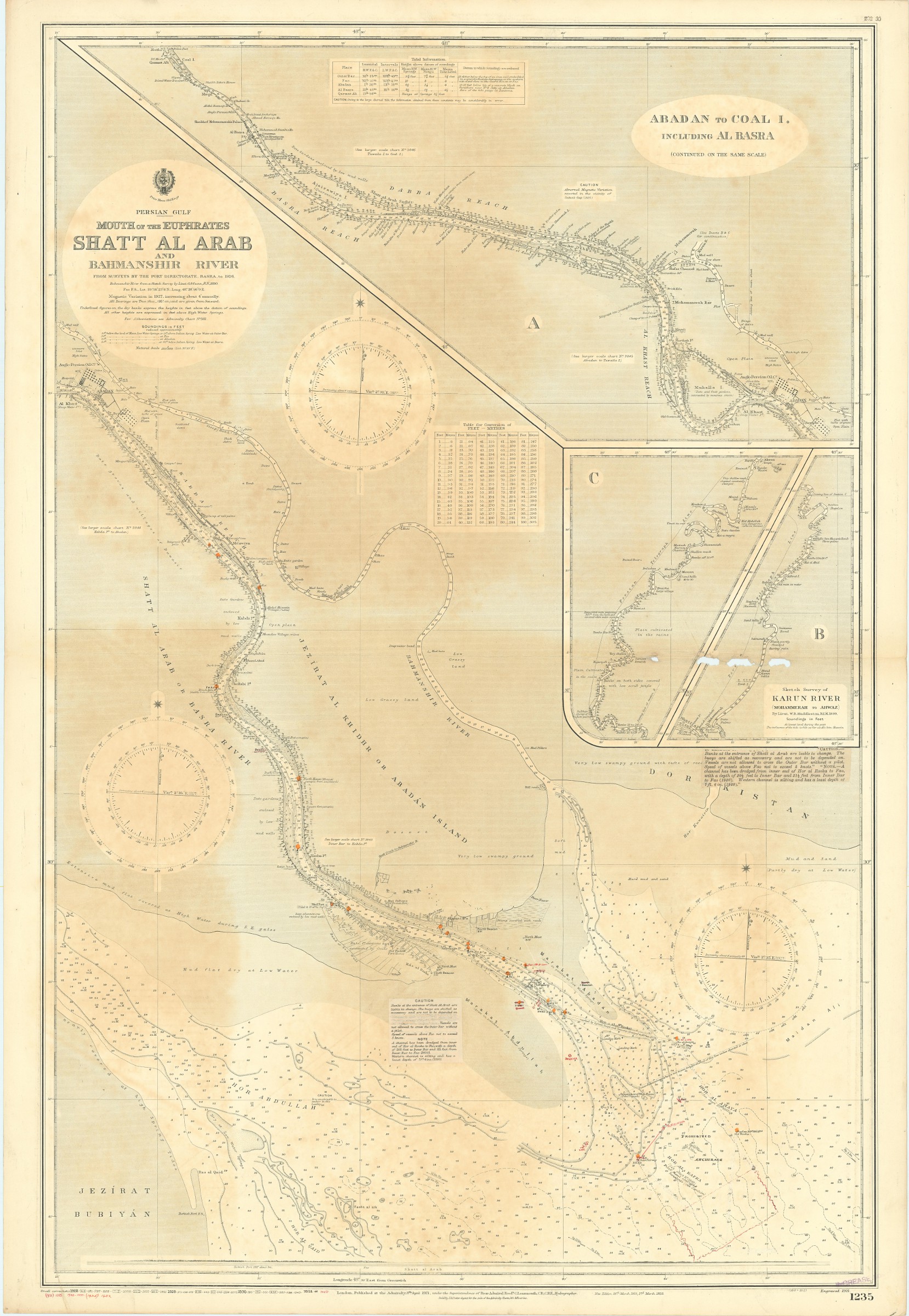
Mouth of the Euphrates. Shatt Al Arab and Bahmanshir River from surveys by the Port Directorate, Basra, to 1926.
London, published at the Admiralty, 1931.
1025 x 700 mm. Scale 1:100,000.
€ 800,00
Engraved chart of Shatt Al Arab and Bahmanshir River (1235), with inset charts showing Abadan to Coal Island including Al Basra and Karun River. Includes tidal information, compass roses, soundings, seabed notations, currents, sandbanks, shoals, lighthouses and beacons picked out in yellow and red, inland elevations, detailing and buildings. First published in 1921, last revised in 1931. Folded and browned, with a few paper flaws in the fold.
Ähnlich
-

Reize naar Arabië en andere omliggende landen.Amsterdam & Utrecht, 1776-1780.
€ 6.000,00 -
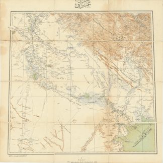
Iraq.Istanbul, 1915 CE = 1331 Rumi.
€ 3.500,00 -
![A Voyage from England to India, in the Year MDCCLIV, and an Historical Narrative or the Operations of the Squadron and Army in India, under the Command of Vice-Admiral Watson and Colonel Clive [...]. Also, a Journey from Persia to England, by an Unusual Route [...].](https://inlibris.com/wp-content/uploads/2020/04/img-bn31828-324x324.jpg)
A Voyage from England to India, in the Year MDCCLIV, and an Historical …London, 1773.
€ 4.500,00 -

Persian Gulf. ONC-H-6/7. Operational navigation chart.St. Louis, 1967.
€ 1.500,00