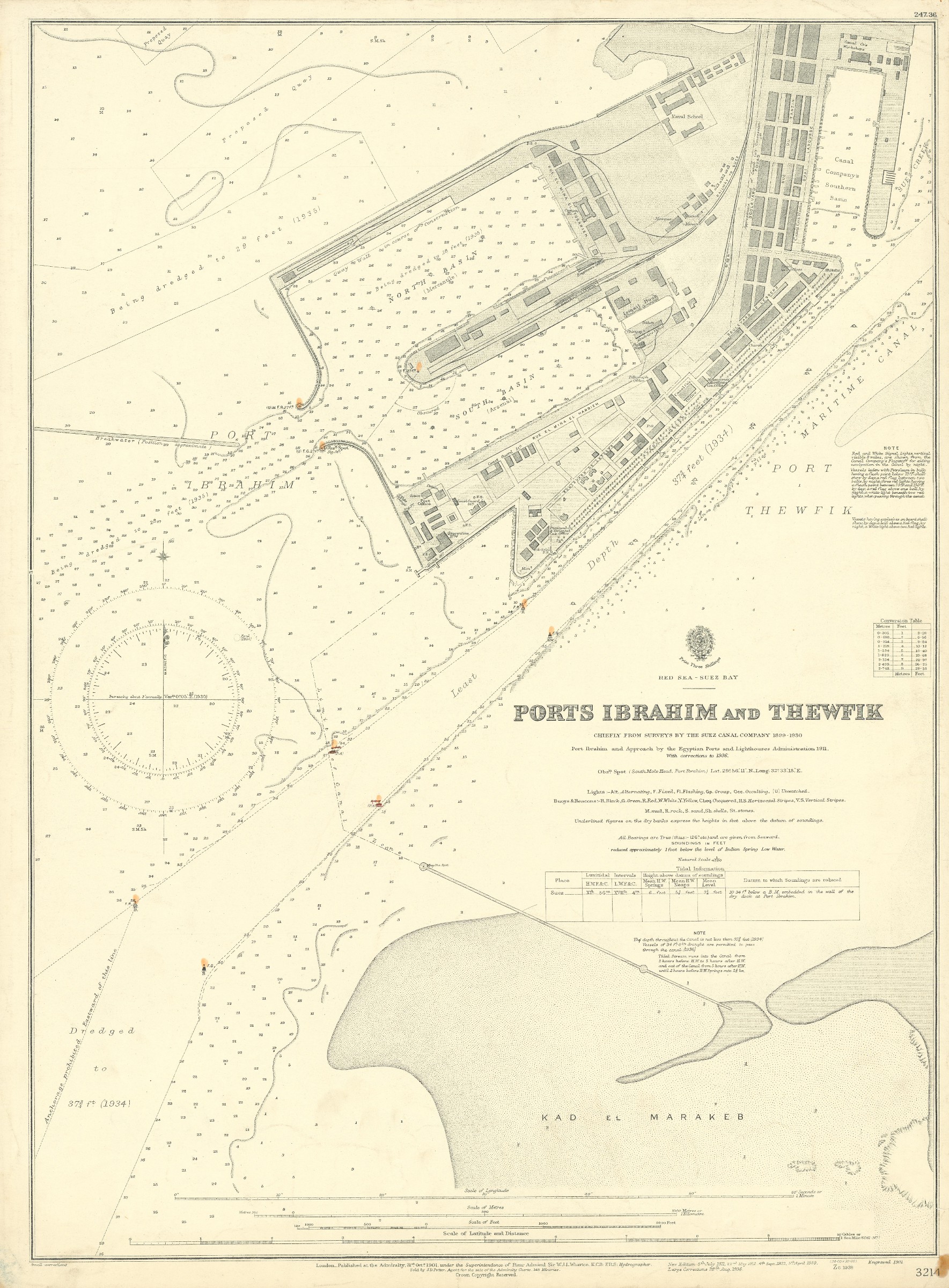
Ports Ibrahim and Thewfik. No. 3214.
Standard issue, 515 x 700 mm. Scale 1:4,850.
€ 450,00
Nautical chart of Port Ibrahim at the entrance of the Suez Canal, prepared by the British Admiralty. It details the north and south harbour basins and the railway station in between, as well as marina buildings including the coast guard station, a quarantine building, a telegraph office, a mosque, and the naval school. The chart includes the Canal Company's premises, showing their southern basin, workshops and offices. Further, it features notes on fairways being dredged in the 1930s and shows the sandbank of Kad el Marakeb south of the port.
The British Admiralty has produced nautical charts since 1795 under the auspices of the United Kingdom Hydrographic Office (HO). Its main task was to provide the Royal Navy with navigational products and service, but since 1821 it has also sold charts to the public. The present chart was composed after surveys carried out by the Suez Canal Company from 1899 to 1930; it was first published in 1901 and saw several corrections up to 1936.
Captioned in print and in a former collector's hand on verso. Small brownstain and small marginal tear near lower right corner.
Ähnlich
-
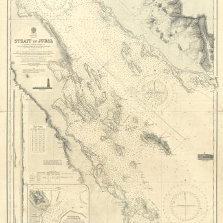
Strait of Jubal. No. 2838.London, 1931.
€ 450,00 -
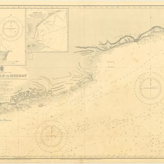
Arabia, South-East Coast. Ras al Kalb to Merbat, surveyed by Commanders …London, 1930.
€ 1.500,00 -
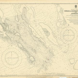
Red Sea - Gulf of Suez. Gimsah and Kabreit Anchorages and Approaches surveyed …London, 1920.
€ 800,00 -

Voyage en Arabie & en d'autres Pays circonvoisins. Tome premier (-second). …Amsterdam & Utrecht, 1775-1780.
€ 6.000,00
