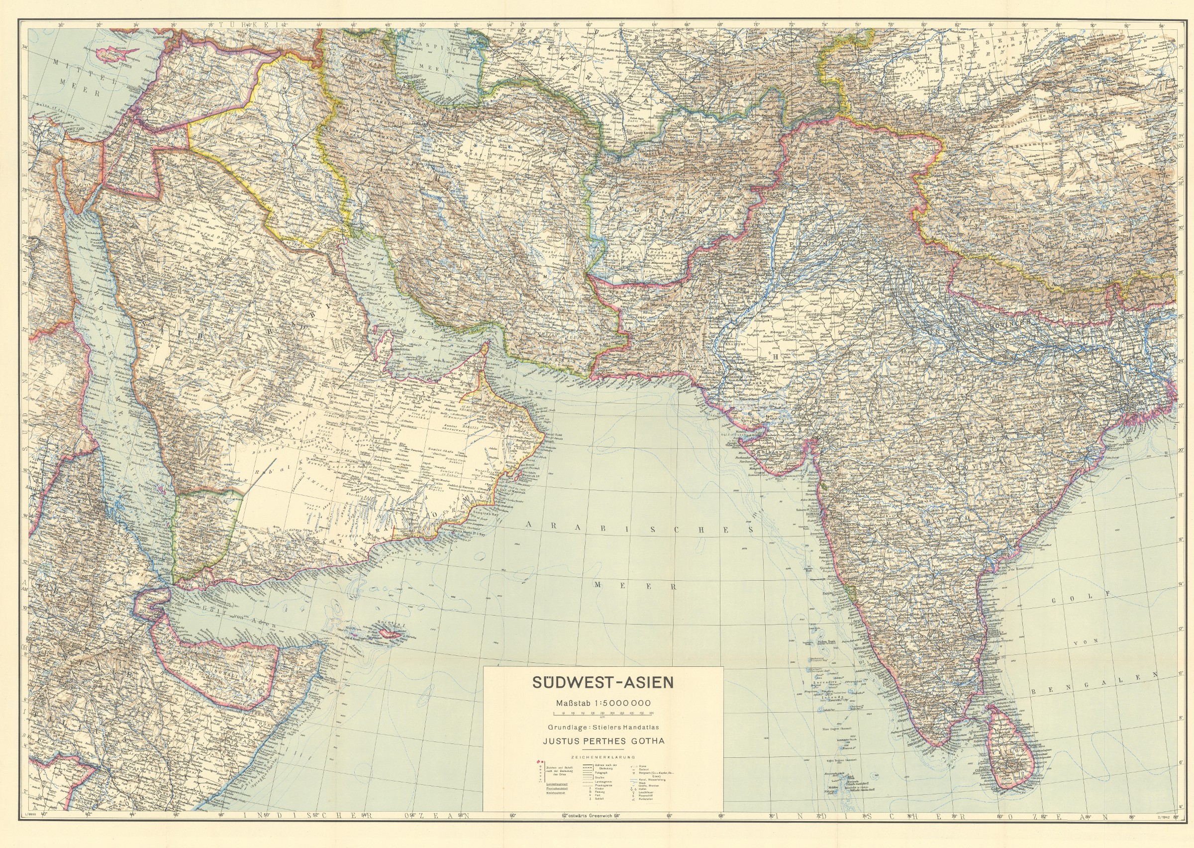
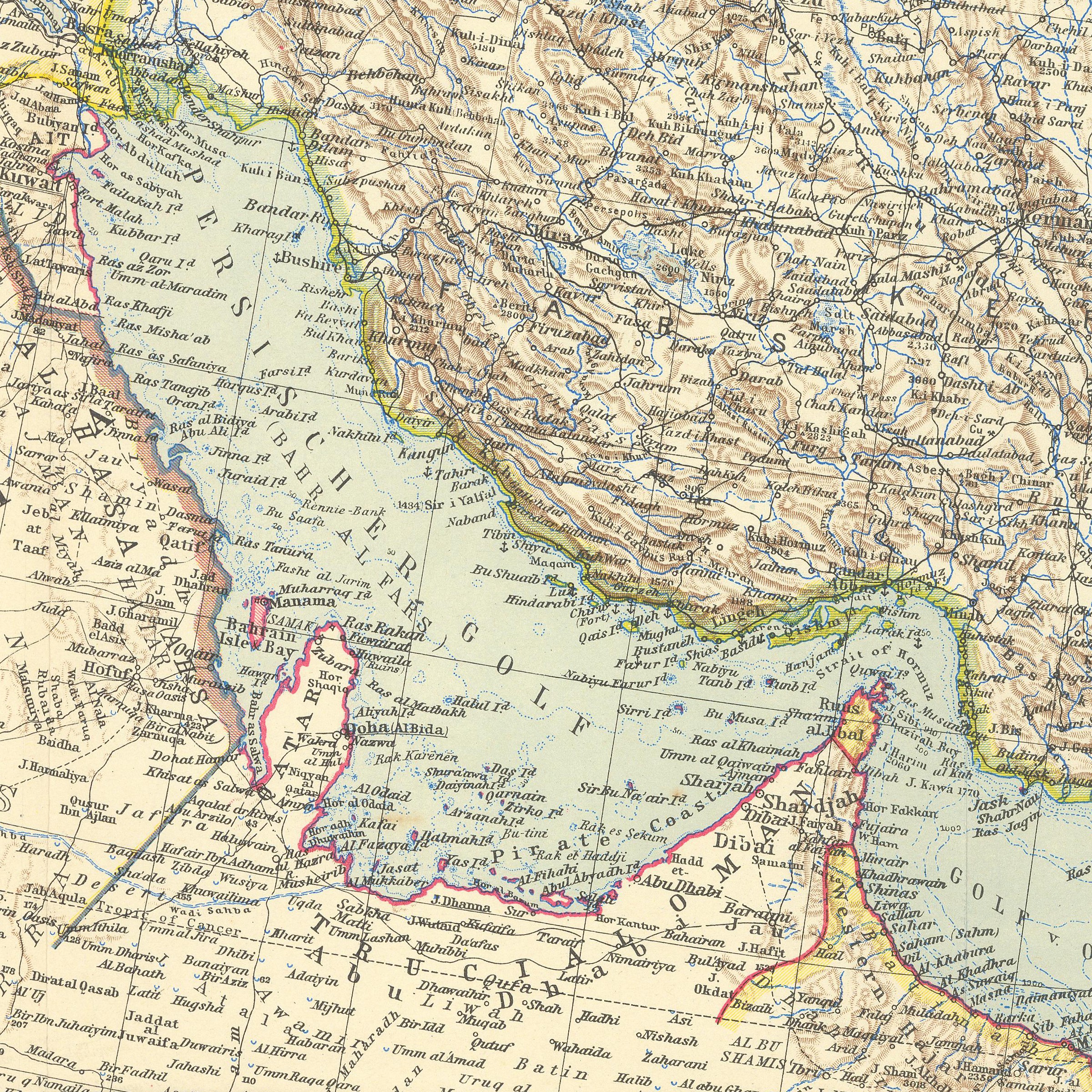
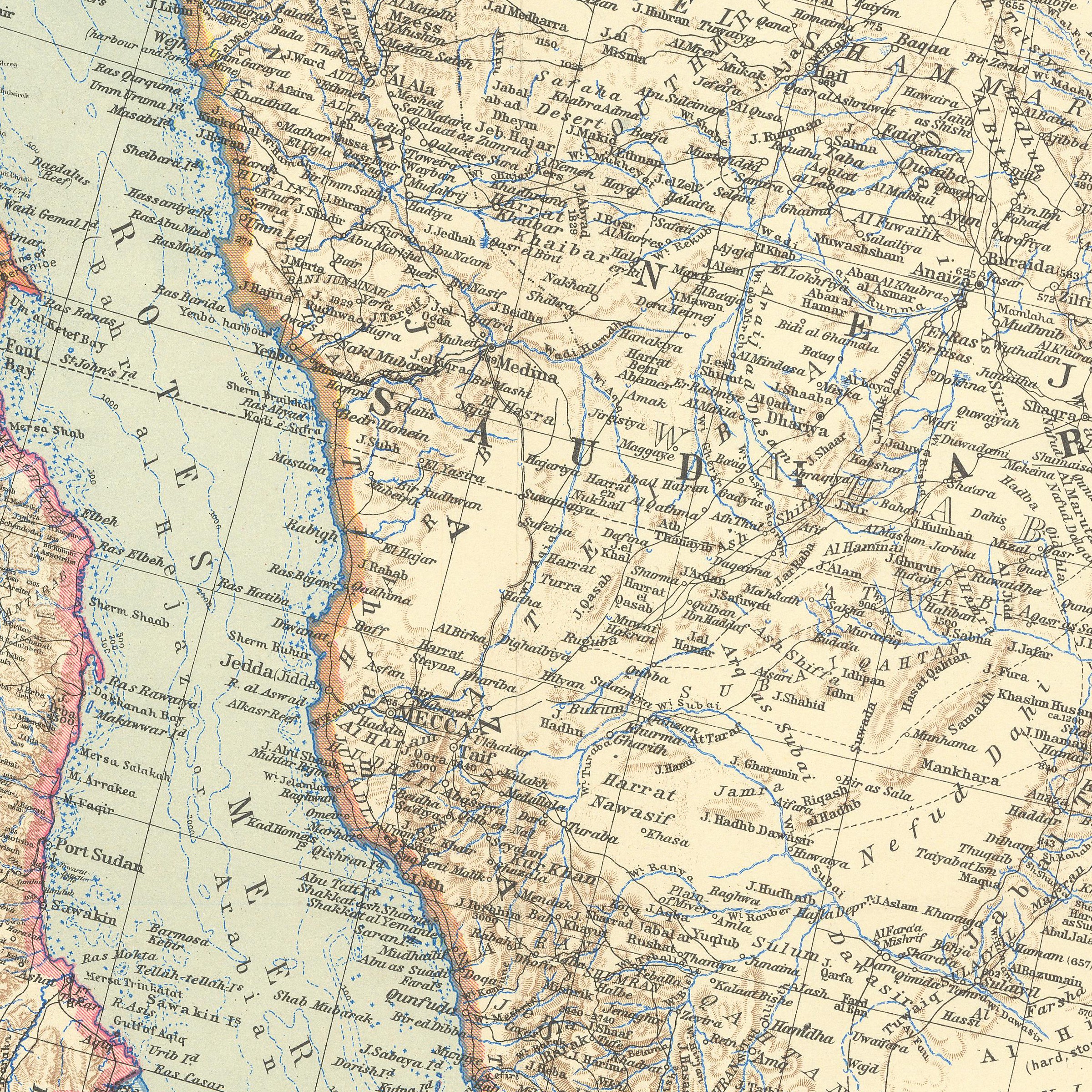
Südwest-Asien. 1:5,000,000. Grundlage: Stielers Handatlas.
Gotha, Justus Perthes, 1942.
117 x 78 cm. Constant ratio linear horizontal scale: 1:5,000,000. Relief shown by hachures, contours, and spot heights. Depth shown by soundings. Loosely stored within printer wrappers.
€ 150,00
Third edition of this German wartime map of the Middle East, parts of Asia, and India, first published thus in 1940. Based on "Stielers Handatlas" and issued within Perthes' "Ubique terrarum" series (no. 20).
In excellent state of preservation, detached from its original wrappers.
Literatur
OCLC 164843864.
Ähnlich
-

Voyage en Arabie & en d'autres Pays circonvoisins. Tome premier (-second). …Amsterdam & Utrecht, 1775-1780.
€ 6.000,00 -

Persian Gulf. ONC-H-6/7. Operational navigation chart.St. Louis, 1967.
€ 1.500,00 -
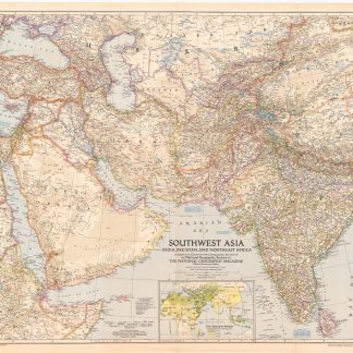
Southwest Asia, India, Pakistan, and Northeast Africa.Washington, DC, 1952.
€ 850,00 -
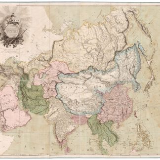
Asia. To Major James Rennell, Esqr. F.R.S. &c. &c. This Map is …London, 1801.
€ 12.500,00