Stratigraphic maps from the first oil region in the Middle East
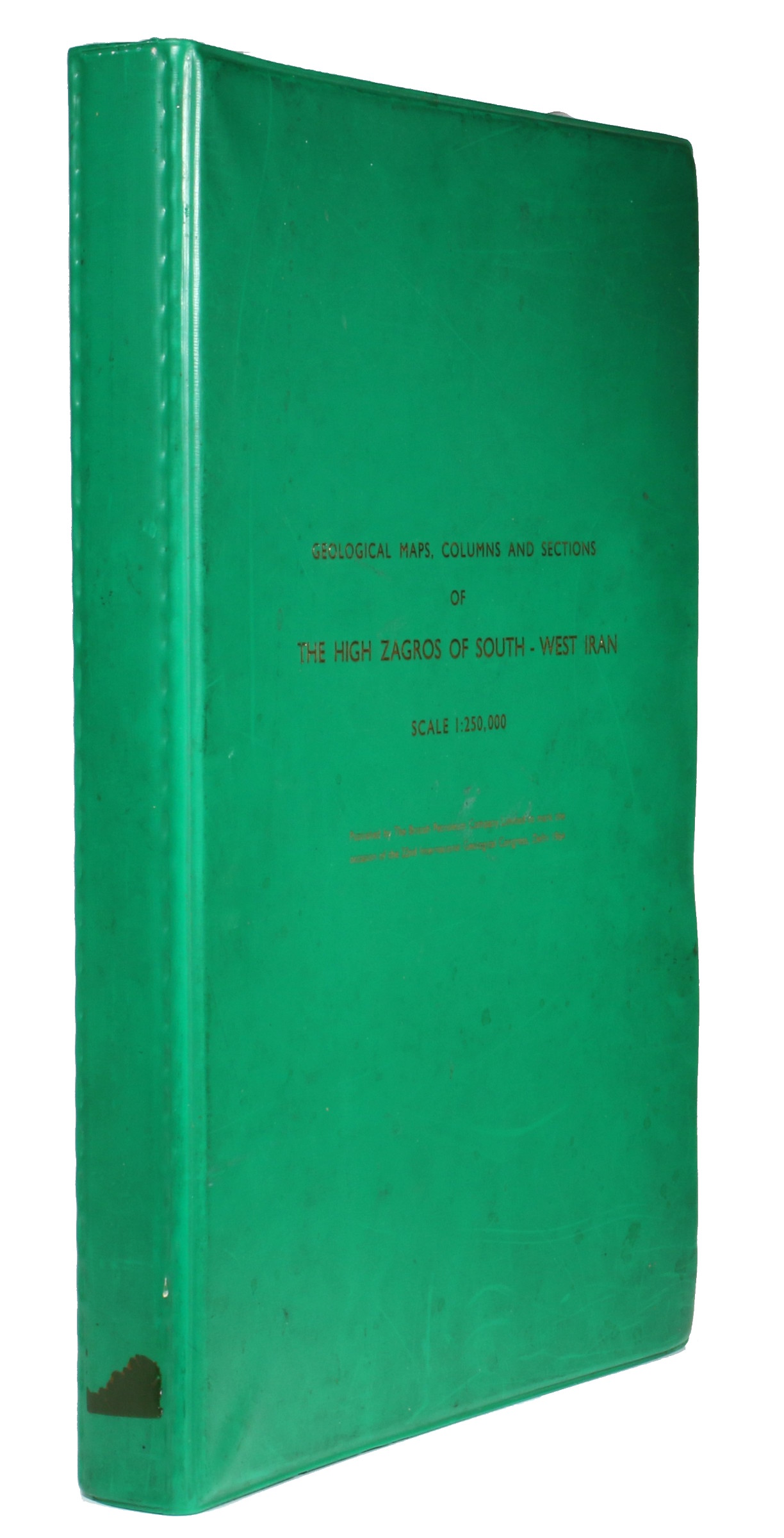
Geological Maps, Columns, and Sections of the High Zagros of South-West Iran.
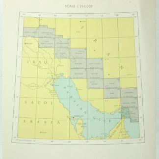
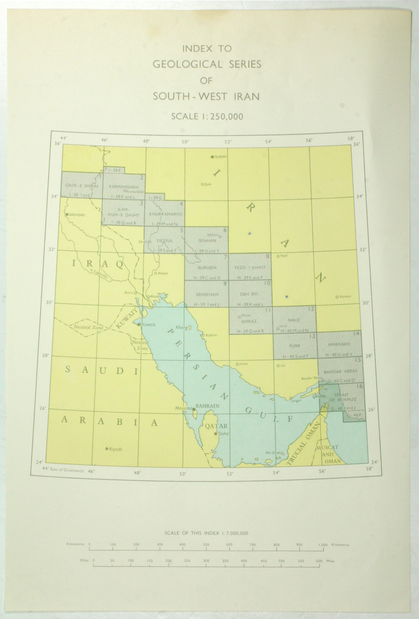
Folio. 16 colour-printed maps (717 x 980 mm), scale 1:250,000, plus (4) pp. of notes and an index map. Housed in custom green album titled in gilt.
€ 8.500,00
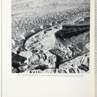
Published by the British Petroleum Company Limited (today, BP) to mark the occasion of the 22nd International Geological Congress, this monumental collection of 16 large colour maps covers some of the most important and oil-rich regions of Iran. The southwest saw the first ever oil strike in the country's history, when in 1908 a group of British geologists discovered oil at Masjed Soleyman - not only the first commercial oil strike in Iran, but the first of all the oil-producing countries of West Asia and the Arabian Peninsula. Few accidents of geography have had such a thorough and global effect on world history as those of the oil regions of south-west Iran.
The sixteen large maps illustrate vital stratigraphic information, colour-coded and in great detail. Regions covered include Qasr-e Shirin, Kermanshah, Ilam-Kuh-e Dasht, Khurramabad, Dezful, Isfahan, Burujen, Yezd-i Khast, Behbehan, Deh Bid, Shiraz, Niriz, Furk, Amirabad, Bandar 'Abbas, and the Strait of Hormuz.
A high-quality collection of importance to the economic history of Iran and the whole of the oil-producing zones of the Middle East.
Withdrawn from the Kings College Library, London.
Binder lightly scuffed and soiled; maps near pristine.