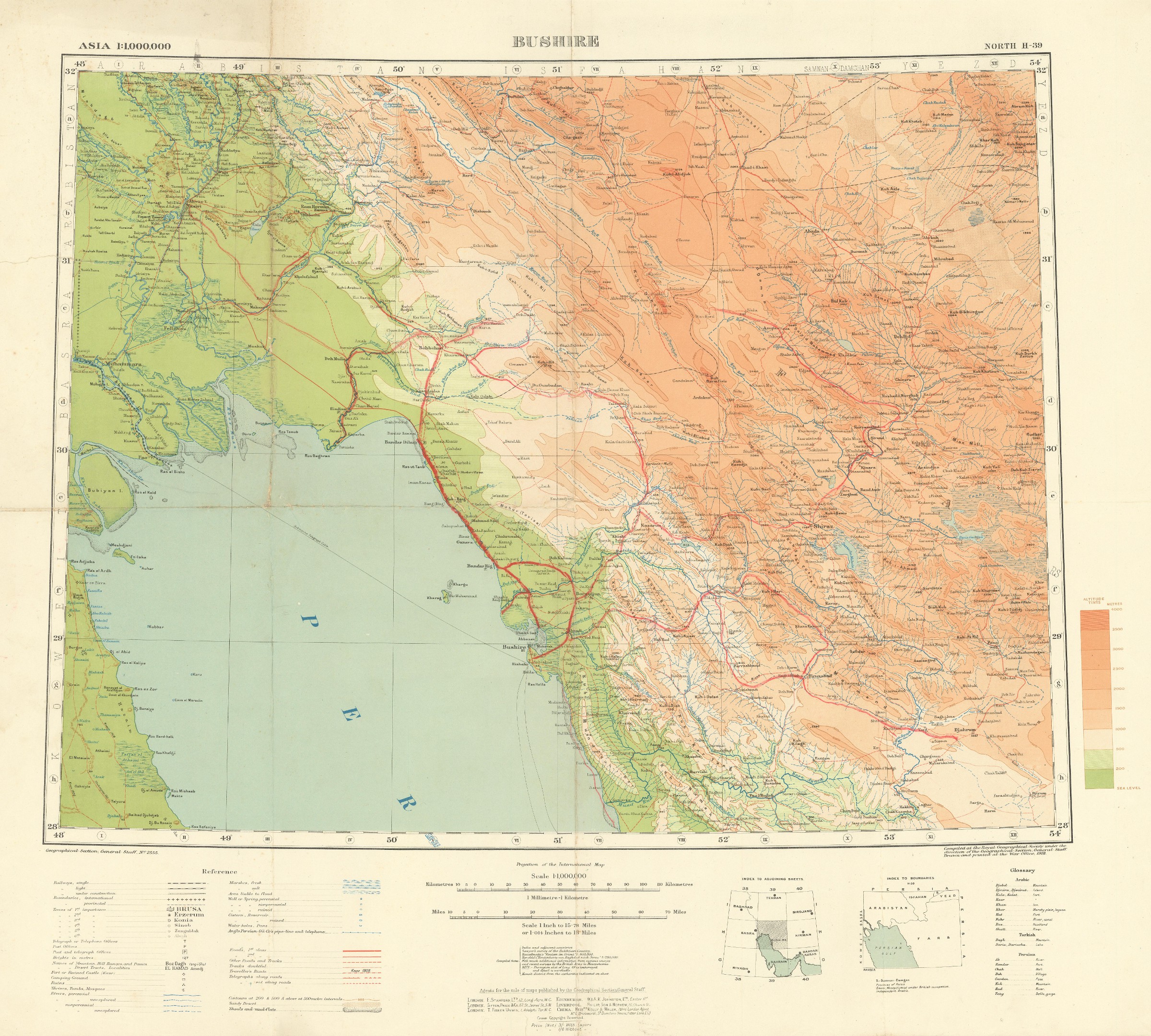
Asia 1:1,000,000. Bushire. Sheet North H-39.
London, Geographical Section, General Staff, 1918.
Original colour lithographed map. 465 x 630 mm on 613 x 690 mm (sheet). Scale 1:1,000,000. Folded.
€ 950,00
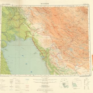
Rare first edition of this wartime map of the Bushehr area on the south-western coast of Persia, on the Gulf. It stretches from Muhammara city and Bubiyan Island off the coast of present-day Kuwait in the West to Fars province with Shiraz and the marshlands that would become lakes Tashk and Bakhtegan in the East. Shows important places, railways, roads and boundaries, rivers, and elevation.
Small edge flaws; main roads marked by hand with a thick red pencil. A single copy available at the Hamburg State and University Library.
Literatur
OCLC 246231053.
Ähnlich
-

Carte de l’Empire Ottoman comprenant les possessions de la Porte en Europe, …Paris, 1825.
€ 3.000,00 -

Reize naar Arabië en andere omliggende landen.Amsterdam & Utrecht, 1776-1780.
€ 6.000,00 -

Southwestern Asia, Series K502.Washington DC, 1956-1961.
€ 3.500,00 -
Entwurf! Militärgeographische Angaben über Iran: Ortschaftsverzeichnis; …Berlin, 1943.
€ 6.500,00