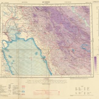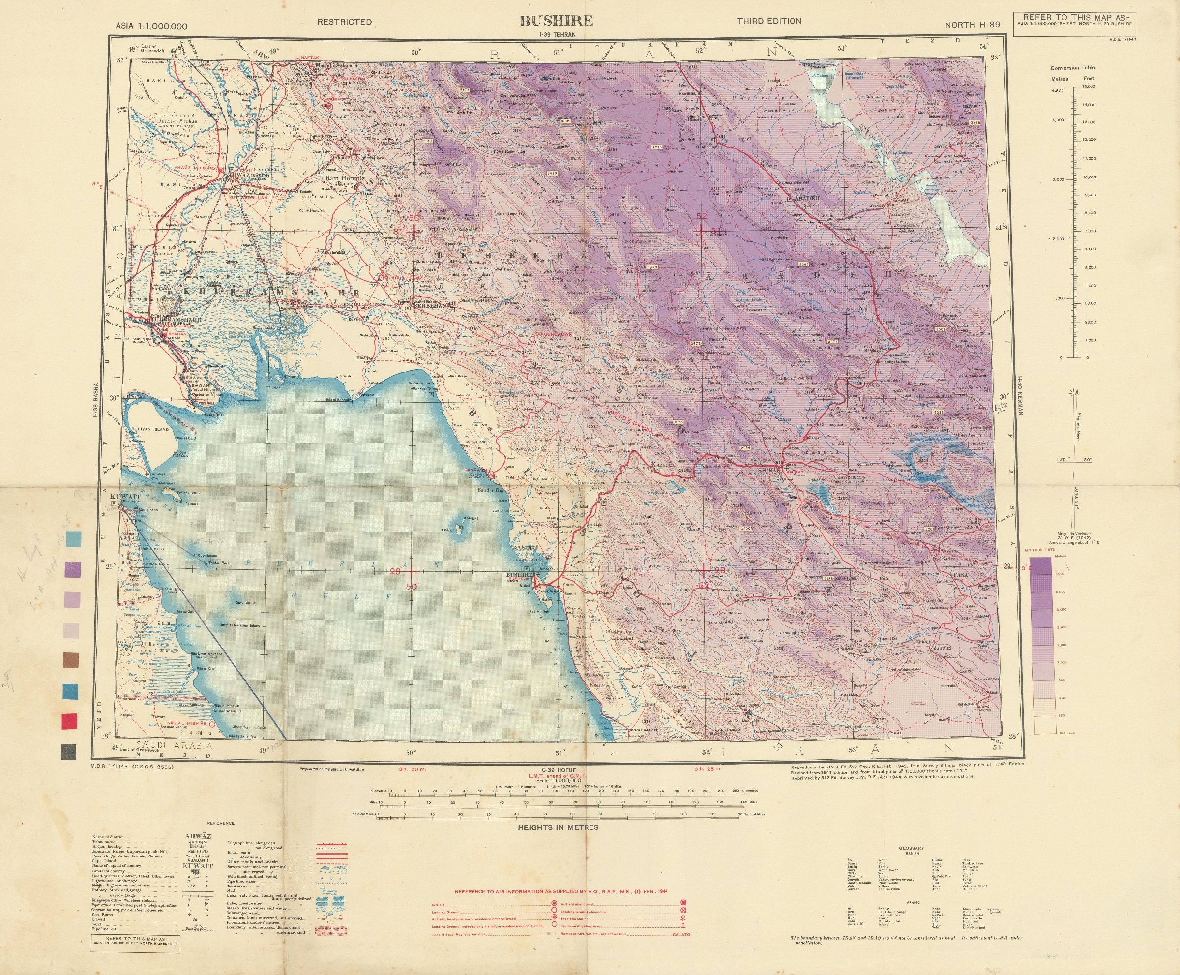
Asia 1:1,000,000. Bushire. Sheet North H-39.
Original colour lithographed map. 475 x 612 mm on 644 x 785 mm (sheet). Scale 1:1,000,000. Folded.
€ 850,00
Third edition of this wartime map of the Bushehr area on the southwestern coast of Persia, on the Gulf. The city was occupied by British troops during the Anglo-Soviet invasion of Iran; these were replaced by American soldiers in 1942, who installed a military supply route for the Soviet Union through Iran (the "Persian Corridor").
With a reminder that "the boundary between Iran and Iraq should not be considered as final. Its settlement is still under negotiation".
Interestingly, the present map was copied by the German Luftwaffe as early as 1942 and distributed as "Weltkarte 1:1.000.000 (Iran) / H-39/G-39, Bushire. Hergestellt im Auftrage des Generalstabs des Heeres, Abt. für Kriegskarten und Vermessungswesen (II)".
Pencil annotations calculating the estimated time of arrival from Kuwait city to Taylor Rock off the coast of Kuwait suggest, that the map was used for navigation.
Somewhat toned and showing slight edge wear. Very rare.
OCLC 1422580272.
Ähnlich
-

Iran (Persia) and Iraq.London, 1930s.
€ 650,00 -
Entwurf! Militärgeographische Angaben über Iran: Ortschaftsverzeichnis; …Berlin, 1943.
€ 6.500,00 -

Reize naar Arabië en andere omliggende landen.Amsterdam & Utrecht, 1776-1780.
€ 6.000,00 -
International Map of the World 1:1,000,000. 'Bandar Abbas. Sheet N. G-40.London, 1942.
€ 1.500,00