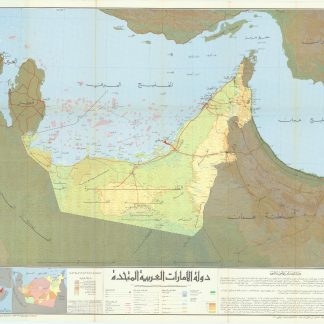
Dawlat al-Imarat al-'Araabiyah al-Muttahidah [United Arab Emirates].
Colour-printed map, 590 x 740 mm. [Scale 1:750,000]. Folding with title on the reverse. In Arabic.
€ 9.500,00
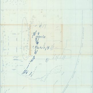
The hitherto most detailed map of the newly-formed United Arab Emirates, showing the undefined border with Saudi Arabia and the early border with Oman, each later to be contested, and featuring the earliest highway system and oil fields and pipelines. In the Gulf all of the UAE's pearling fields are highlighted in pink. Also marked are the crucial seaports at Abu Dhabi, Dubai, Sharjah, and Ras Al Khaimah, and the Liwa villages, the ancestral homeland of the Al Nahyan royal family of Abu Dhabi. Included is a table of oil production through 1972 and a small inset map of the concessions of oil companies, including Pan Ocean, Middle East, Abu Dhabi, Philips, and Bandaq Oil Companies, Dubai Petroleum Company, and Abu Dhabi Marine Areas. An English version of the same map appeared in the same year.
A fantastic record of a newly-born country and the state of its infrastructure and oil industry at the time of unification.
Small flaw to title.
Cf. OCLC 40862465 (larger format).
Ähnlich
-
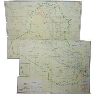
Index Map of Iraq and Kuwait with oil fields.No place, 1959 / 1970.
€ 450,00 -
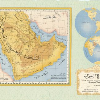
Jazirat al-'Arab wa-al-manatiq al-mutakhimah la-ha: kharitah tamhidiyah …Dharan, 1950-52 CE = 1369-71 H.
€ 4.500,00 -
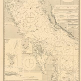
Persian Gulf. Western Sheet. No. 2837b.London, 1948.
€ 1.500,00 -
North East Rub Al Khali. B-1583-X.Saudi Arabia, 1953.
€ 2.800,00