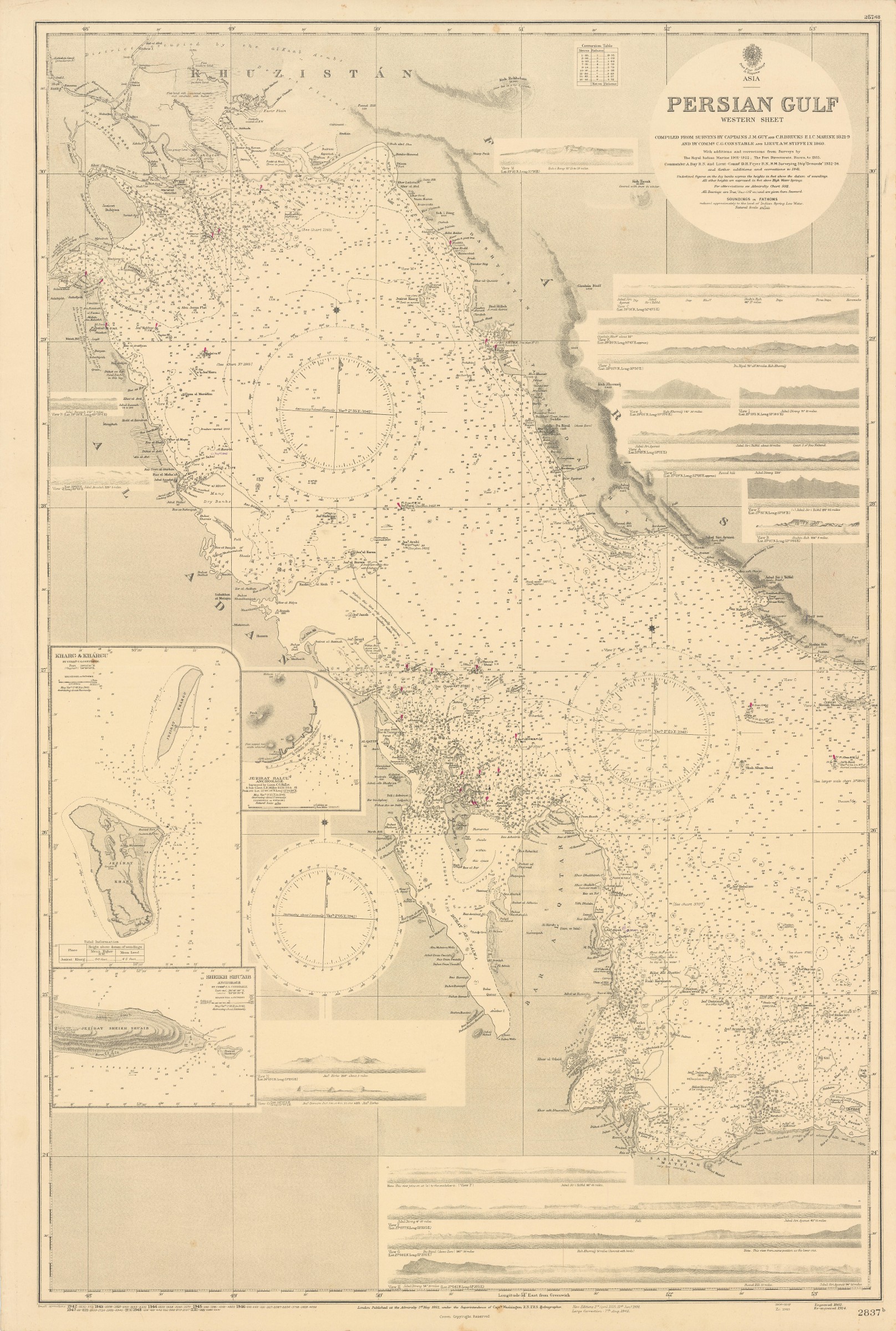
Persian Gulf. Western Sheet. No. 2837b.
Standard issue, 695 x 1025 mm. Scale 1:876,000.
€ 1.500,00
Fine nautical chart of the western portion of the Arabian Gulf. With 3 inset maps of Kharg and Khárgu, Jezirat Halul anchorage, and Sheikh Shu'aib, as well as 18 small panoramic coastal views.
The chart provides details of Qatar and Bahrein as well as of parts of Iran, Iraq, Kuwait, and Saudi Arabia. Major labelled localities include Basra, Kuwait and Kuwait Harbour, Bushire, Al Qatif, Doha and Muharraq. Further, the chart marks the Anglo-Persian oil pipeline as well as landmarks including Dilam fort and several tombs.
The British Admiralty has produced nautical charts since 1795 under the auspices of the United Kingdom Hydrographic Office (HO). Its main task was to provide the Royal Navy with navigational products and service, but since 1821 it has also sold charts to the public. The present chart was composed after Admiralty surveys between 1821 and 1934; it was first published in 1862 and saw several corrections up to 1948.
With a single fold. A few faint pencil notes. Upper left corner slightly creased.
Ähnlich
-

Carte de l’Empire Ottoman comprenant les possessions de la Porte en Europe, …Paris, 1825.
€ 3.000,00 -
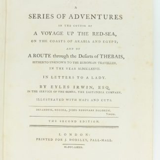
A Series of Adventures in the Course of a Voyage up the Red-Sea, on the …London, 1780.
€ 12.500,00 -
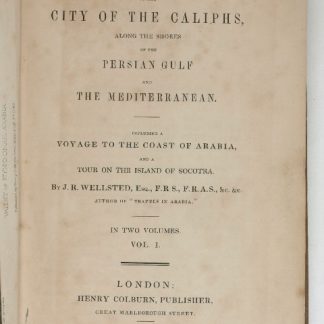
Travels to the City of the Caliphs, along the Shores of the Persian Gulf …London, 1840.
€ 6.000,00 -

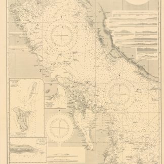
Persian Gulf. ONC-H-6/7. Operational navigation chart.St. Louis, 1967.
€ 1.500,00