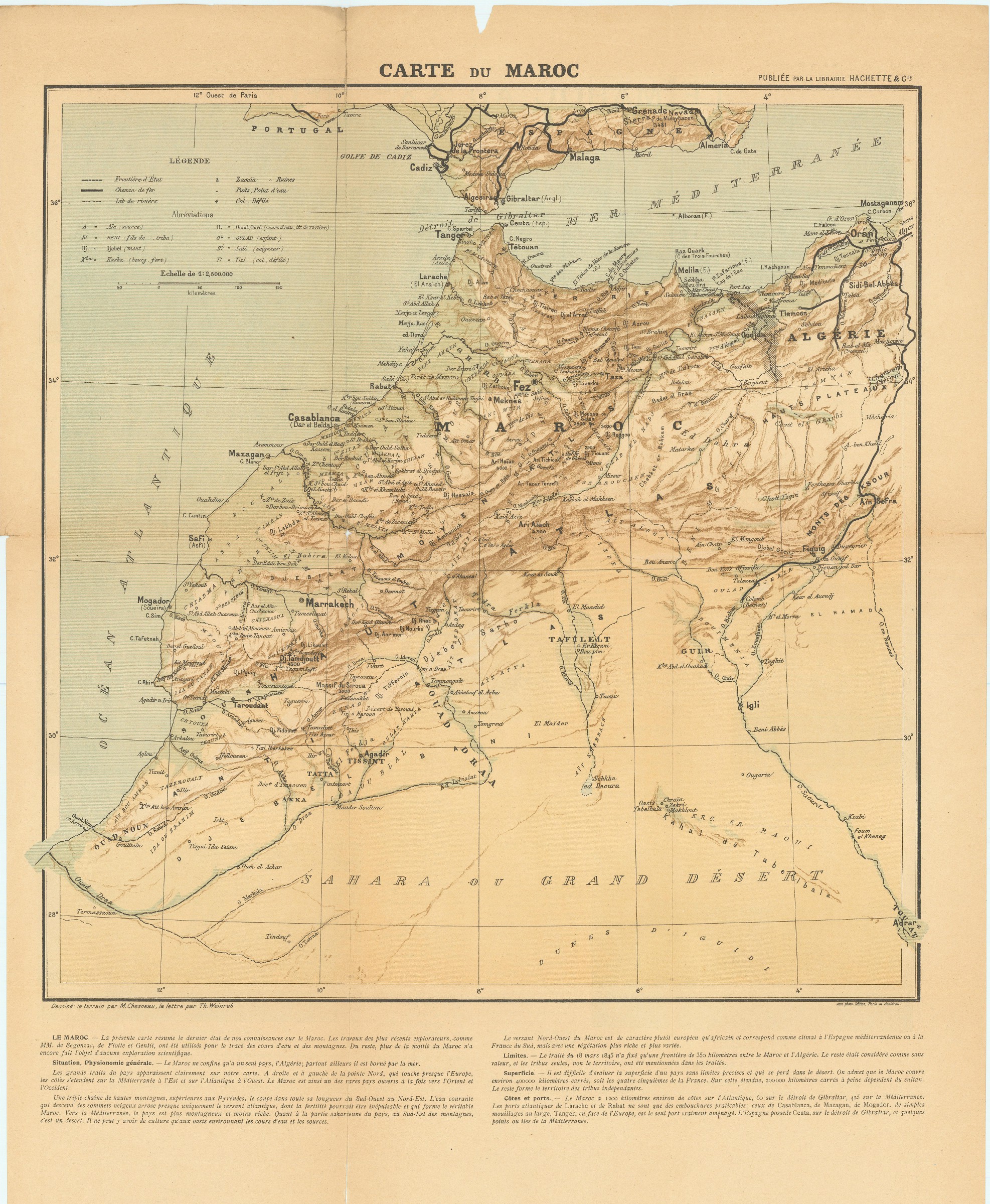
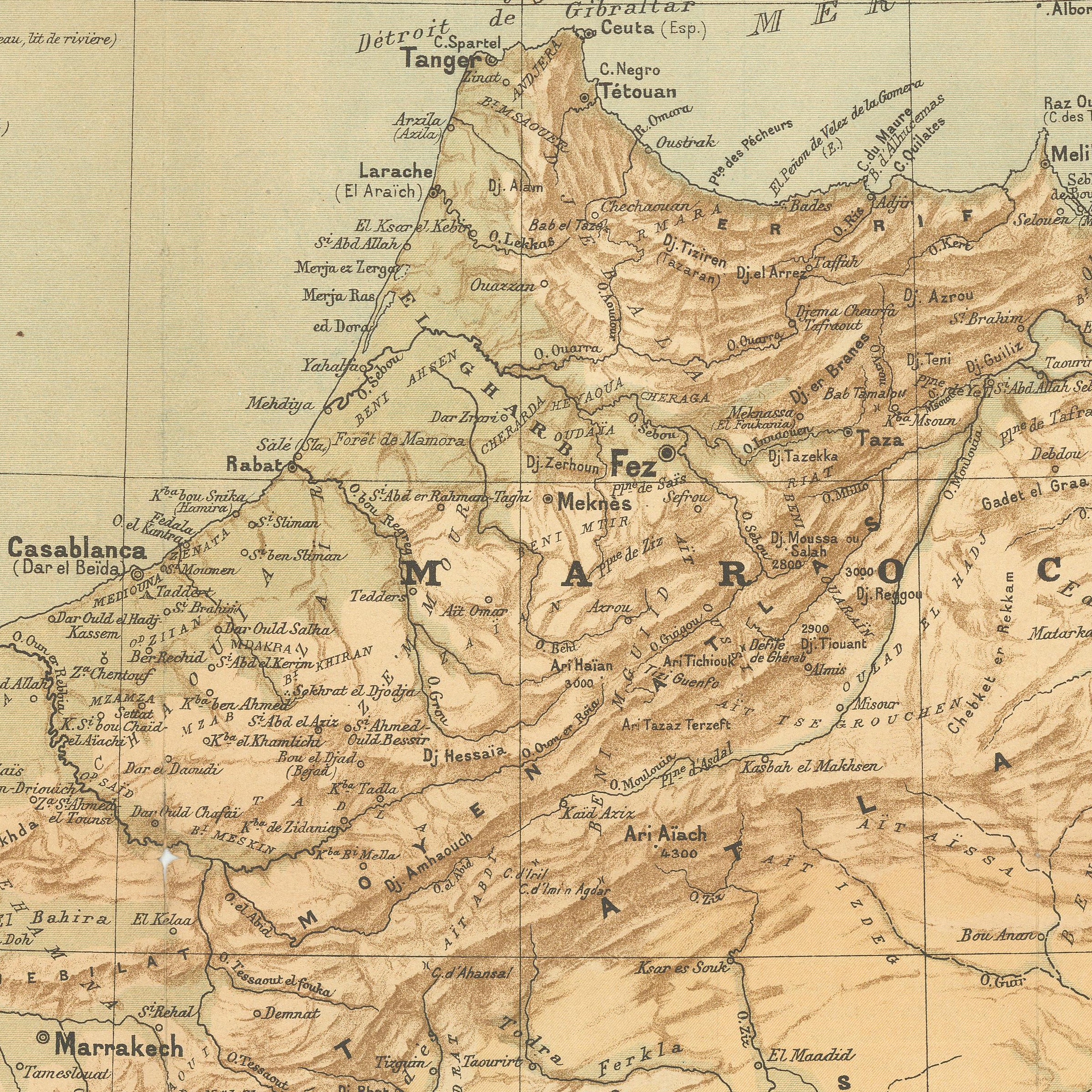

Carte du Maroc à l'échelle de 1:2,500.000e. Tirée en cinq couleurs en lithographie.
Paris, Librairie Hachette & Cie., 1907.
Chromo-lithographed map, ca. 60 x 48 cm, folded in original printed wrapper (with portrait of Sultan Abdulaziz). With text and 9 illustrations printed on the reverse.
€ 200,00
Louis-Vivien de Saint-Martin's map of Morocco, drawn by Chesneau and Weinreb. With topographical notes by Franz Schrader.
Edges slightly frayed; some tears to folds; wrapper dusty and waterstained.
Literatur
OCLC 163347954.
![Port Sudan [and] Approaches to Port Sudan. No. 3492.](https://inlibris.com/wp-content/uploads/2022/04/img-bn57458-324x324.jpg)
![Gulf of Aden [...] Eastern Portion Including Socotra Island. No. 6a.](https://inlibris.com/wp-content/uploads/2022/04/img-bn58797-324x324.jpg)