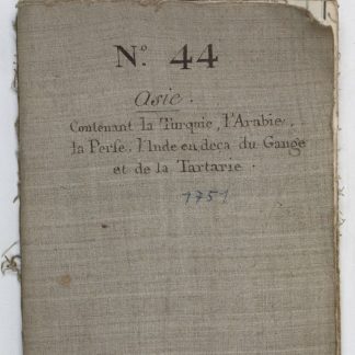
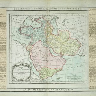
Prémière partie de la carte d'Asie contenant la Turquie, l'Arabie, la Perse, l'Inde en deca du gange et de la Tartarie ce qui est limitrophe de la Perse et de l'Inde.
Paris, chez l'auteur, 1751.
800 x 755 mm. 20 parts mounted on linen.
$7,200.00
A monumental and highly detailed 1751 map of India, Persia, and Arabia by the French cartographer Jean Baptiste Bourguignon d'Anville. Centered on Persia, this map covers from Istanbul to eastern India and Tibet, and from the Black Sea to the Maldives. It offers excellent coverage of the central Asian portions of the Silk Road naming the centers of Samarkand, Bukhara, Lop Nor, and others. At the bottom center there is a large decorative title cartouche including stylized Christian, Muslim Zoroastrian, and Buddhist elements.
Some worming, slightly browned.
Ähnlich
-
Perse, Turquie Asiatique et Arabie.Paris, 1799.
$498.00 -
A Collection of Voyages and Travels, Some Now First Printed from Original …London, 1744-1746.
$38,769.00 -
Orbis terrarum antiqui et medii aevii forma maxima delineatus.Karlsruhe, 1827.
$2,769.00 -

Carte de l’Empire Ottoman comprenant les possessions de la Porte en Europe, …Paris, 1825.
$3,323.00