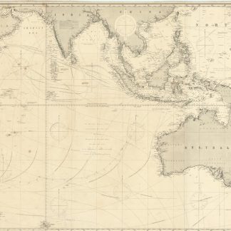
Indian Ocean.
Engraved map, ca. 103 x 192 cm. Constant ratio linear horizontal scale, approx. 1:10,000,000. Relief shown by hachures and spot heights. Depth shown by isolines and soundings.
€ 4.500,00
Large blue-backed hydrographic chart of the Indian Ocean, showing an area between the Cape of Good Hope and New Zealand. Extends north to include the Arabian and Indian peninsulas, Philippines, and much of China. Shows the Gulf coast as far north as Al-Latif, identifying "Abu Thabi" as the major settlement on the Trucial Coast. Includes courses of currents and standard tracks for shipping through the ocean, with nine inset maps of islands and coastal features (Cargados Carajos; Coetivy; Rodrigues; Wood Island; Farquhar Passage; Tromelin; Réunion; Saint Paul; Saint Denis).
Some browning and staining; a few edge and corner defects professionally repaired (minor corner loss to Cargados Carajos inset).
OCLC 884378574. Cf. Tooley II, 407.
Ähnlich
-
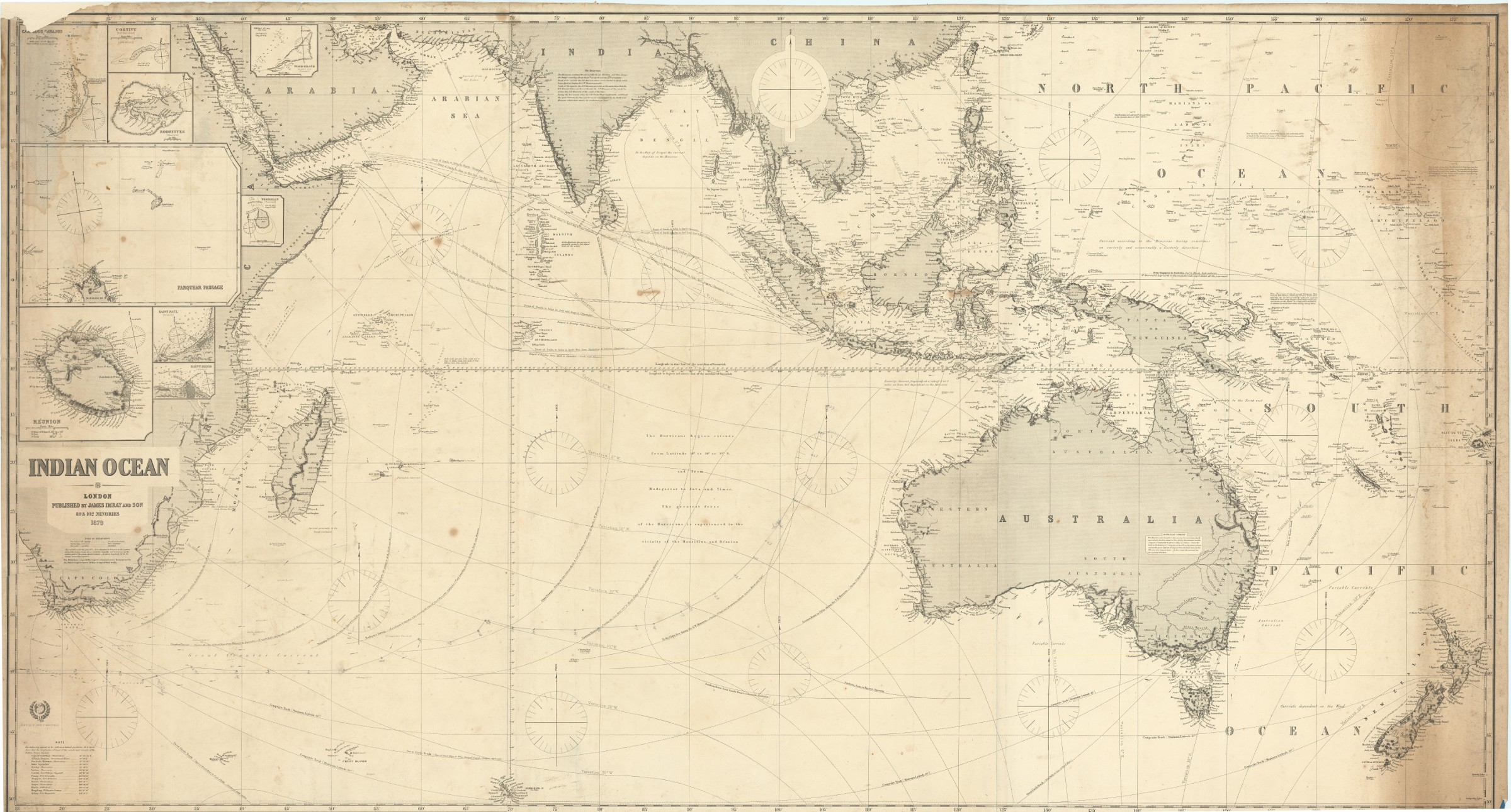
Asia. To Major James Rennell, Esqr. F.R.S. &c. &c. This Map is …London, 1801.
€ 12.500,00 -
![The First Booke of the Historie of the Discoverie and Conquest of the East Indias, Enterprised by the Portingales, in their Daungerous Navigations [...].](https://inlibris.com/wp-content/uploads/2021/08/img-bn56683-324x324.jpg)
The First Booke of the Historie of the Discoverie and Conquest of the East …London, 1582.
€ 85.000,00 -
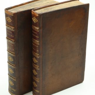
A New Account of the East Indies. Giving an exact and copious description …London, 1744.
€ 9.500,00 -
Karte von Asien.Wien, 1786.
€ 2.500,00