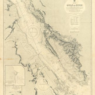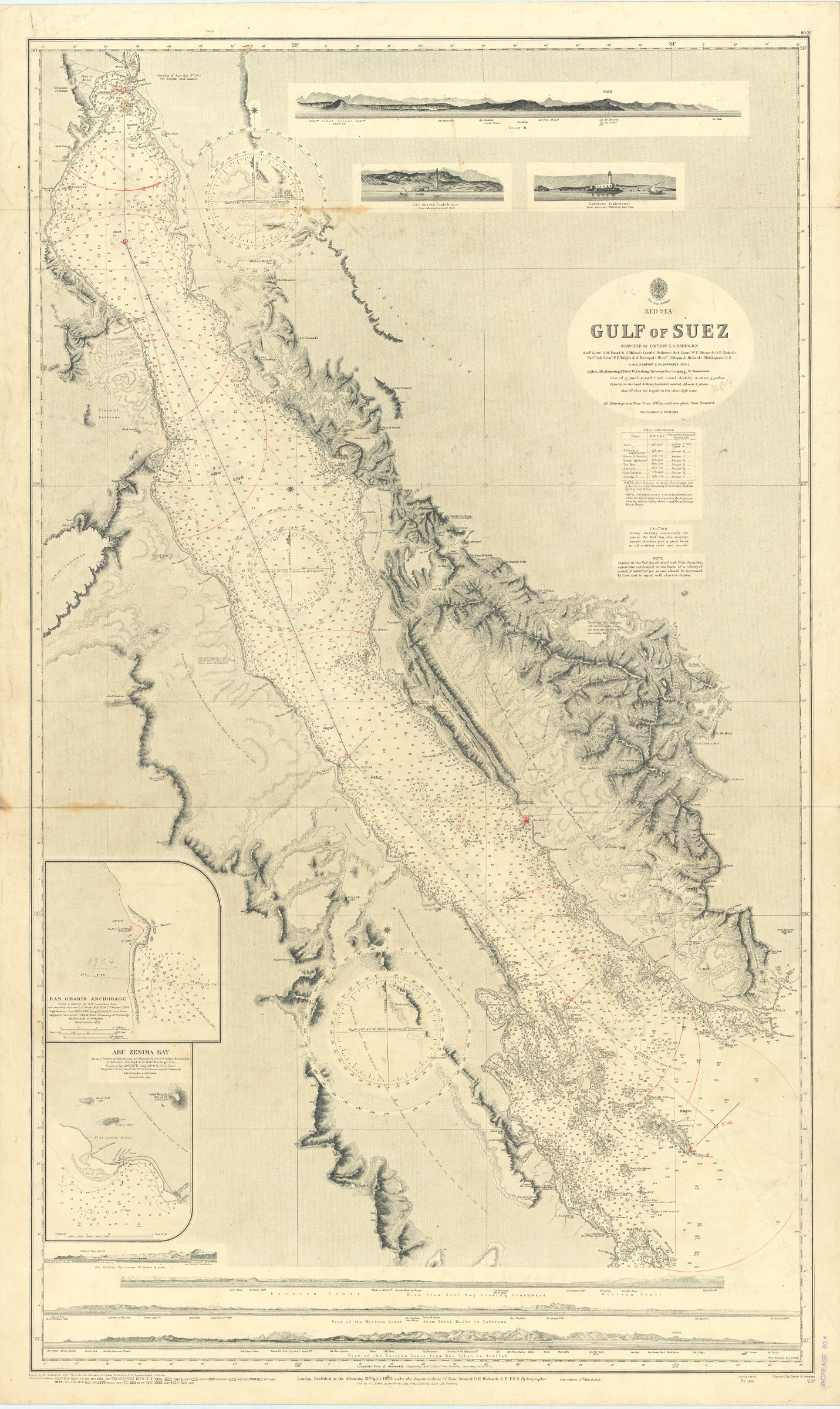
Gulf of Suez. No. 757.
Standard issue, 710 x 1160 mm.
€ 350,00
Nautical chart of the Gulf of Suez from Suez to the Strait of Jabal, prepared by the British Admiralty. With two inset maps of the Ras Gharib anchorage and Abu Zenima Bay, as well as views of the Zafara and Ras Gharib lighthouses and the Sinai mountains with Mount Catherine.
The chart shows the Bay of Suez with the ports of Ibrahim and Thewfik and the maritime canal, as well as the Atakah mountains, the Zafarana plain and Mount Sinai. Among the most prominent labelled cities are Suez, Zafara, Abu Zenima, Ras Gharib, and El Tor.
The British Admiralty has produced nautical charts since 1795 under the auspices of the United Kingdom Hydrographic Office (HO). Its main task was to provide the Royal Navy with navigational products and service, but since 1821 it has also sold charts to the public. The present chart was composed after Admiralty surveys of 1871-72; it was first published in 1873 and saw several corrections up to 1933.
With two folds. With a stamp "Increase 50%" near lower right corner. A few manuscript notes. Captioned in print and in a former collector's hand on verso. Faint marginal flaws, not touching image; somewhat spotted.
Ähnlich
-
Harbours and Anchorages in the Red Sea. No. 3047.London, 1921.
€ 1.500,00 -

Första Resa fran Cairo till Arabiska Öknen i April 1845. Fragment.Helsingfors Helsinki, 1853.
€ 9.500,00 -

Voyage en Arabie & en d'autres Pays circonvoisins. Tome premier (-second). …Amsterdam & Utrecht, 1775-1780.
€ 6.000,00 -
The Red Sea (in Five Sheets). Sheet I. No. 8a.London, 1931.
€ 1.000,00