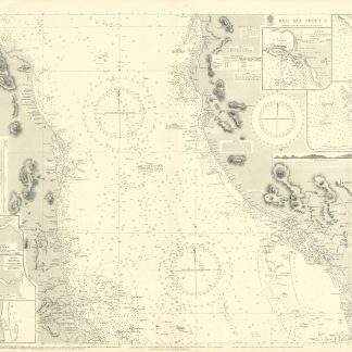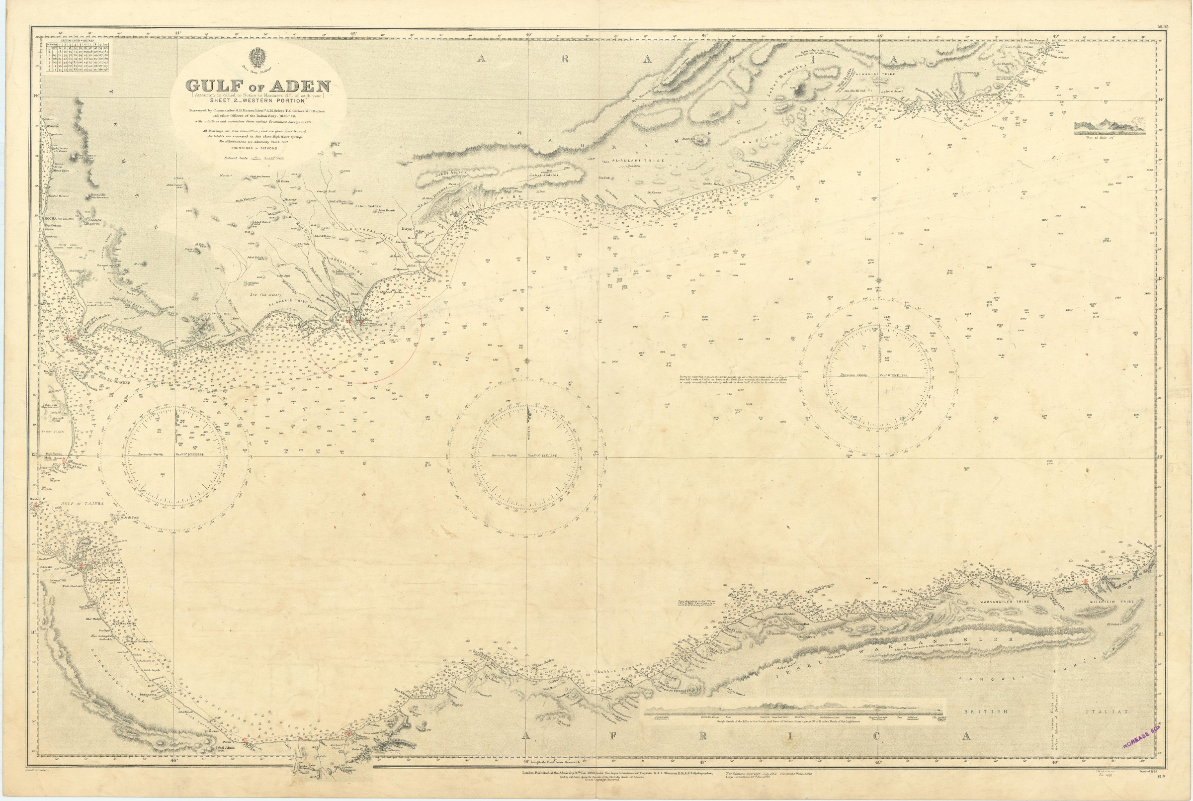
Gulf of Aden. Sheet 2. Western Portion. No. 6b.
Standard issue, 700 x 1025 mm. Constant ratio linear horizontal scale 1:800,000.
€ 300,00
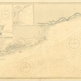
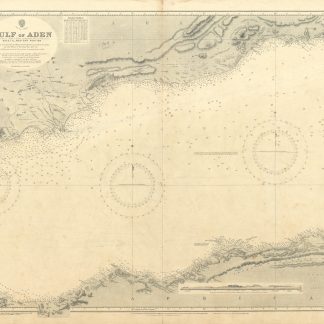
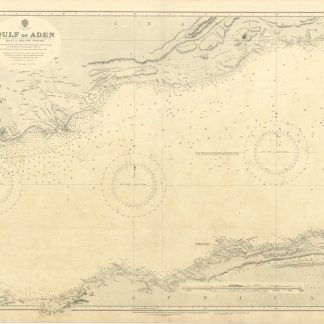
Nautical chart of the Gulf of Aden with the Arabian and African shoreline, prepared by the British Admiralty. With a small view of Ras-al-Kalb mountain. The chart details the Gulf from the Red Sea and the strait of Bab-el-Mandeb in the west to the cities of Burum in Arabia and Bander Báad in Africa in the east. It shows Perim Island, the Gulf of Tajura, mountains like Jebel Arar and Jebel Fadthli, as well as tribal areas. Among the most prominent labelled cities are Mokka, Aden, Balhaf, Zeila, Berbera, and Las Khoreh.
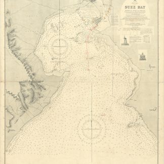
The British Admiralty has produced nautical charts since 1795 under the auspices of the United Kingdom Hydrographic Office (HO). Its main task was to provide the Royal Navy with navigational products and service, but since 1821 it has also sold charts to the public. The present chart was composed after Admiralty surveys of 1836-48 and 1911; it was first published in 1888 and saw several corrections up to 1934.
With a single fold. A few manuscript notes. With a stamp "Increase 50%" near lower right corner. Captioned in print and in a former collector's hand on verso. Slightly brownstained.