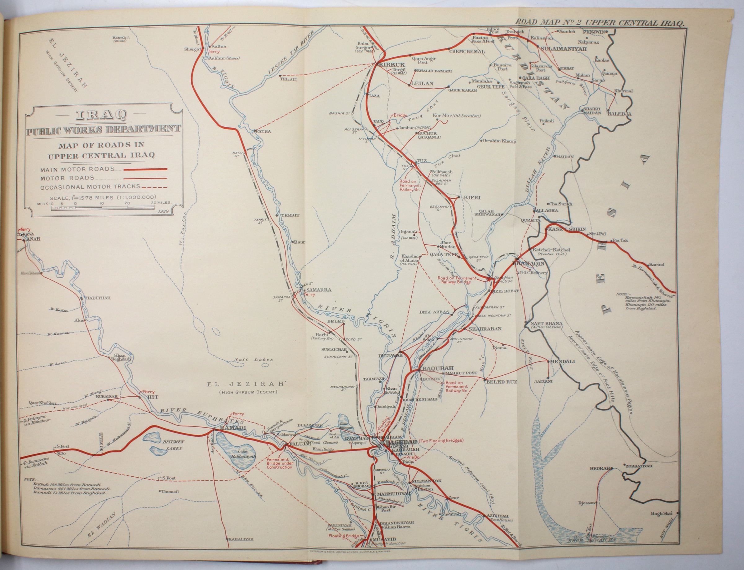
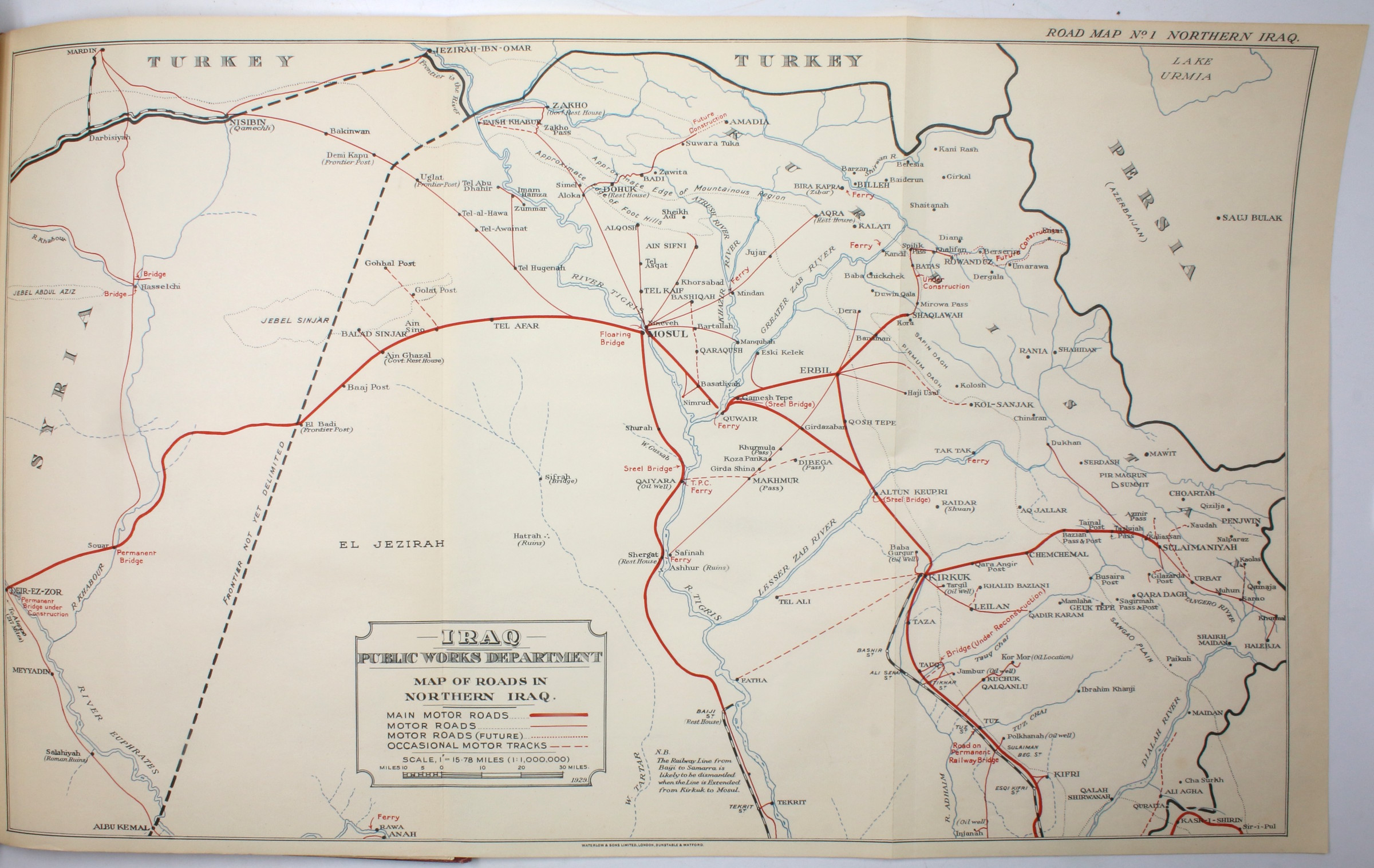
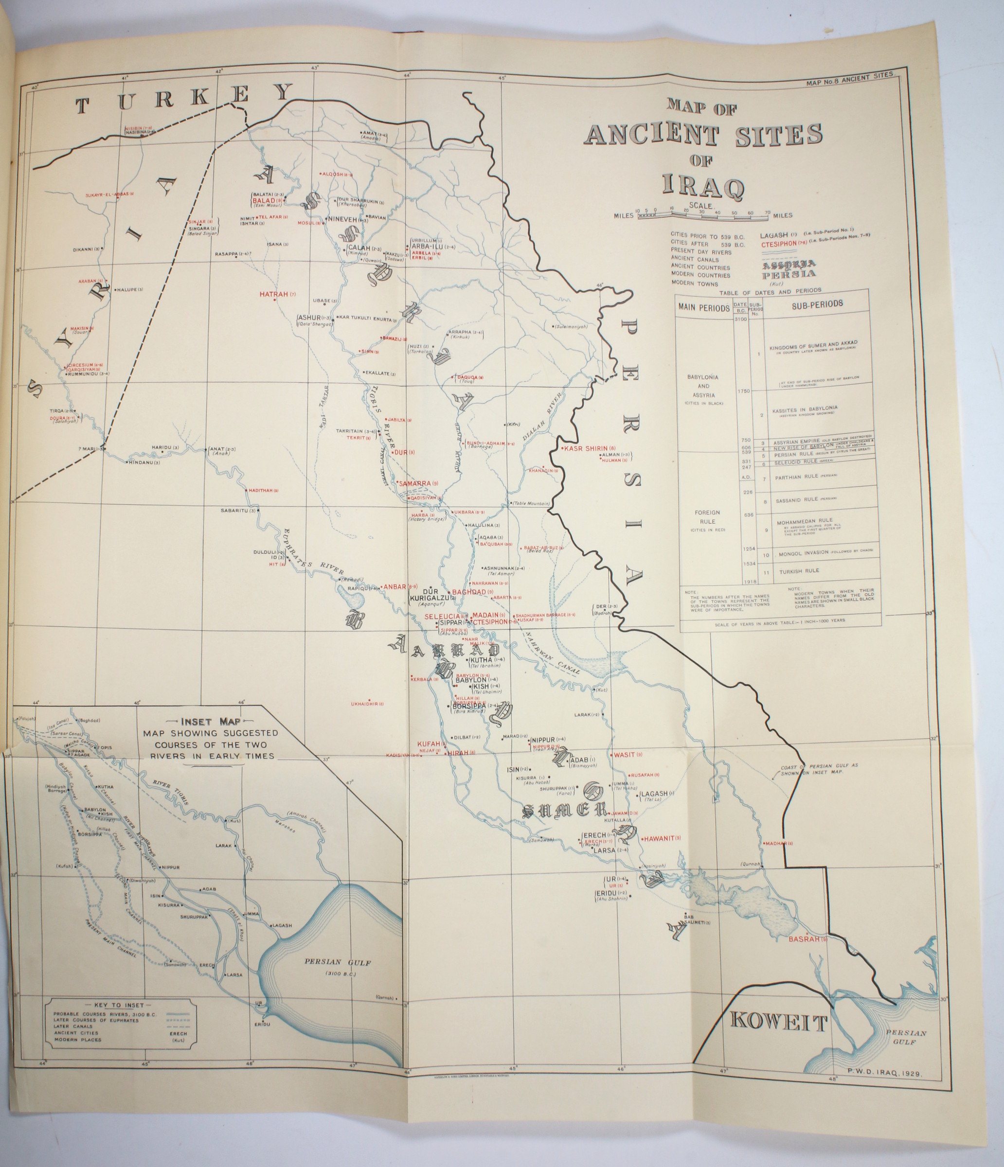
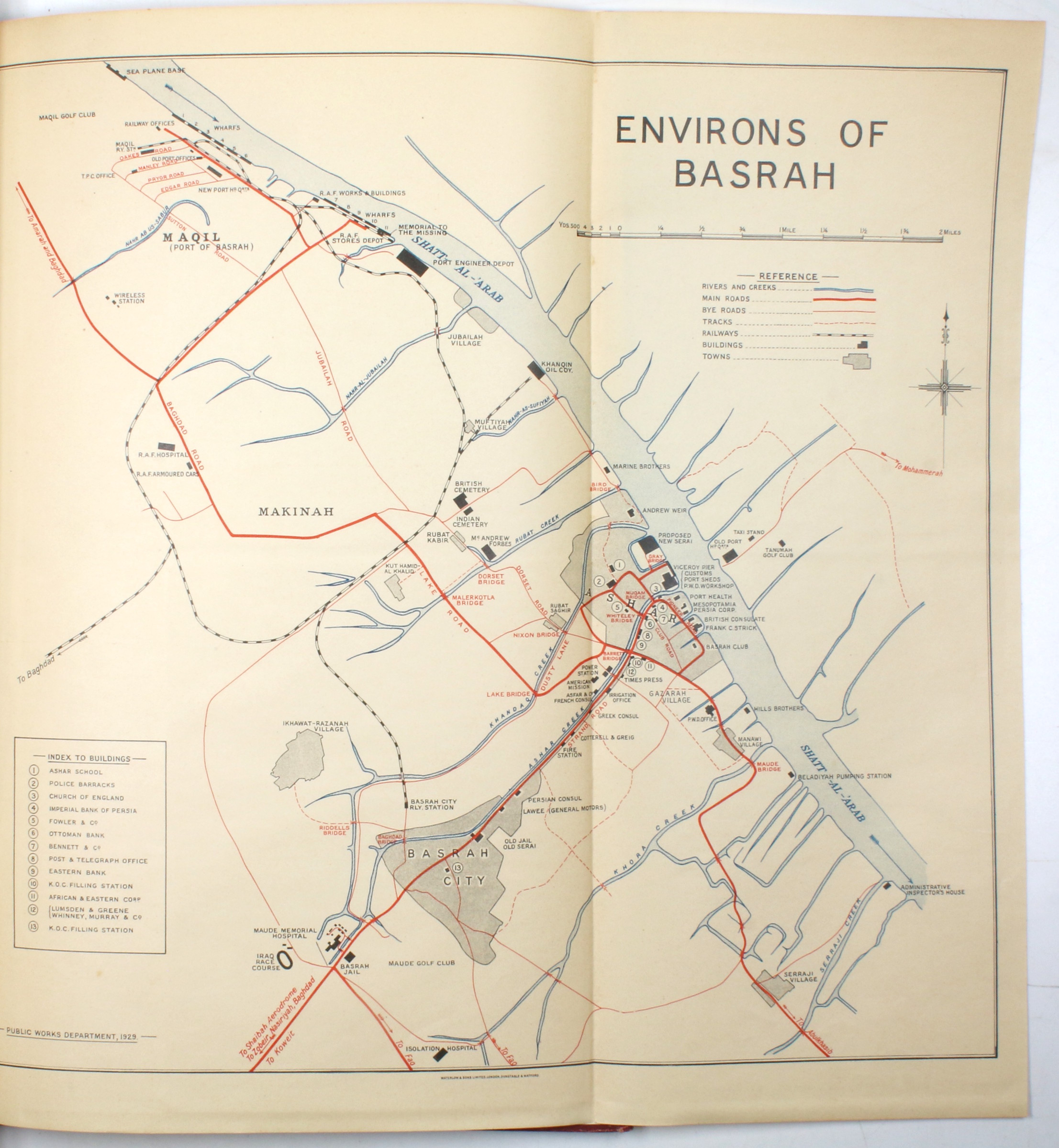
Archeologist Richard Francis Strong Starr's copy
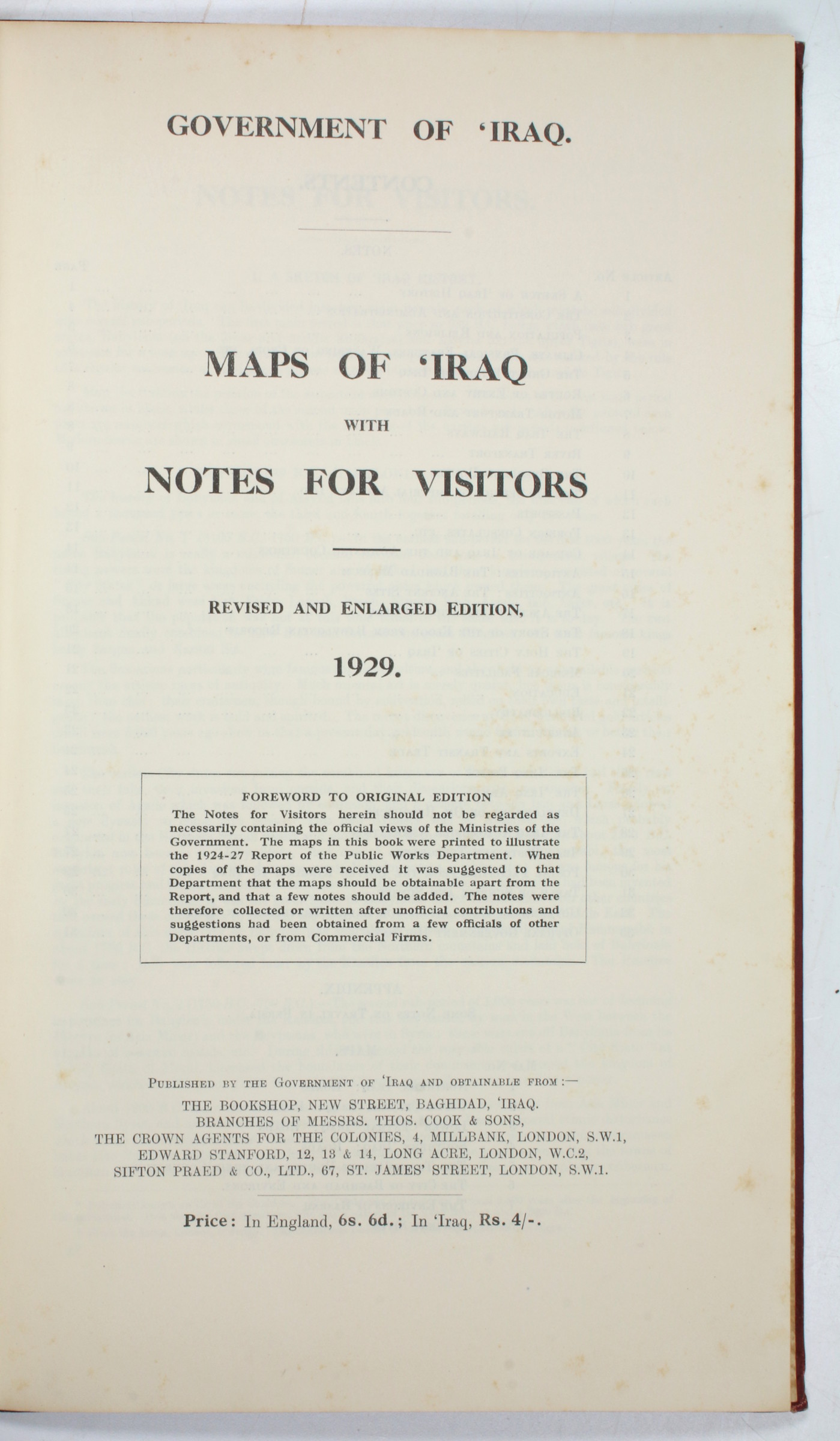
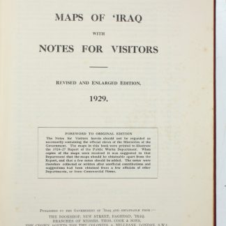
Maps of 'Iraq with Notes for Visitors.
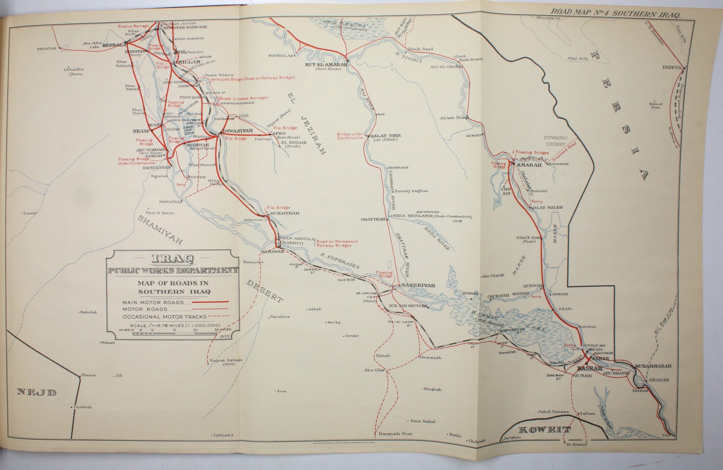
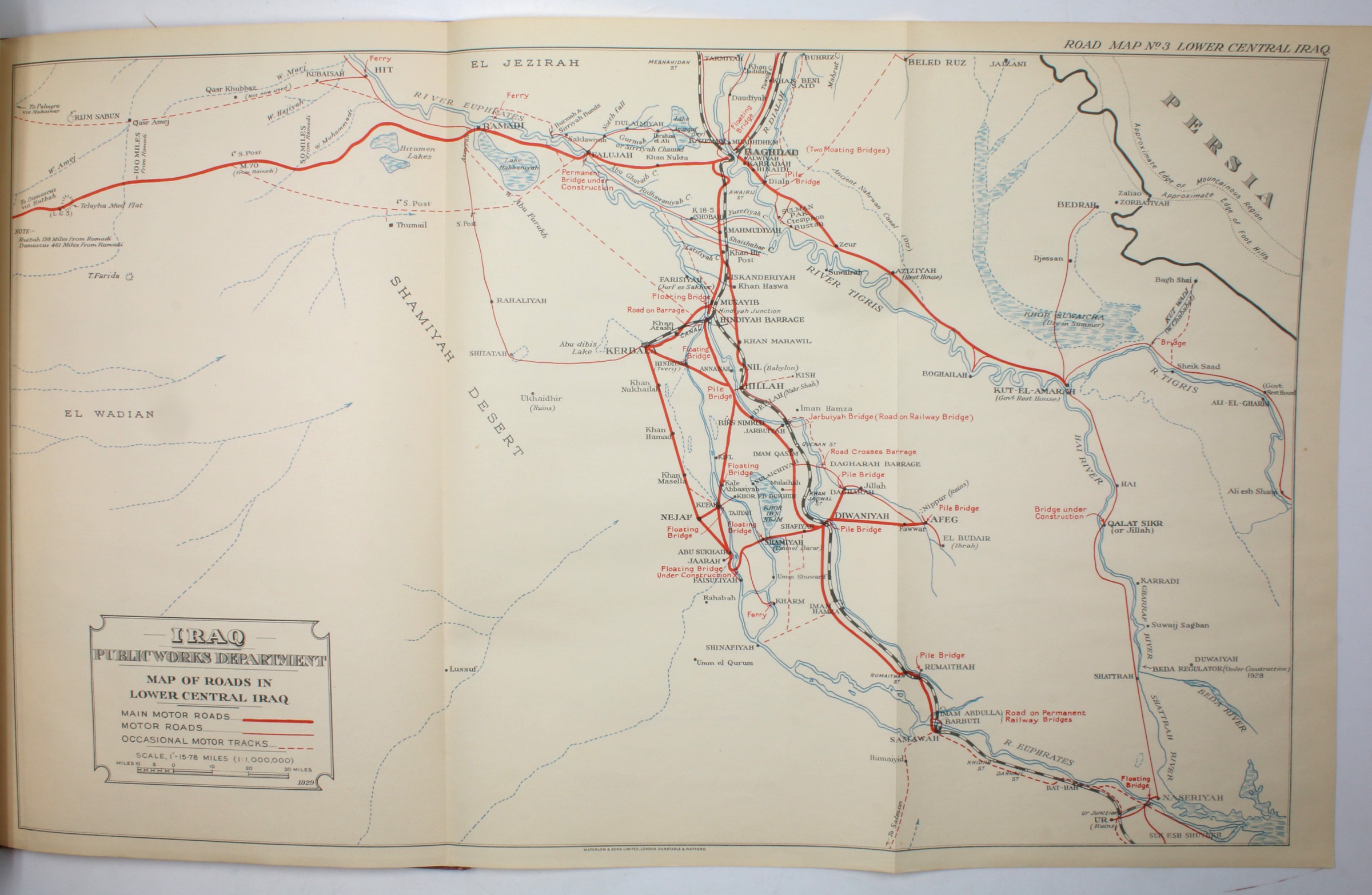
Folio (215 x 343 mm). 34 pp. With 8 folding maps printed in red, blue, and black, and a photographic frontispiece. Original red cloth titled in gilt.
€ 1.250,00
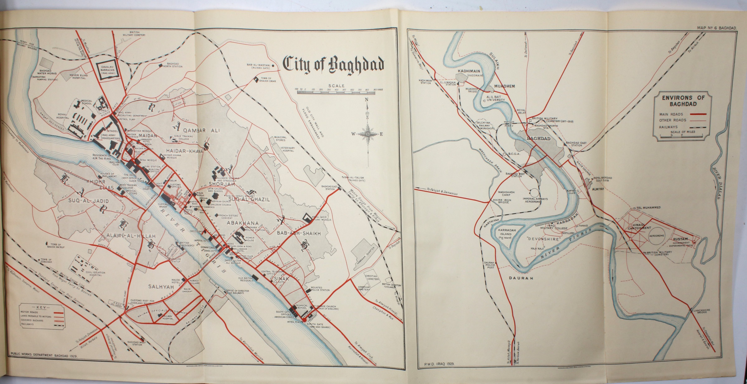
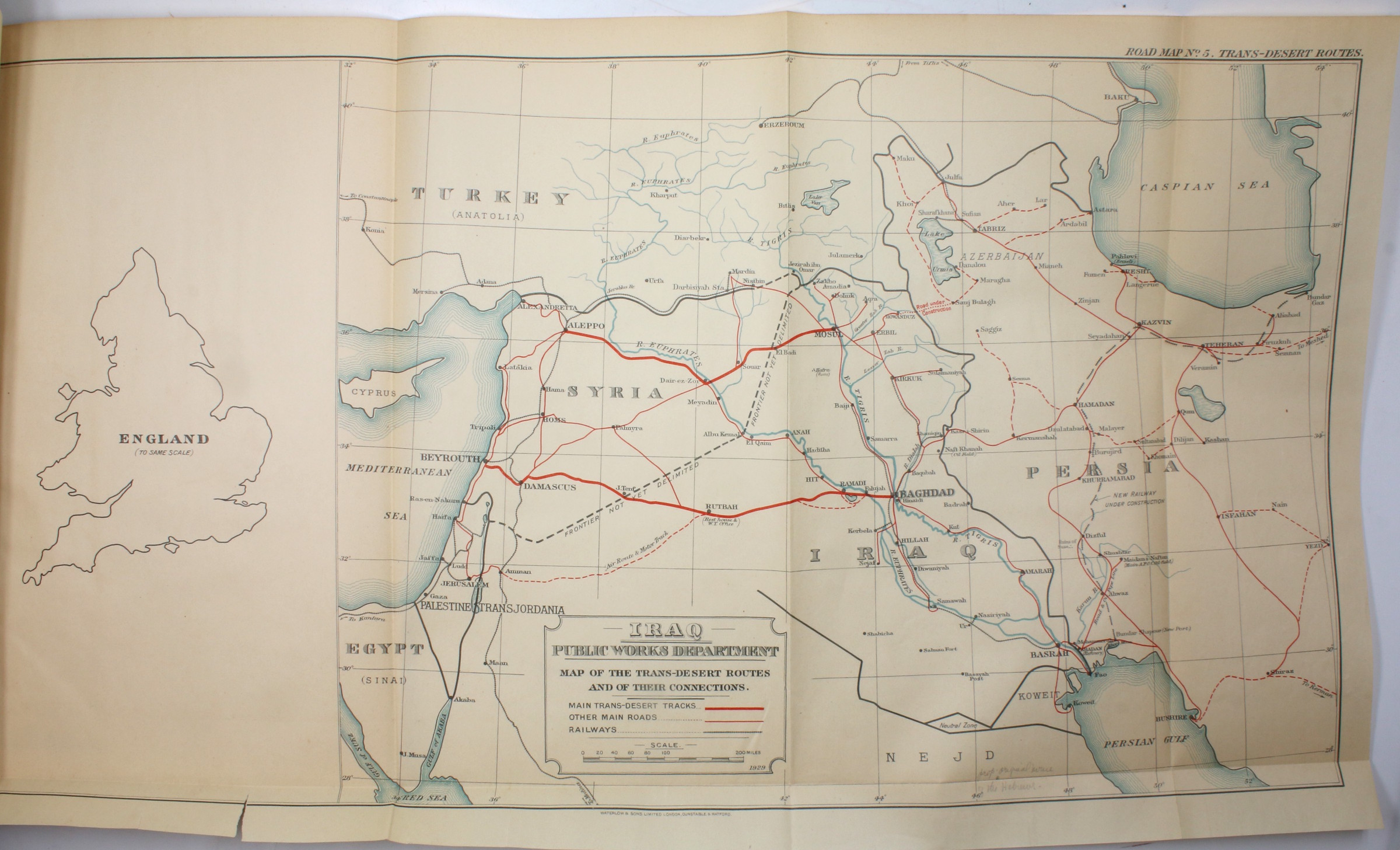
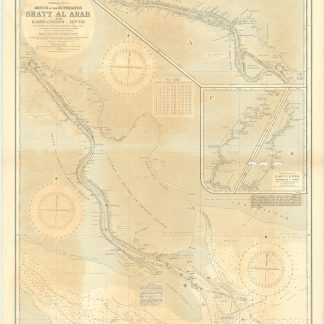
Eight handsome maps of Iraq published in a volume alongside information on the region gathered by the British after WWI, including climate, geography, the tribes of Iraq, and ancient sites, as well as information on passports, consulates, coinage, the police and army, the "Development of Oil Resources," and "Government Regulations for Ladies Travelling in 'Iraq" aimed at the influx of European visitors and business interests in the interwar period. The maps show Iraqi highways for the prospective motorist, the cities of Baghdad and Basra, ancient sites, and trans-desert routes. Here published in a revised and enlarged edition.
Previously owned by the famous American archaeologist Richard Francis Strong Starr (1900-94), as indicated by an ownership inscription reading "R. F. S. Starr" on the front free endpaper. Starr was a member of the initial Harvard-Baghdad School dig at Nuzi (also known as Yorghan Tepe), near Kirkuk in Iraq, and was director of operations there from 1929 to 1931. Among other findings, this expedition uncovered thousands of cuneiform tablets associated with the Horites, an ancient people mentioned in Biblical texts but previously unknown to archeology. The site at Nuzi appears on the map of ancient sites in this volume.
The Kingdom of Iraq under British Administration, or Mandatory Iraq, existed between 1921 and 1932, after Iraqi nationalist pressure pushed back against the proposed British Mandate of Mesopotamia. During the postwar phase in which Britain had large colonial Mandates in the Middle East, tourism became increasingly popular, and such publications came into demand.
This is a particularly good copy with all of its maps intact and in good condition, with only slight signs of wear.

