


Charts of essential Red Sea shipping lanes
Meteorological Charts of the Red Sea.
Large folio (340 x 555 mm). (6) pp. With 24 charts. Original publisher's morocco-grain limp cloth, title in gilt on front cover.
€ 4.500,00
First and only edition of this scarce meteorological atlas of the Red Sea with an excellent provenance; only 650 copies were printed, and only 15 are currently listed in institutions on OCLC. A hugely detailed scientific undertaking: much of the information collected here would have been of great military and commercial interest, and also quite relevant to British surveillance of the Red Sea, including traffic through the still relatively new Suez Canal and the movements of pilgrims to Mecca during the Hajj.
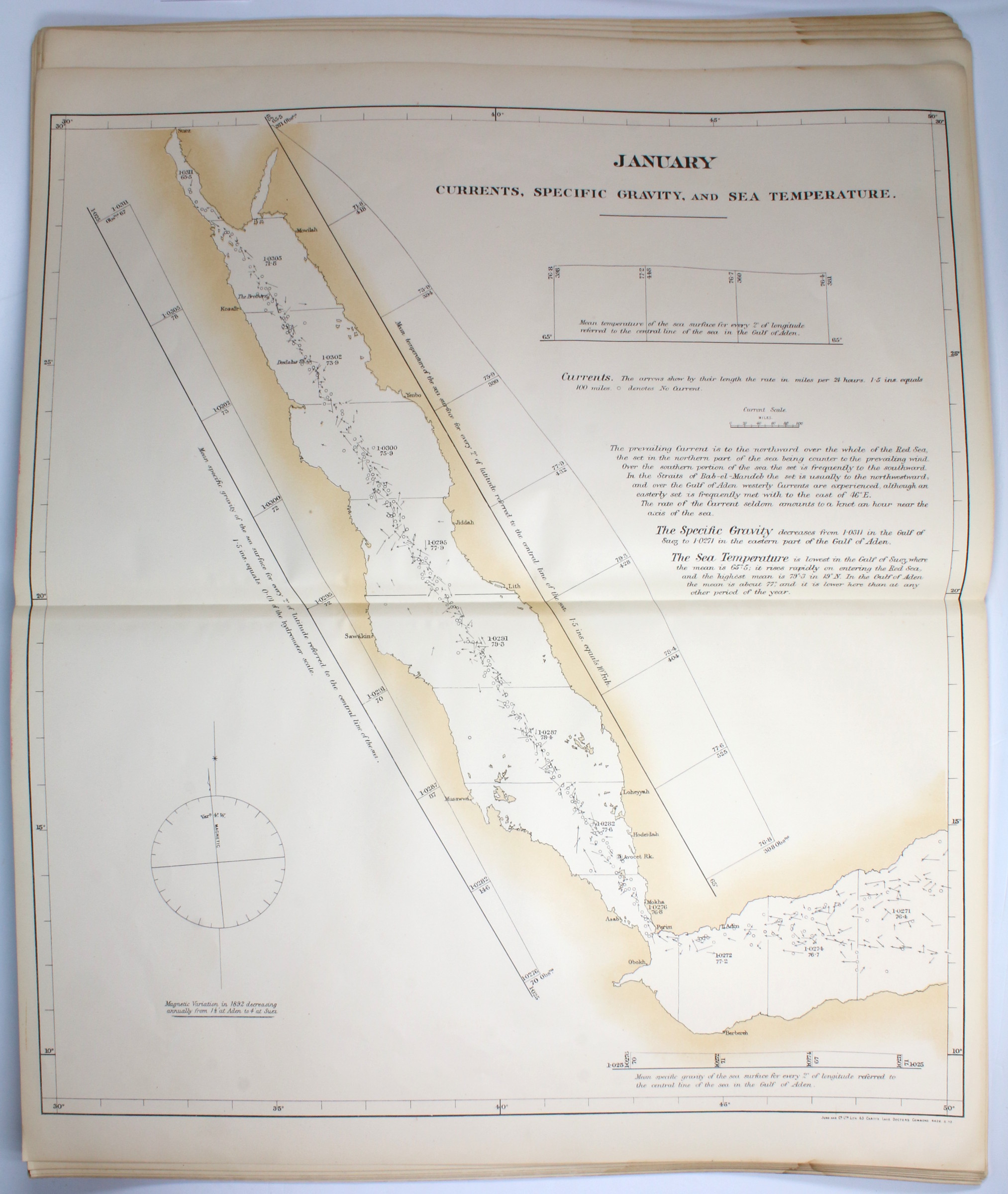
The charts were prepared from logs and observations made by the British Royal Navy, the Peninsular and Oriental Steam Navigation Company, and the Royal Meteorological Institute of the Netherlands at Utrecht. As Robert H. Scott, executive head of the Meteorological Office, notes in his preface, ''very few observations have been obtained prior to the opening of the Suez Canal in 1869 and nearly all the material [...] is of necessity from steamships which follow much the same track within very narrow limits". However, in certain cases further anecdotal evidence is included, such as an 1879 report by the H.M.S. Seagull, which describes a difficult approach to the port city of Jeddah, where she contended with shifting currents and winds.
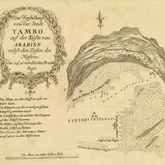
The charts are divided into two sections, "Winds" and "Currents", with each section covering twelve months each. Beyond their main subjects, the charts provide a wealth of related information on barometer readings, air temperature (both wet bulb and standard), sea temperature, and incidences of stormy weather and gales. The charts also name key ports along the Red Sea and especially along the Saudi Arabian coast, including Al Muwaileh, Yanbu, Jeddah, and Al Lith.
No copies traced in auction records. An uncommon and important maritime record of what is now perhaps the most important shipping lane in the world.
1) From William Haultain Milner (d. 1901), with the presentation label, "Presented by the Meteorological Council to Captain W. H. Milner, R.M.S. 'Para', as an Acknowledgement of his Valuable Meteorological Observations". The Para was a ship of the Royal Mail Steam Packet Company (1839-1930), commissioned in 1875.
2) With three small "British Museum (Natural History)" collection and deaccession stamps to the title-page and blank verso of the final chart. Milner was a regular donor, credited by the museum in 1896 for donating numerous samples gathered "with great zeal" from Cartagena and the midAtlantic.
Deaccessioned library copy, with small stamps and other subtle markings; in very good condition.
OCLC 17283647.
Ähnlich
-

Voyage en Arabie & en d'autres Pays circonvoisins. Tome premier (-second). …Amsterdam & Utrecht, 1775-1780.
€ 6.000,00 -

Reize naar Arabië en andere omliggende landen.Amsterdam & Utrecht, 1776-1780.
€ 6.000,00 -
The India Directory, or, directions for sailing to and from the East Indies, …London, 1826-1827.
€ 15.000,00 -
Begebenheiten einer Reise auf dem rothen Meer, auf der arabischen und ägyptischen …Leipzig, 1781.
€ 1.800,00