


Qatar's Inland Sea on the Saudi border, shortly before independence
Aerial survey photographs of Qatar.
18 black-and-white vertical aerial photographs, 235 x 243 mm. Each with date, approximate altitude, and run number included in-plate. Scale 1:46.000. Several with the stamp of Hunting Surveys on reverse. Stored in custom-made black card portfolio.
€ 8.500,00
A consecutive set of aerial photographs taken on 1 and 7 February 1971, shortly before independence, covering more than 700 square kilometres of Qatar's desert and coastline around the Inland Sea, one of Qatar’s most spectacular natural wonders on the south-eastern border to Saudi Arabia. In excellent detail, the black-and-white images pick out differences in the terrain, elevation and sea depth, in a manner that is both scientifically useful and visually striking.
Hunting Surveys, which also operated as Hunting Geology and Geophysics, was a British company that produced many early aerial views of the Gulf states, with their mid-1970s work recording the earliest years following independence from Britain when mapping via aerial photography was a vitally important task, with relevance for geological studies, natural resource prospecting, and border disputes.
After nearly 55 years of British dominance, Qatar became independent on 3 September 1971, and saw a period of rapid development.
A striking testimony to Qatar's natural beauty at a historic crossroads between British protectorate and independent state.
Some mild wear to edges, but photos clean and clear, overall in good condition.
Not in the NCAP.
Ähnlich
-
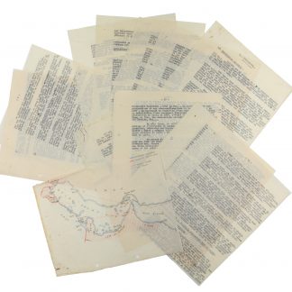
Original typescript compiled by French Middle East intelligence.Probably Beirut or Damascus, 1936.
€ 4.500,00 -
![Geographic Map of the Central Persian Gulf Quadrangle Kingdom of Saudi Arabia. Miscellaneous Geologic Investigations Map I-209 A [and] B.](https://inlibris.com/wp-content/uploads/2020/05/img-bn49619-324x324.jpg)
Geographic Map of the Central Persian Gulf Quadrangle Kingdom of Saudi …Washington, D.C., 1959-1961 CE = 1378-1380 H.
€ 9.500,00 -
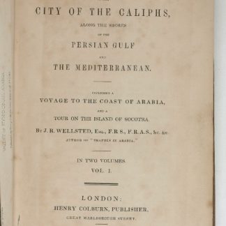
Travels to the City of the Caliphs, along the Shores of the Persian Gulf …London, 1840.
€ 6.000,00 -
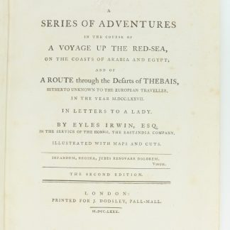
A Series of Adventures in the Course of a Voyage up the Red-Sea, on the …London, 1780.
€ 12.500,00
