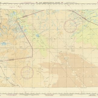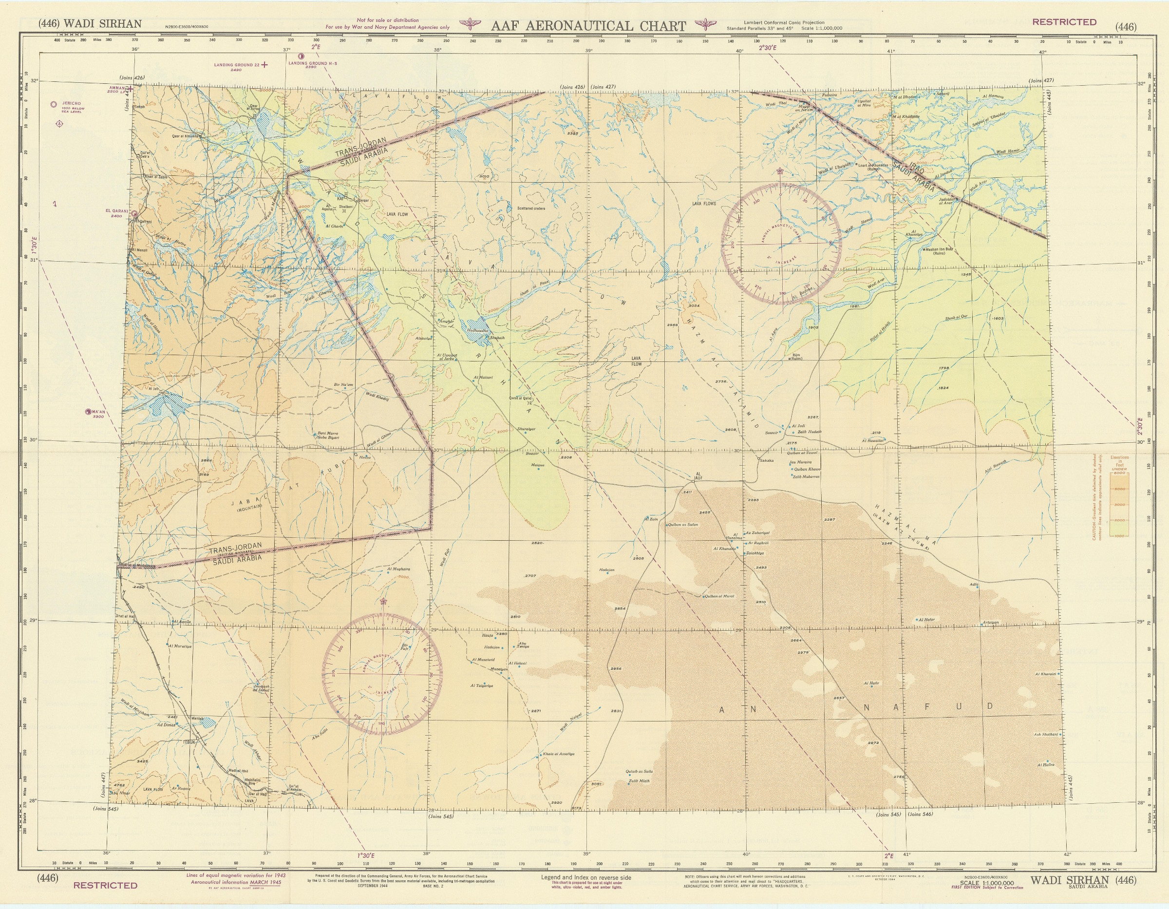
USAF aeronautical chart and information service. World aeronautical chart (446) Wadi Sirhan.
Washington, D.C., AAF Aeronautical Chart Service, 1945.
Colour-printed map, 730 x 560 mm. Scale 1:1,000,000. On verso: legend, aeronautical information, and index map.
€ 750,00
First edition. Pilot's map of Wadi Sirhan in the border region of Iraq, Saudi Arabia and Transjordan. It shows international boundaries populated places, roads and tracks, railways, wireless telegraph stations, forts, wadis, wells, vegetation and terrain features. Shows also parts of Transjordan and Iraq, including the zigzagging border between Saudi Arabia and Transjordan.
In excellent condition.
Ähnlich
-

Neue Reise in Arabien, die europäische und asiatische Türkey. Nach dem …Leipzig, 1814.
€ 2.500,00 -

R.A.F. 1:500,000 / 1:1,000,000 aeronautical charts.London, 1951-1953.
€ 4.500,00 -

The complete series of the first 200 works issued by the Hakluyt Society.London, 1847-1958.
€ 165.000,00 -

A Series of Adventures in the Course of a Voyage up the Red-Sea, on the …London, 1780.
€ 12.500,00