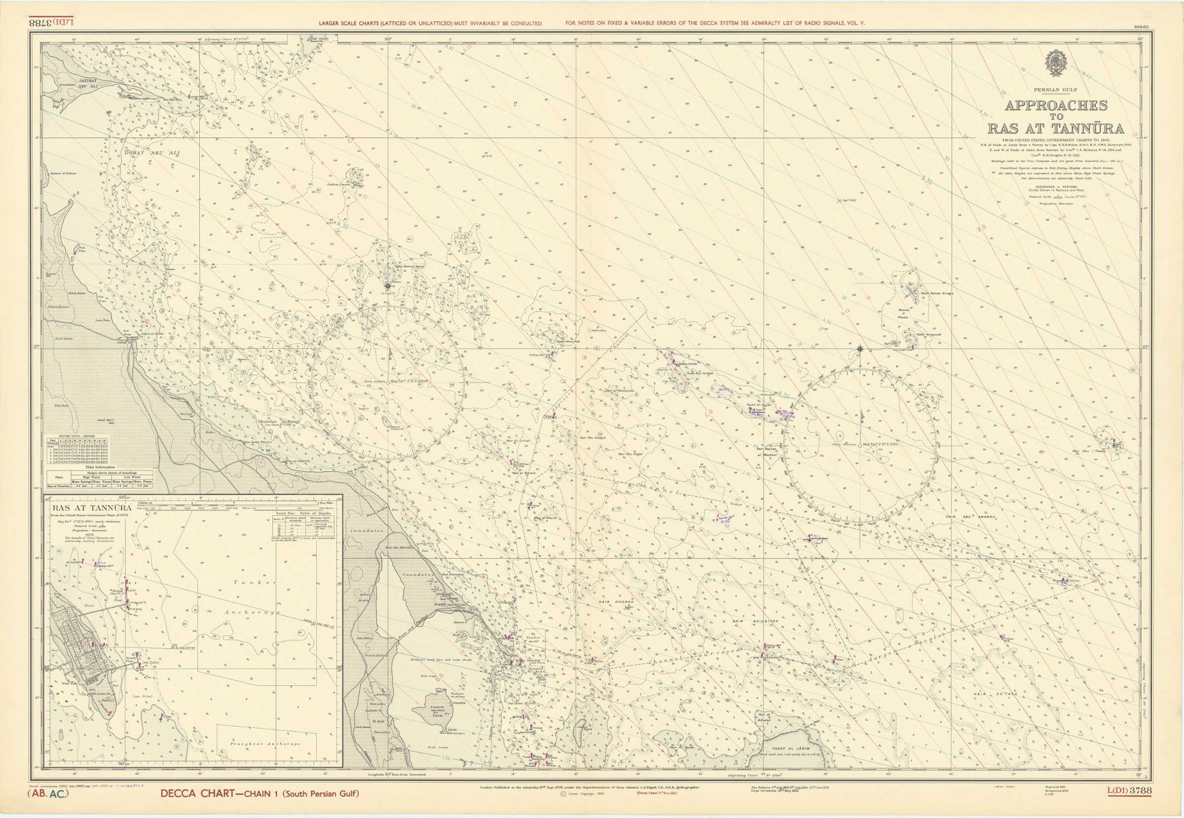
Persian Gulf. Approaches to Ras at Tannura. From United States Government Charts to 1959. L (D1) 3788.
London, published at the Admiralty, 1963/1964.
1040 x 710 mm. Scale 1:150,000.
€ 1,000.00
Nautical chart of the Arabian Gulf off the coast of Ras Tanura on the north-eastern coast of the Arabian Peninsula. Including tidal information, compass roses, soundings, seabed notations, currents, sandbanks, shoals, inland elevations. This edition first published in 1951, re-engraved in 1958, with revisions in 1962, 1963 and (overstamped or handwritten) 1964.
Folded; very well preserved. Provenance: from the archives of Lilley & Reynolds Ltd., suppliers of Navigation Equipment.
Related
-

United Arab Emirates Abu Dhabi. Mina Zayed Tariff Rules.Abu Dhabi, 1970s.
€ 650.00 -
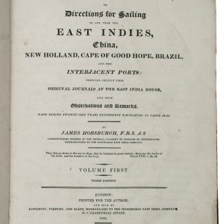
The India Directory, or, directions for sailing to and from the East Indies, …London, 1826-1827.
€ 15,000.00 -
![Approaches to Mina Sulman including [Khor Kaliya &] Sitra Anchorage (3792).](https://inlibris.com/wp-content/uploads/2022/03/img-bn57382-324x324.jpg)
Approaches to Mina Sulman including [Khor Kaliya &] Sitra Anchorage …London, 1951-1965.
€ 1,800.00 -

Persian Gulf. ONC-H-6/7. Operational navigation chart.St. Louis, 1967.
€ 1,500.00