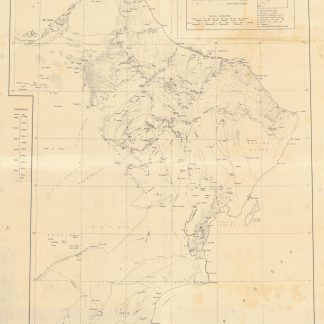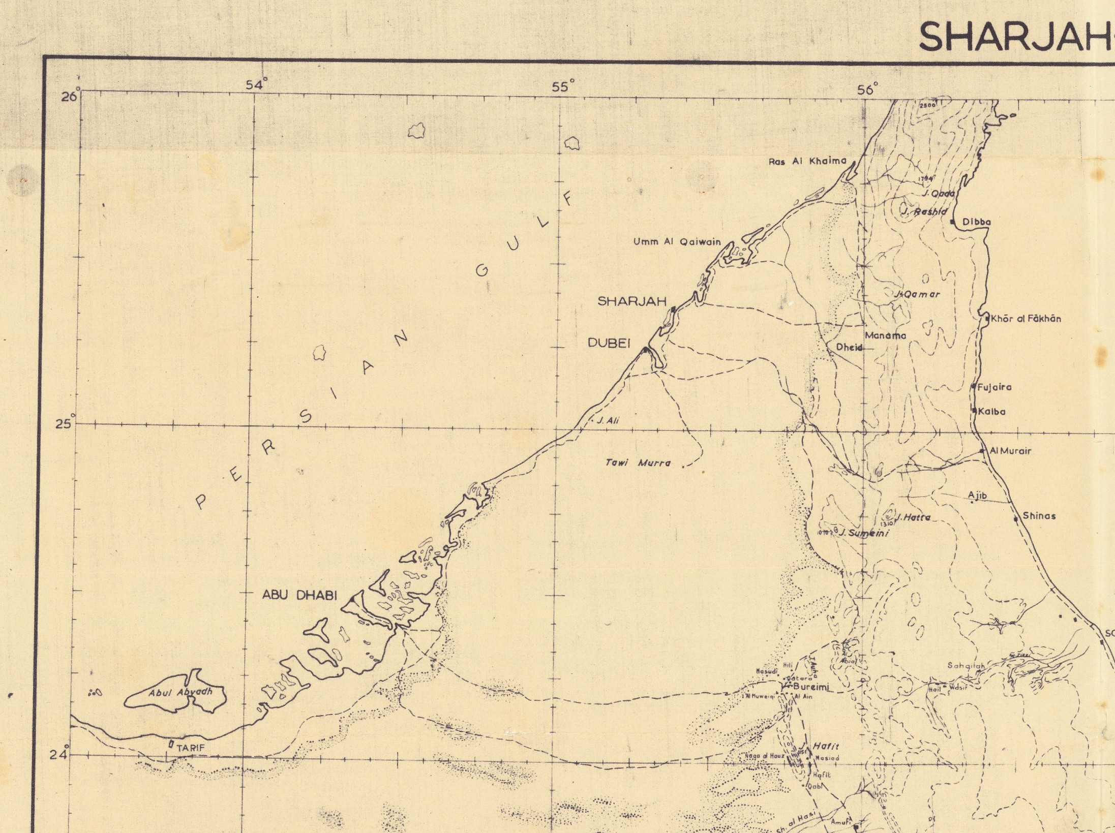
The only known copy
Sharjah - Salala.
Diazoprint map, 111.5 x 75.4 cm. Scale 1:1,000,000. Folded.
€ 8,500.00
Highly detailed map of the Arabian Peninsula's coast from Abu Dhabi (Abu Al Abyad island) and Ras al-Khaimah in today's United Arab Emirates to Ras al-Hadd and south to Salala in Dhofar, Oman. The legend identifies wells, towns and villages, wadis, scarps, edges of sand, quicksand, and tracks. Political boundaries are omitted. The latest surveys incorporated are those undertaken by Nick Fallon, Douglas Michael Morton and René Wetzel in the mid- and later 1950s, suggesting that the present map - identified as "TP_773 (Revised)" in the lower left corner but not traced in any institutional collection worldwide - was one of a very small number produced for the internal use of a geological exploration team in the 1960s, when the first discoveries of oil in commercial quantities intensified exploration efforts both in the soon-to-be-independent Trucial States and in Oman.
Light staining and wear; a few minor tears professionally repaired.
Related
-
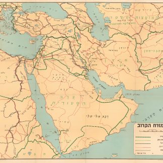
Ha-mizrah ha-karov (The Near East).Tel Aviv, 1958.
€ 3,500.00 -

Carte de l’Empire Ottoman comprenant les possessions de la Porte en Europe, …Paris, 1825.
€ 3,000.00 -
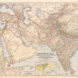
Southwest Asia, India, Pakistan, and Northeast Africa.Washington, DC, 1952.
€ 850.00 -

Reize naar Arabië en andere omliggende landen.Amsterdam & Utrecht, 1776-1780.
€ 6,000.00