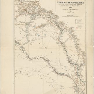
Syrien und Mesopotamien zur Darstellung der Reise des Dr. Max Freiherrn von Oppenheim vom Mittelmeere zum Persischen Golf, 1893. II. Öestliches Blatt.
Berlin, Dietrich Reimer (Ernst Vohsen), 1915.
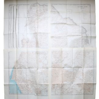
Colour-printed map. Ca. 92 x 70 cm. Constant ratio linear horizontal scale 1:850,000. Relief shown by hachures and spot heights.
€ 250.00
German map of Mesopotamia printed during the early years of the First World War, showing the travel route of Max Oppenheim during his 1893-94 journey from Cairo through the Syrian desert and Mesopotamia to Basra. Eastern sheet, reaching from Diyarbakir in south-eastern Anatolia to Kerbala and Babylon in Iraq. Includes populated places, roads, and trails, with the railways updated to 1915.
Folded; a few edge tears. Formerly in the collections of the Geographical Institute of the University of Berlin with their stamps and shelfmarks. Well preserved.
References
OCLC 179717182.
Related
-
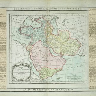
Perse, Turquie Asiatique et Arabie.Paris, 1799.
€ 450.00 -
Neue Reise in Arabien, die europäische und asiatische Türkey. Nach dem …Leipzig, 1814.
€ 2,500.00 -
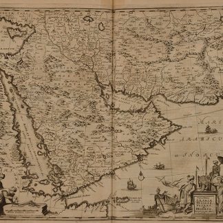
Umbständliche und eigentliche Beschreibung von Asia: In sich haltend die …Nuremberg, 1681.
€ 6,000.00 -
Northern Arabia according to the original investigations of Alois Musil …New York, 1926.
€ 3,500.00