
Cairo. GSGS 4084. Sheet 2.
Washington, D.C., Army Map Service, 1943.
965 x 710 mm. Scale 1:500,000.
€ 500.00
Second edition. Map of Lake Burullus in the north to Lake Moeris in the south, and from Samaket Gaballa in the west to Ruweisat Ridge in the east. Includes camel routes, telegraph lines along roads, airfields, etc., as well as a list of permanent water supplies - In excellent condition.
Related
-
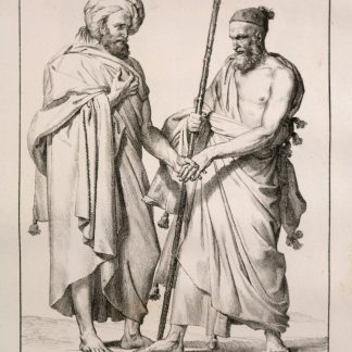
Voyage dans le Levant en 1817 et 1818.Paris, 1819.
€ 35,000.00 -
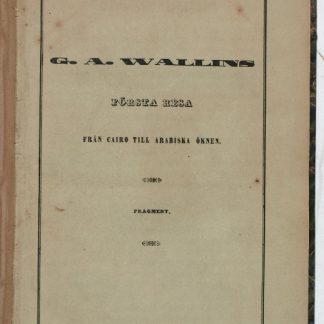
Första Resa fran Cairo till Arabiska Öknen i April 1845. Fragment.Helsingfors Helsinki, 1853.
€ 9,500.00 -
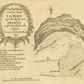
Begebenheiten einer Reise auf dem rothen Meer, auf der arabischen und ägyptischen …Leipzig, 1781.
€ 1,800.00 -

Reize naar Arabië en andere omliggende landen.Amsterdam & Utrecht, 1776-1780.
€ 6,000.00
