Mapping the final years of the Ottoman Empire
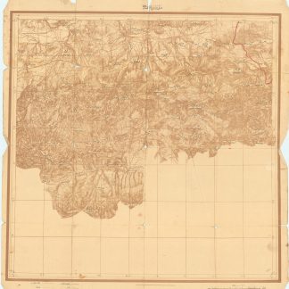
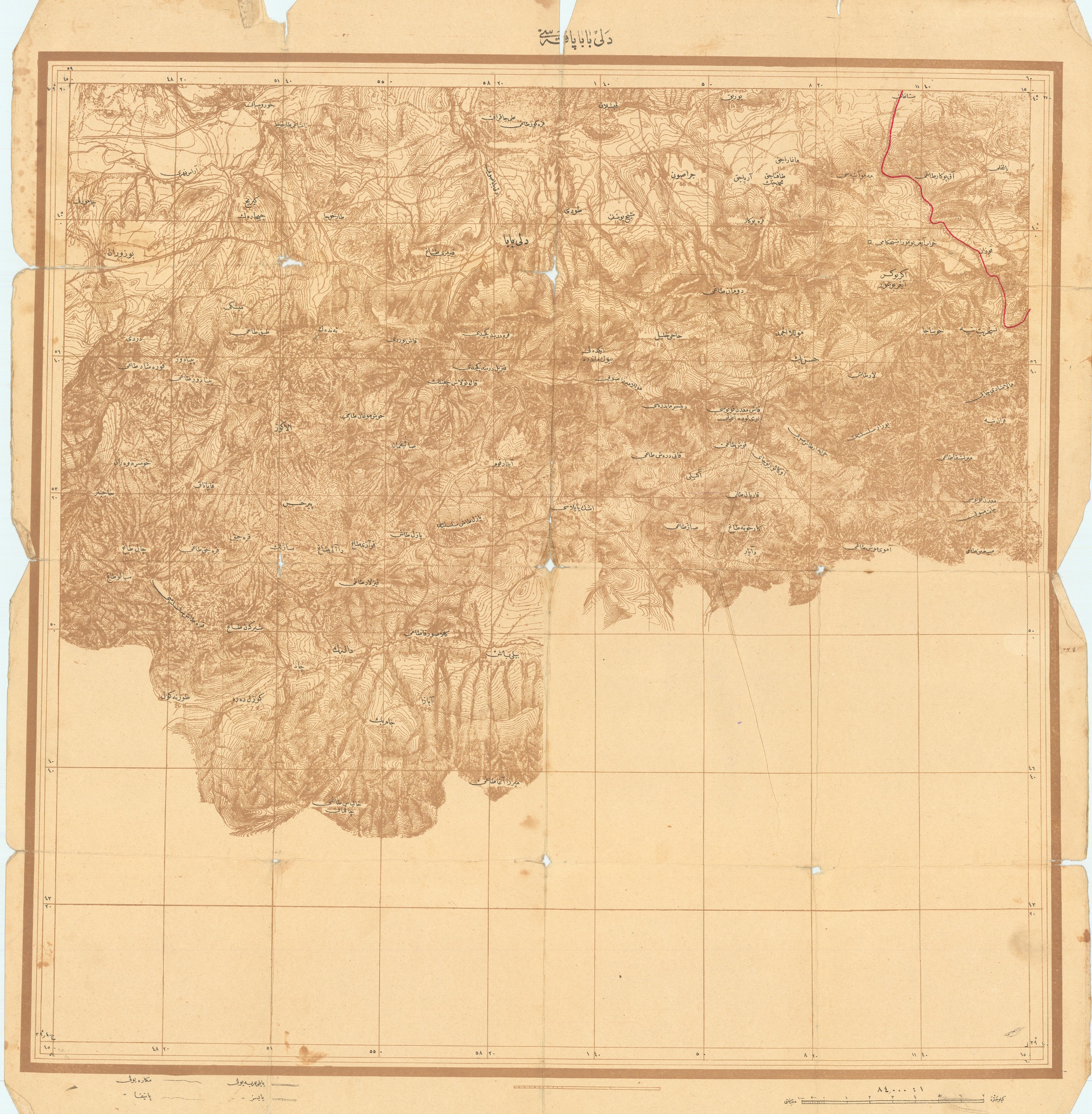
Collection of maps from Ottoman Turkey.
10 chromolithographed maps printed in duotone, ranging from 680 x 500 mm to 595 x 494 mm.
€ 250.00
Ten detailed topographical Ottoman maps labelled in Ottoman Turkish, illustrating parts of the Empire, including Istanbul and Western Turkey. Most maps were produced just before and after WWI, and document the final days of the Ottoman Empire just prior to the sweeping changes of the postwar period, including the dissolution of the Empire itself. Each map is quite detailed, and most focus heavily on the topography and terrain, with numerous landmarks, cities, villages, and lakes meticulously documented, along with internal and external borders.
Some wear along folds occasionally resulting in minor loss to maps; a few panels detached. An interesting record of the final Ottoman years in West Asia.
Related
-
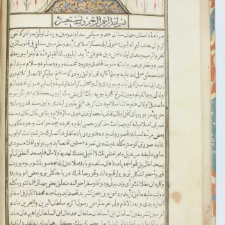
Tuhfet ül-kibar fi esfar il-bihar.Qustantaniyah Constantinople, Istanbul, 1729 CE = 1141 H.
€ 28,000.00 -

Första Resa fran Cairo till Arabiska Öknen i April 1845. Fragment.Helsingfors Helsinki, 1853.
€ 9,500.00 -
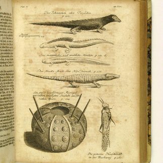
Reisen oder Anmerkungen verschiedene Theile der Barbarey und der Levante …Leipzig, 1765.
€ 2,000.00 -

Voyage en Arabie & en d'autres Pays circonvoisins. Tome premier (-second). …Amsterdam & Utrecht, 1775-1780.
€ 6,000.00