


The earliest mapping of the Union: the only surviving set of the original aerial survey of the UAE
United Arab Emirates - vertical aerial photography.
117 black and white vertical aerial photographs, 254 x 240 mm. Each with date, approximate altitude, and run number included in-plate. Several with the stamp of Hunting Surveys on reverse. Stored in a custom-made black half-morocco portolio with gilt title to spine.
Unrecorded and unpublished: the original photographs of the hitherto most detailed aerial survey of the Emirates, carried out in the first five years after the foundation of the Union. Of the utmost importance not only as an early topographical study but also a founding document of the Union itself, and likely instrumental during the border dispute settled with neighbouring Oman and Saudi Arabia in 1976.
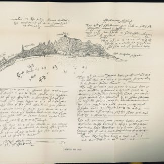
This is the unique, only surviving set on which cartographers have occasionally inked over and otherwise made note of various features to reproduce: the branches of wadis and the elevation of mountains, as well as a pencilled note in Arabic on the scale of the photos (approximated at 1:49,000) and hand-drawn reference points and grid boxes.
The collection comprises over one hundred original vertical aerial photographs of Abu Dhabi and further regions of the United Arab Emirates by a specialist contractor, Hunting Geology, who stated in a 1977 press release that the aim of the photography and mapping project was "to investigate mineral deposits throughout the Emirates". The first stage of the project is preserved here, and its unpublished photographs themselves contain a wealth not only of geological knowledge, but also of the infrastructure and environmental development of the UAE in its first decade. They would go on to be used to draw up maps, the chief of which was titled "Geological Map of the Emirates" and is still commonly cited and adapted in modern geological studies; another focused on the geology of the Al-Ain region in far Eastern Abu Dhabi, on the border with Oman.
The photographs, taken between 1975 and 1978 by Hunting's own fleet of specialized aircraft, bear witness to the great expanse of the Emirati landscape, with particular attention paid to the mountainous zones near the disputed border with Oman. The series features several sorties from 1975 to 1977, marked "HSL UAE", and a sub-series specifically focused on Abu Dhabi, marked "HSL Abu Dhabi" and photographed in 1976. The regions covered likely include Al-Ain and the Oman border, one photograph of a port on the Gulf coast which has since been remodeled, and include key documentation of towns and the highway system.
No copies are held in England's National Collection of Aerial Photography (NCAP), whose collection includes no Hunting or any UAE photography from the crucial years of the 1970s. Later copies were published by Hunting, but these early originals were solely for internal use.
Occasional light wear as expected on unique working copies, with pinholes, rare marginal chipping, and several instances of hand-drawn ink marks as described. Exceptionally well preserved.
Related
-

Carte de l’Empire Ottoman comprenant les possessions de la Porte en Europe, …Paris, 1825.
€ 3,000.00 -
The Geographical Journal. Vol. IV, No. 2.London, 1894.
€ 500.00 -
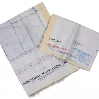
Persian Gulf. ONC-H-6/7. Operational navigation chart.St. Louis, 1969.
€ 2,800.00 -

Reize naar Arabië en andere omliggende landen.Amsterdam & Utrecht, 1776-1780.
€ 6,000.00