
A New and Accurate Map of Anatolia or Asia Minor with Syria and such other Provinces of the Turkish Empire as border thereupon [...].
Engraved map, 344 x 423 mm (sheet dimensions 375 x 485 mm). With ornamental cartouche.
€ 400.00
Detailed map of Anatolia, removed from Bowen's world atlas "A Complete System of Geography" (1747). Emanuel Bowen (ca. 1694-1767) created some of the finest and visually most satisfying maps of the century. The present map shows the Asian part of Turkey bordered by the Black Sea to the north and the Mediterranean to the west and south, along with portions of Syria, Persia, Armenia, Kurdistan and the governments of Mosul and Baghdad. Includes the island of Cyprus with Paphos, Nicosia, and additional place names. Rich in detail, the chart labels numerous towns and settlements including Constantinople, Bursa, and Smyrna, as well as mountains, lakes, rivers, tracks and ruins.
Very well preserved.
OCLC 646215930.
Related
-
Papers relating to the modern history and recent progress of Levantine …London, 1879.
€ 4,500.00 -
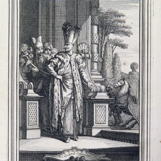
Voyage dans le Levant en 1817 et 1818.Paris, 1819.
€ 35,000.00 -
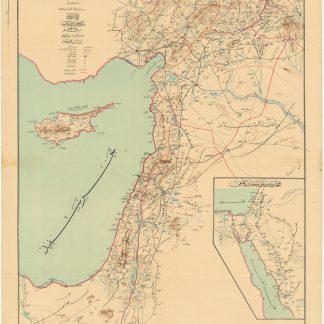
Road and rail map of Syria and Lebanon.Ottoman, 1911 CE = 1327 Rumi.
€ 3,500.00 -
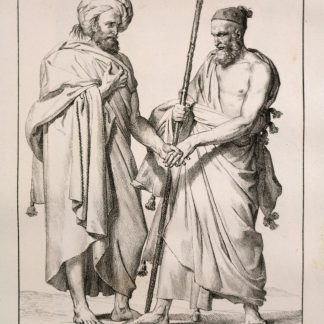
Moeurs et usages des Turcs, leur religion, leur gouvernement civil, militaire, …Paris, 1746-1747.
€ 6,500.00
