The Wardington copy
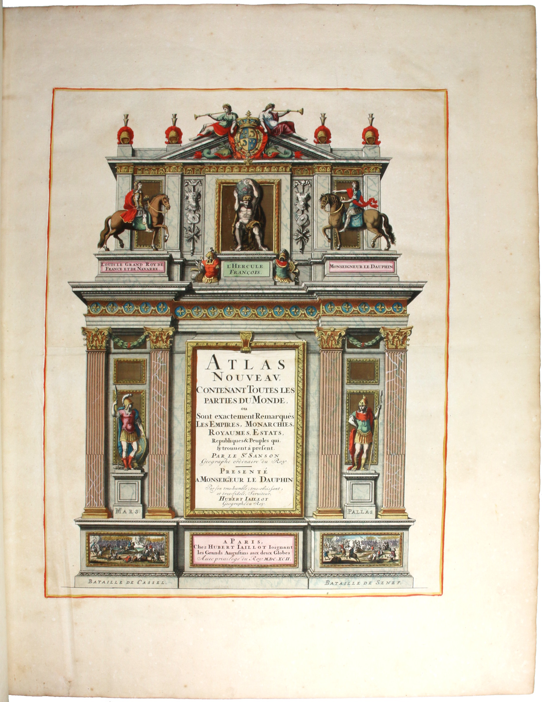
Atlas nouveau.
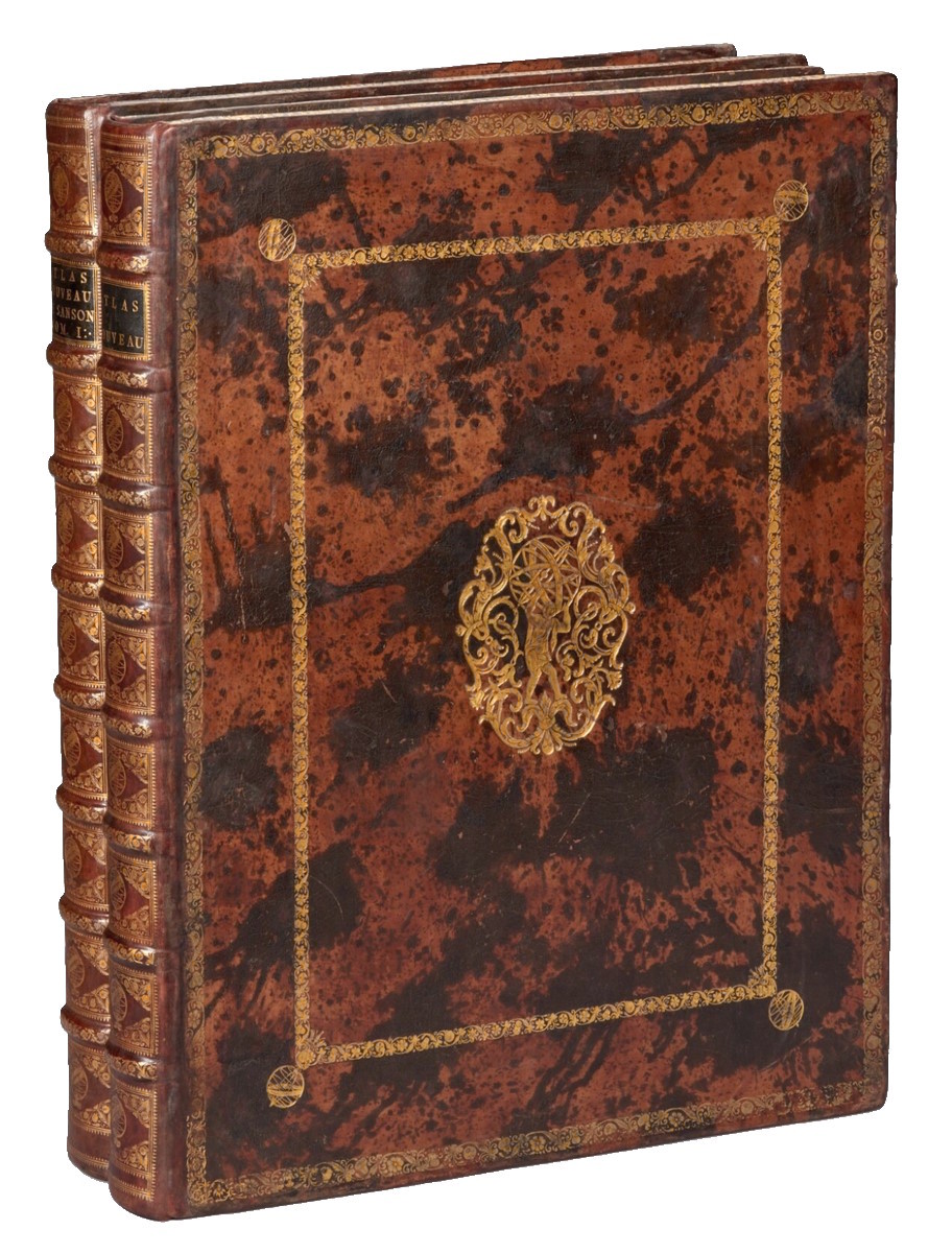
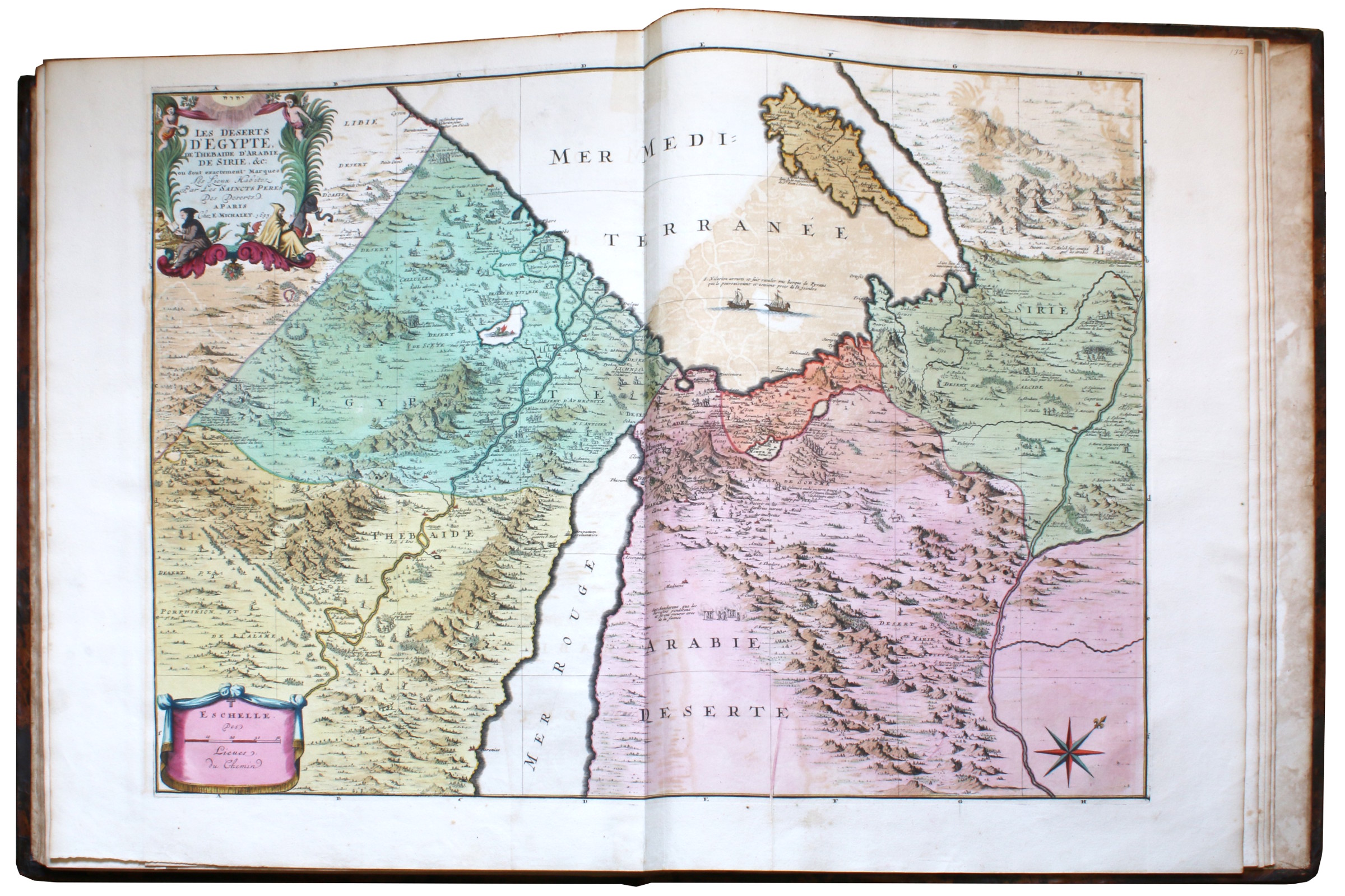
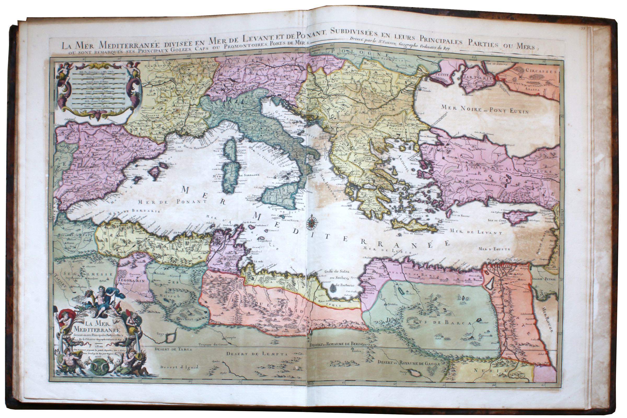
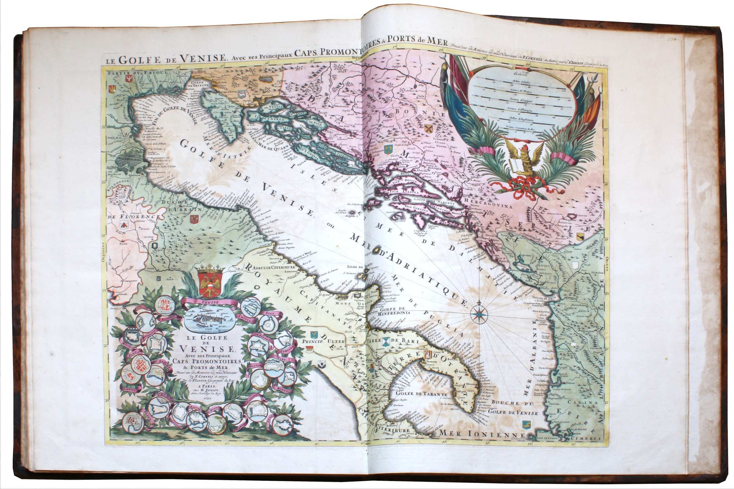
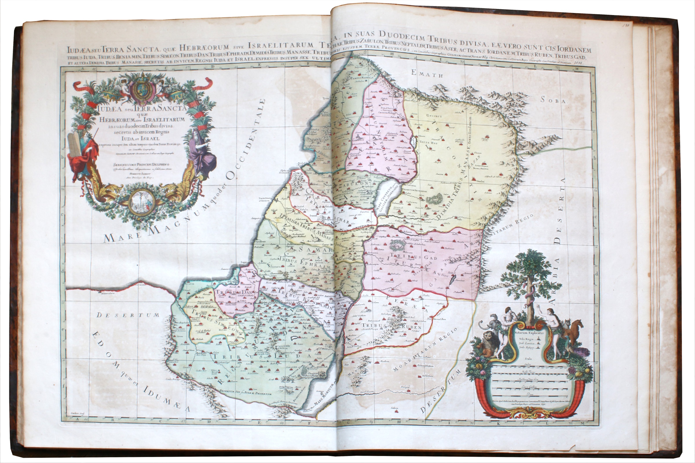
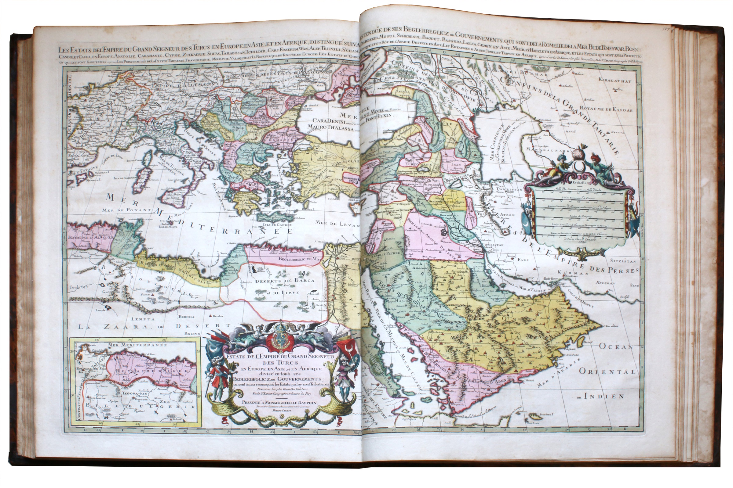
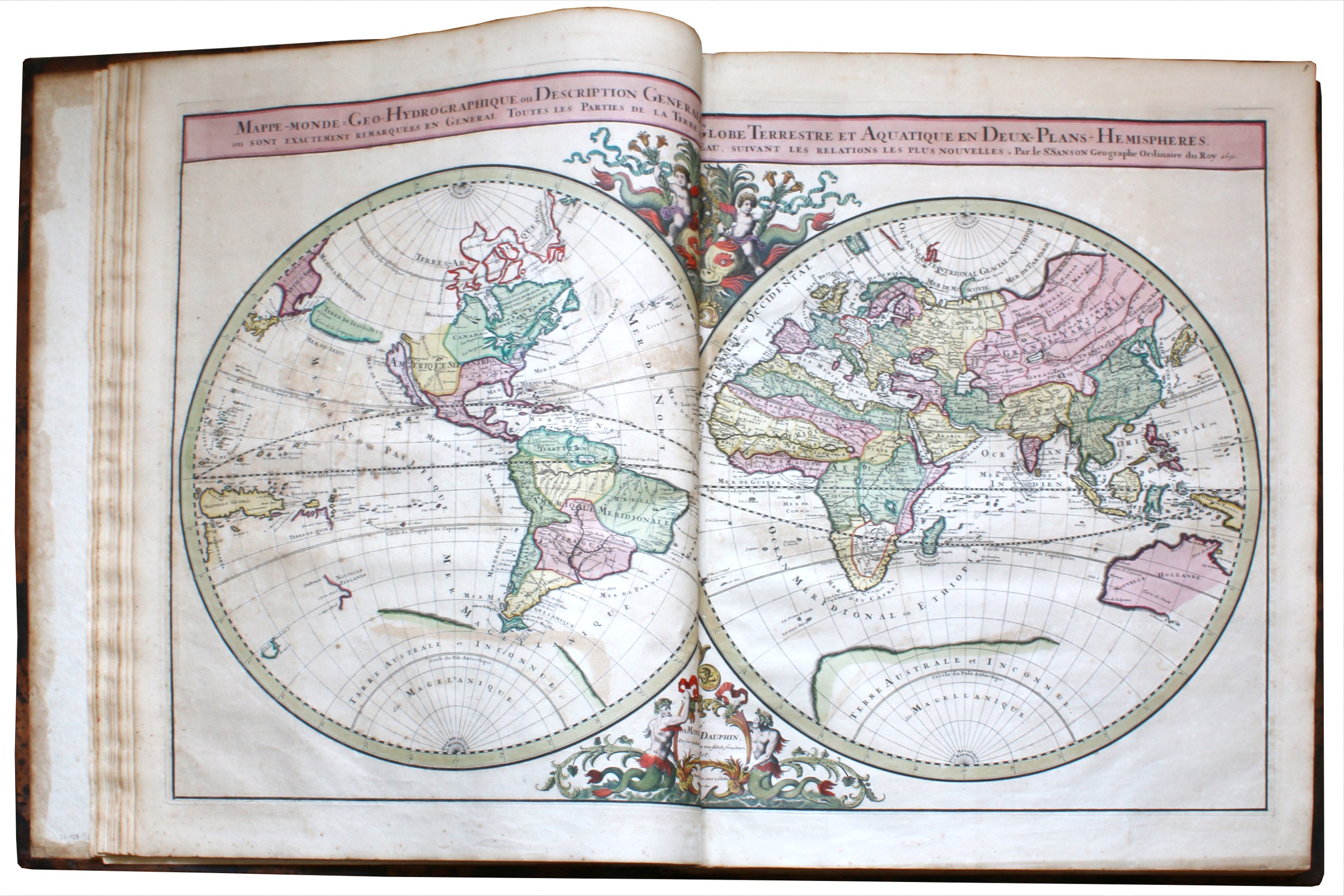
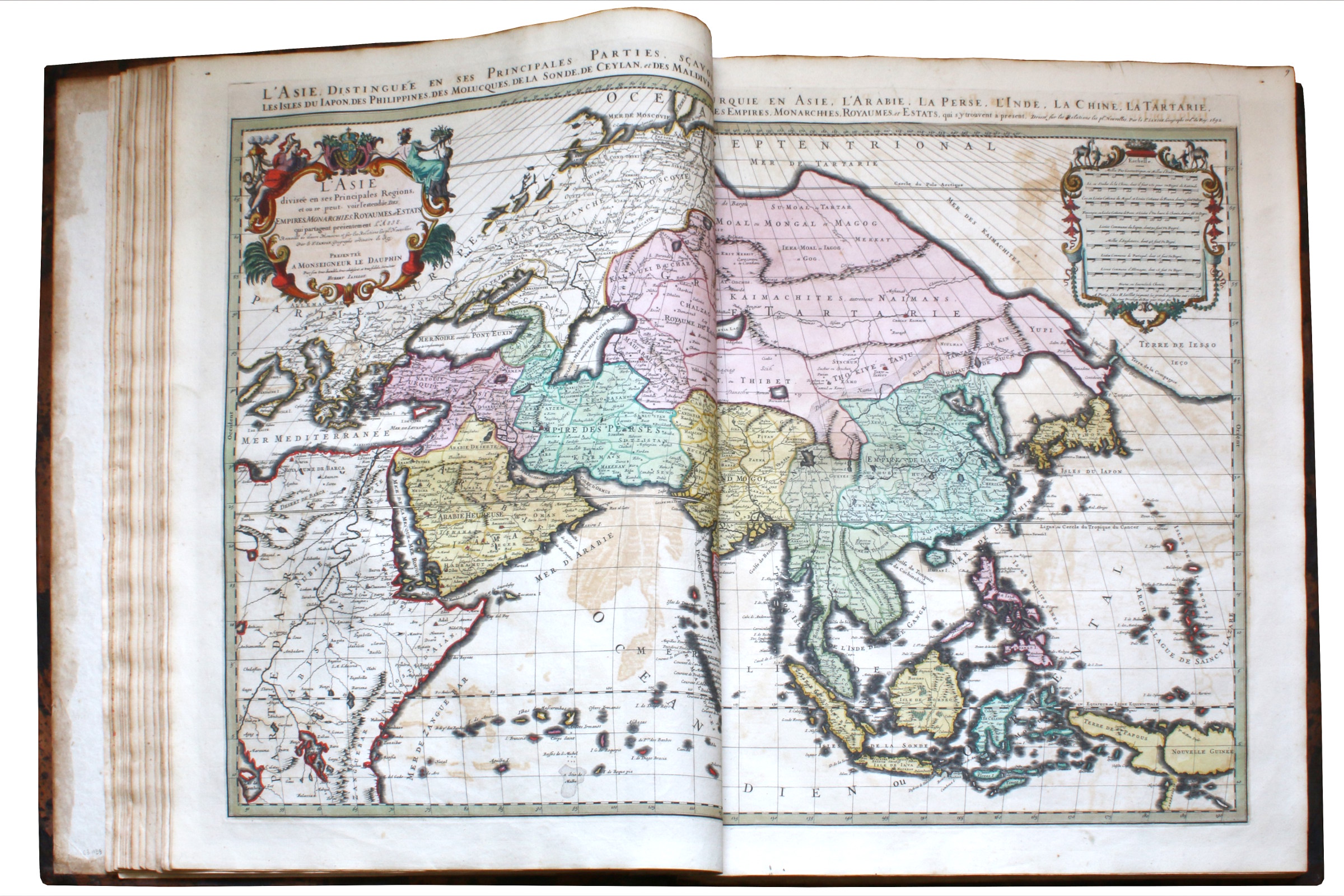
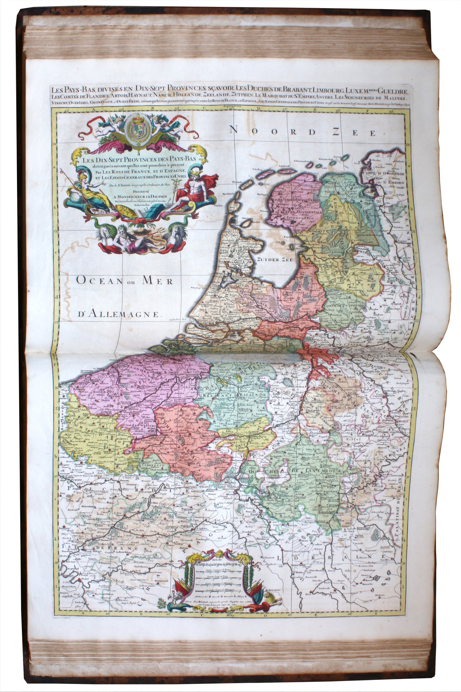
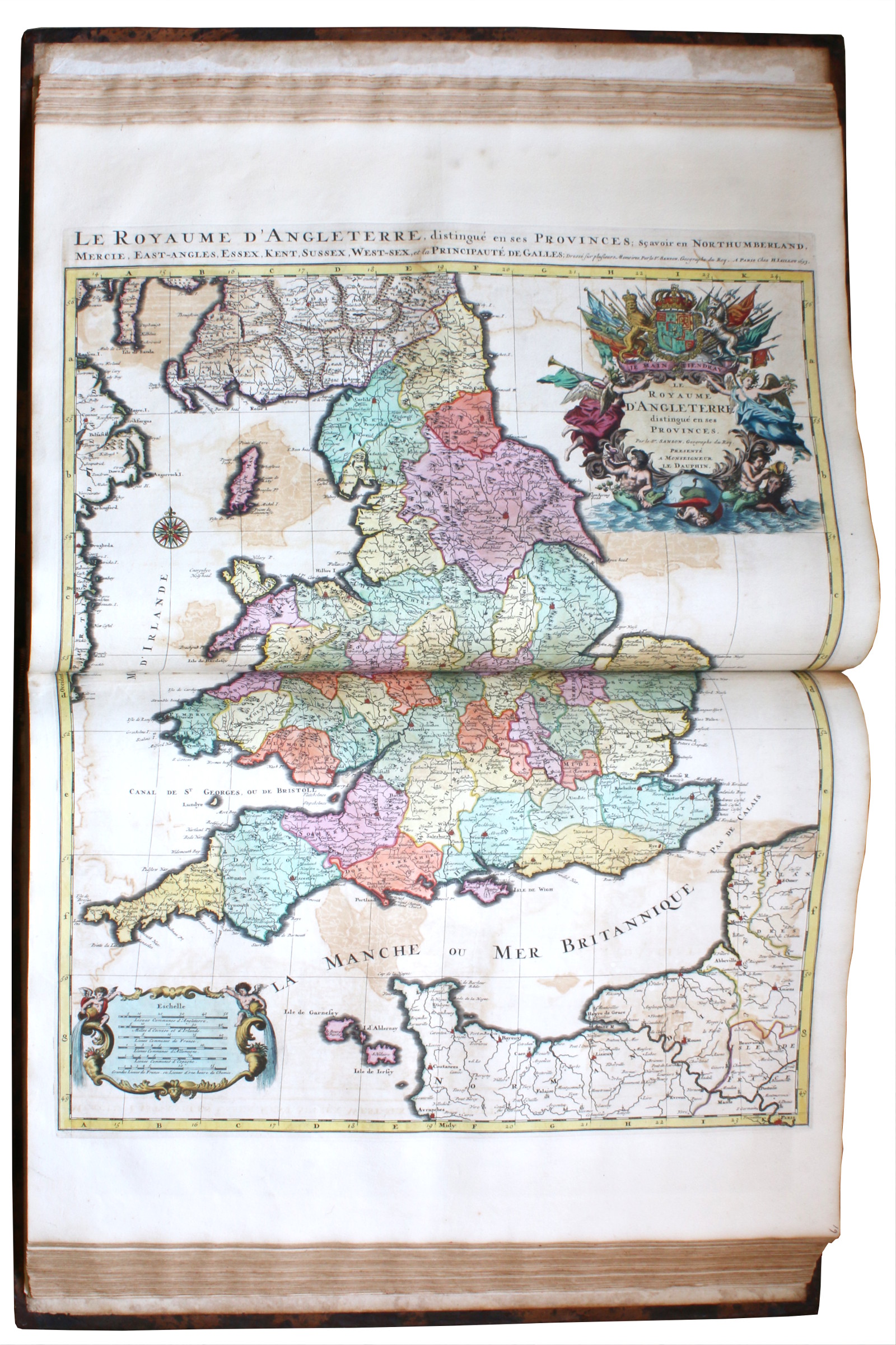
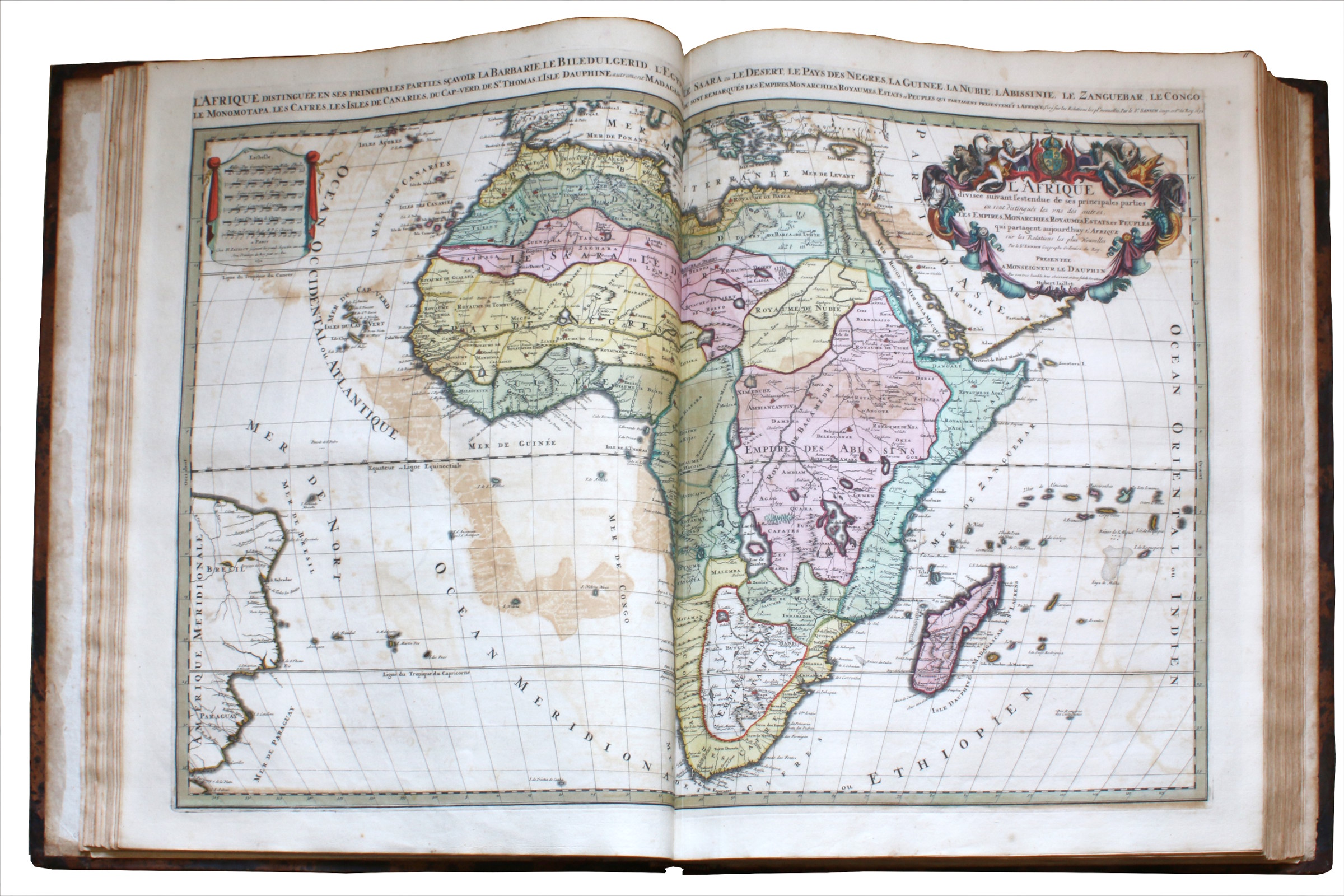
Royal folio. 2 vols. Engraved titles, 111 double-page hand-coloured engraved maps, 3 full-page fortification plans, 19 tables, 84 gazetteers, 28 full-page mapsheets showing 196 views and plans. Contemporary Dutch mottled calf, gilt, by the Double Drawer Handle Bindery.
€ 280,000.00
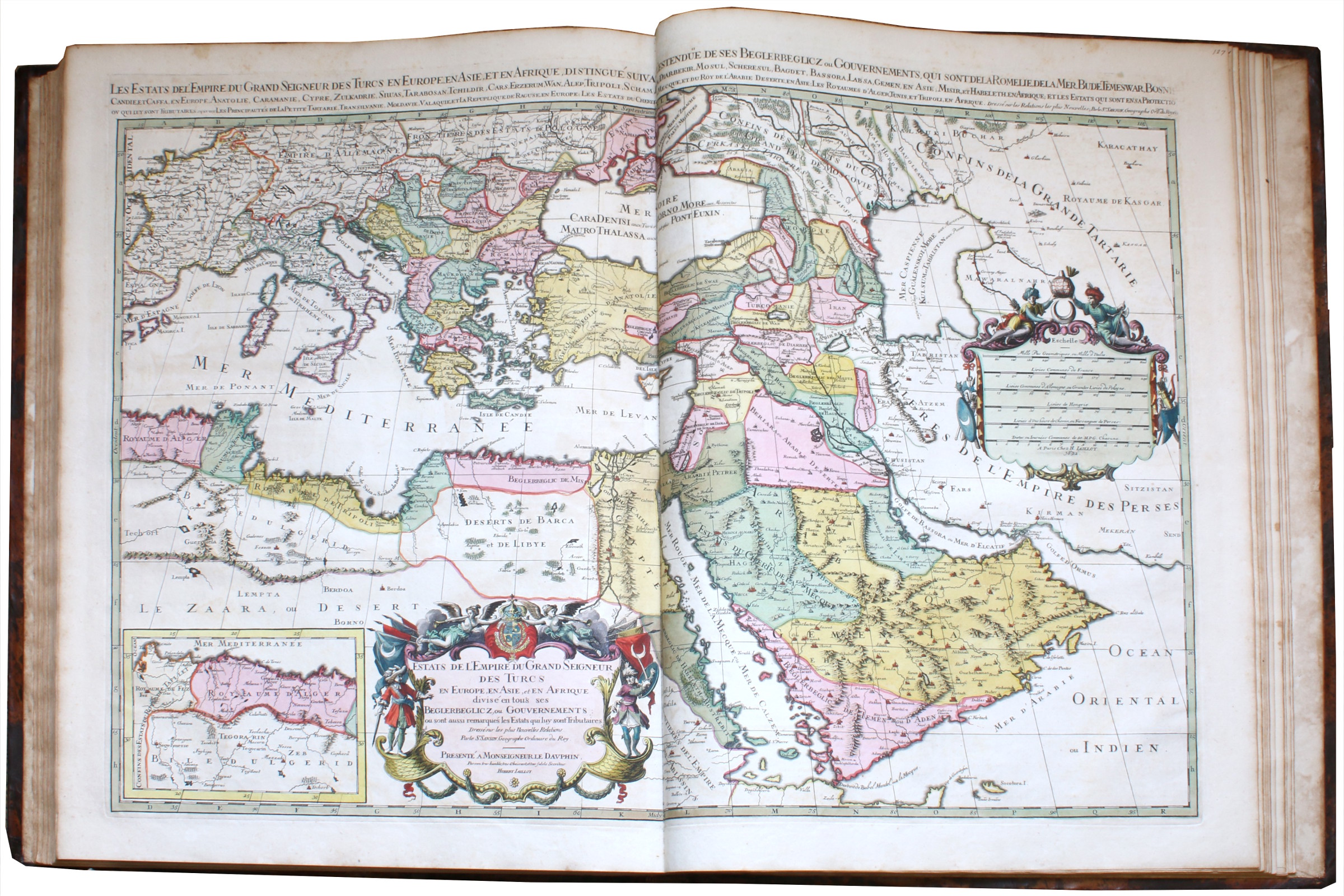
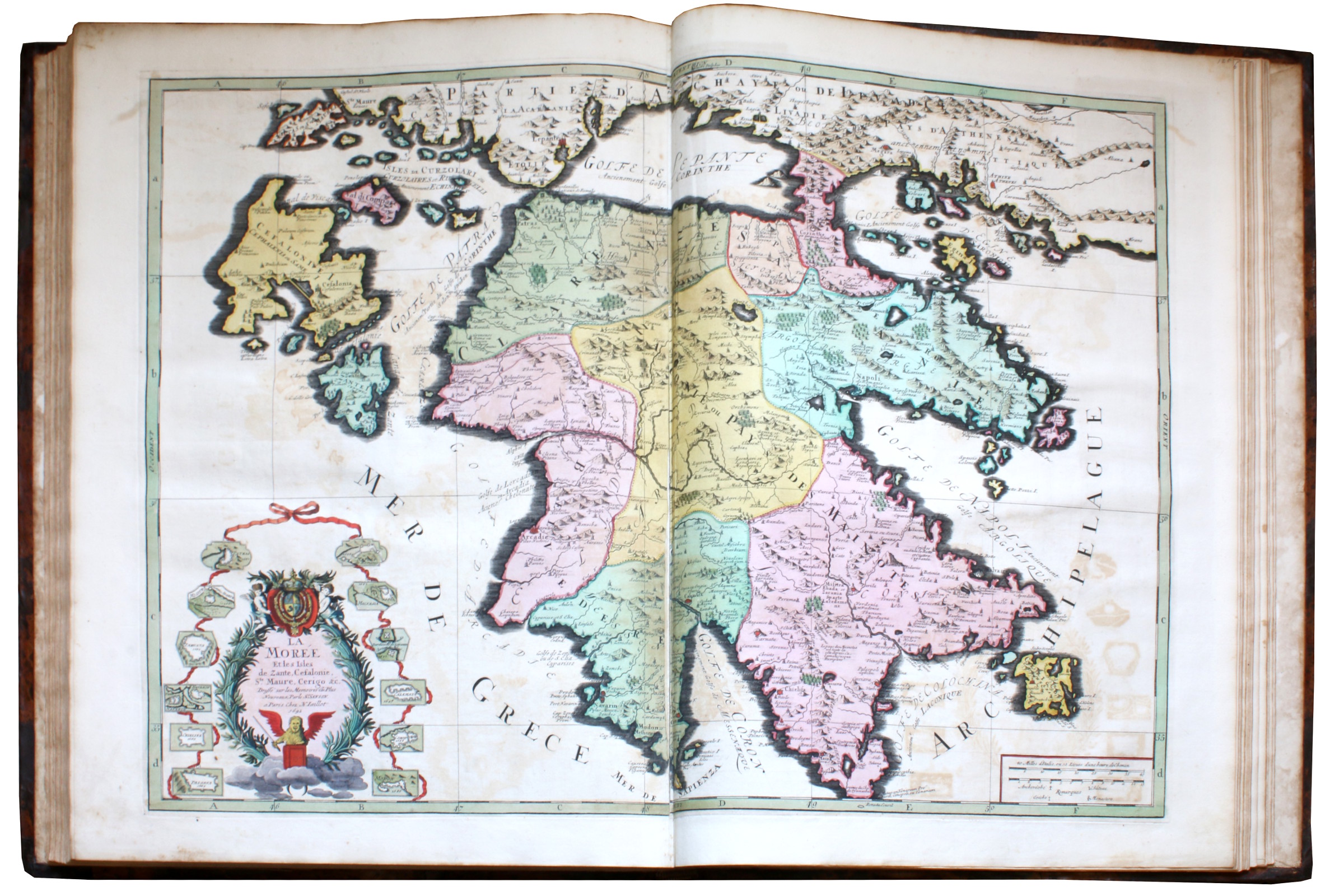
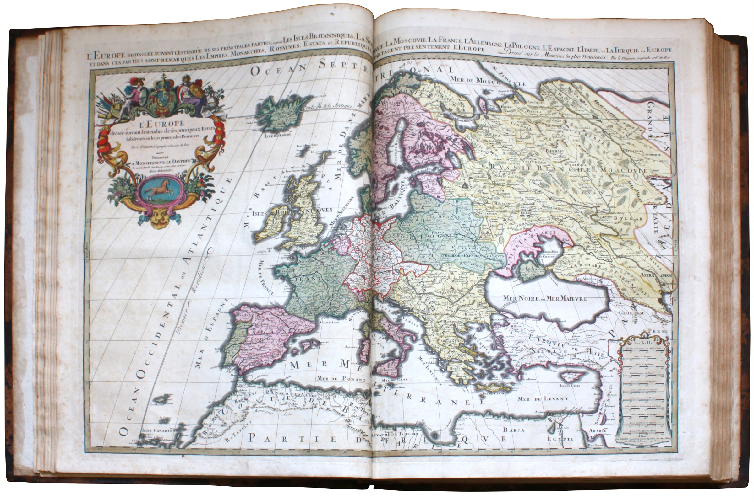
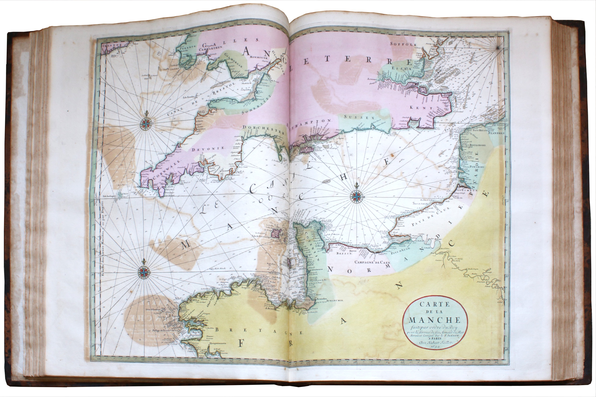
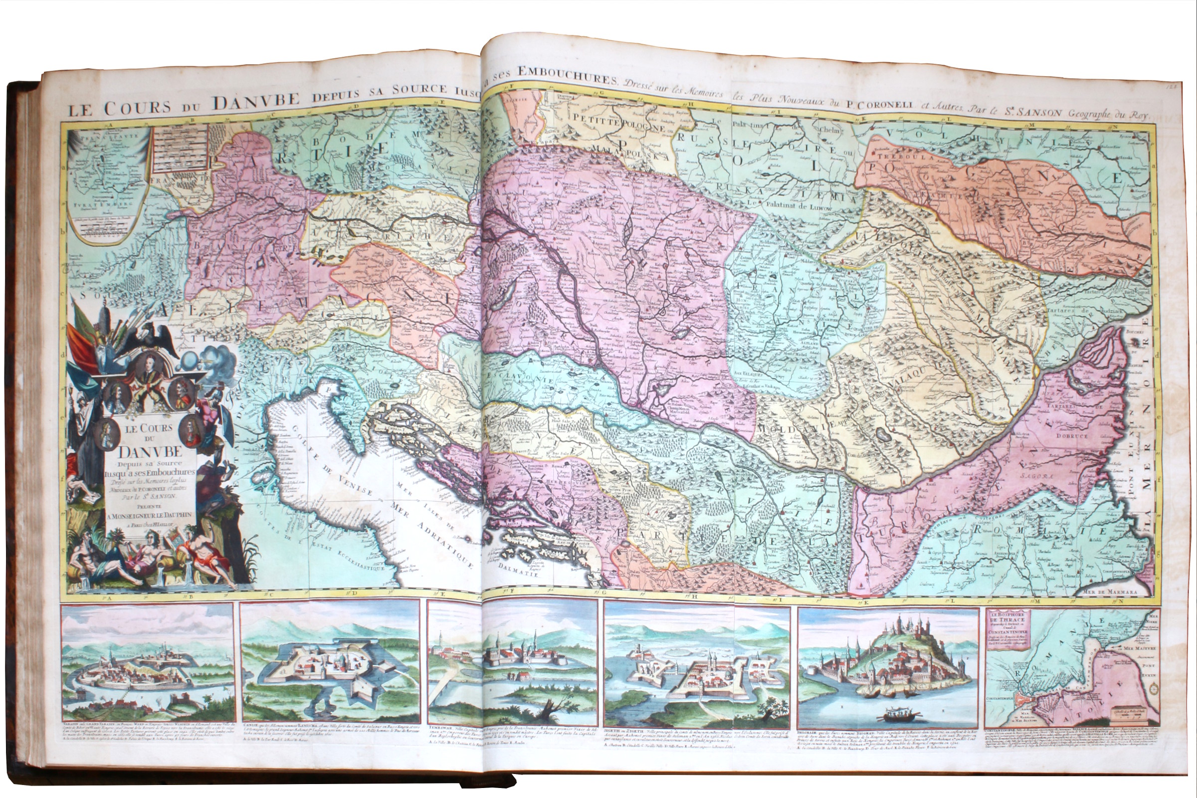
A magnificent example of one of the largest and most beautiful world atlases of the 17th century, obviously produced as a presentation copy: the Wardington copy, in particularly fine hand colour. In many cases, the meticulously impressed hand-coloured maps appear to have their titles in proof state or even in manuscript, indicating that this was one of the earliest copies of this work produced by Mortier, perhaps even "Mortier’s first or proof copy" (Wardington Catalogue). There are often faint lines visible which have been used to justify the letters, suggesting the type was just being set, or the cartouche lettering was being drawn up by a calligrapher.
In 1690, the Amsterdam publisher Pieter Mortier obtained from French publishers the privilege to distribute their maps and atlases in Holland. He began re-engraving maps by the French Royal Geographer Alexis Hubert Jaillot (ca. 1632-1712), the partner and successor of the "Father of French cartography", Nicolas Sanson (1600-67). Beginning in 1669, Jaillot re-engraved and re-published Sanson's maps, issuing them individually and in atlases. As the world atlas passed down from Sanson to Jaillot to Mortier, it became more striking and more renowned, partly because of its augmented size, its more creative embellishments, and its higher quality paper.
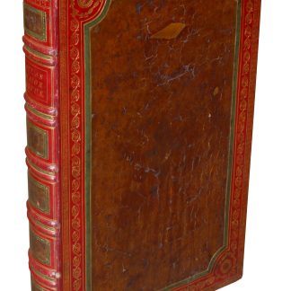
The contemporary binding here is by the Double Drawer Handle Bindery, a workshop Mortier commissioned to produce bindings for some of his most important works, including his Great Bible. Jan Storm van Leeuwen suggests that Mortier may have had the "Atlas holding up the world" block tool "made especially for this project"; he records at least two other copies of the work in marbled calf bindings with this design. Given the early state of the engravings, manuscript lettering on some cartouches, lovely hand colouring, and special binding, it is possible that this copy was a prototype or exemplar used by the publisher.
1) James Gibbs (1682-1754), British architect, with his engraved bookplate, dated 1736.
2) 19th century ink ownership of "P. Jackson" to front free endpapers.
3) Christopher Henry Beaumont Pease, 2nd Baron Wardington (1924-2005), with his bookplate, sold at Sotheby's, 18 October 2005, lot 203.
4) Latterly in the Jay Walker Library of Human Imagination (Ridgefield, Connecticut).
Royal folio (530 x 660 mm). 2 volumes. Engraved architectural titles, contents leaf in each volume within elaborate borders (printed table pasted in centre), 111 double-page hand-coloured engraved maps (including plans of Paris and Vienna), dated between 1691 and 1696, 3 full-page fortification plans, 19 tables, 84 gazetteers (dated 1692), 28 full-page mapsheets showing 196 views and plans, title to Sanson's "Introduction à la Géographie" printed in red and black. Bound in contemporary Dutch mottled calf, gilt, by the double drawer handle bindery, covers with two floral roll frames (Storm van Leeuwen III, 704), oblique armillary spheres at corners, large centrepiece of Atlas holding up the world within a leafy frame (Storm van Leeuwen III, 662), raised bands, spines gilt in compartments with armillary sphere (Storm van Leeuwen III, 810) at centre.
Some offsetting, binding with neat repairs.
Koeman III, Mor 1. Pastoureau 1E and 1F. For the binding: Storm van Leeuwen, “Dutch Decorated Bookbinding” I, 245.

![[Atlas of the world].](https://inlibris.com/wp-content/uploads/2023/08/img-bn62095-324x324.jpg)