
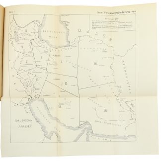
A map of Pahlavi Iran
Kishvar-i Shahanshahi-yi Iran [The Imperial country of Iran].
Original colour-printed folding map. 730 x 790 mm on 756 x 820 mm (sheet). Scale 1:2,500,000. Elevation shown by hypsometric tints.
€ 600.00
Rare topographical map of Iran during the Pahlavi era, in Farsi language. Indicates major cities including Tehran, Isfahan, Shiraz, Kermanshah, and Mashhdad. Among the other most notable features appear the Zagros and Alborz mountains, the Khuzestan Plain, and lakes Namak and Urmia, along with roads, railroads, bridge tunnels, rivers, and marshes. The map further includes parts of Iraq, Turkey, the Caucasus, the Soviet Union, Afghanistan and Pakistan, Kuwait, Bahrain, Qatar, and the Emirates with Dubai and Sharjah labelled.
Several tears, some repaired with archival tape.
OCLC 34067348.
Related
-

Carte de l’Empire Ottoman comprenant les possessions de la Porte en Europe, …Paris, 1825.
€ 3,000.00 -

Reize naar Arabië en andere omliggende landen.Amsterdam & Utrecht, 1776-1780.
€ 6,000.00 -
Entwurf! Militärgeographische Angaben über Iran: Ortschaftsverzeichnis; …Berlin, 1943.
€ 6,500.00 -

Iran (Persia) and Iraq.London, 1930s.
€ 650.00
