Rare RAF map of Oman
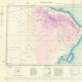
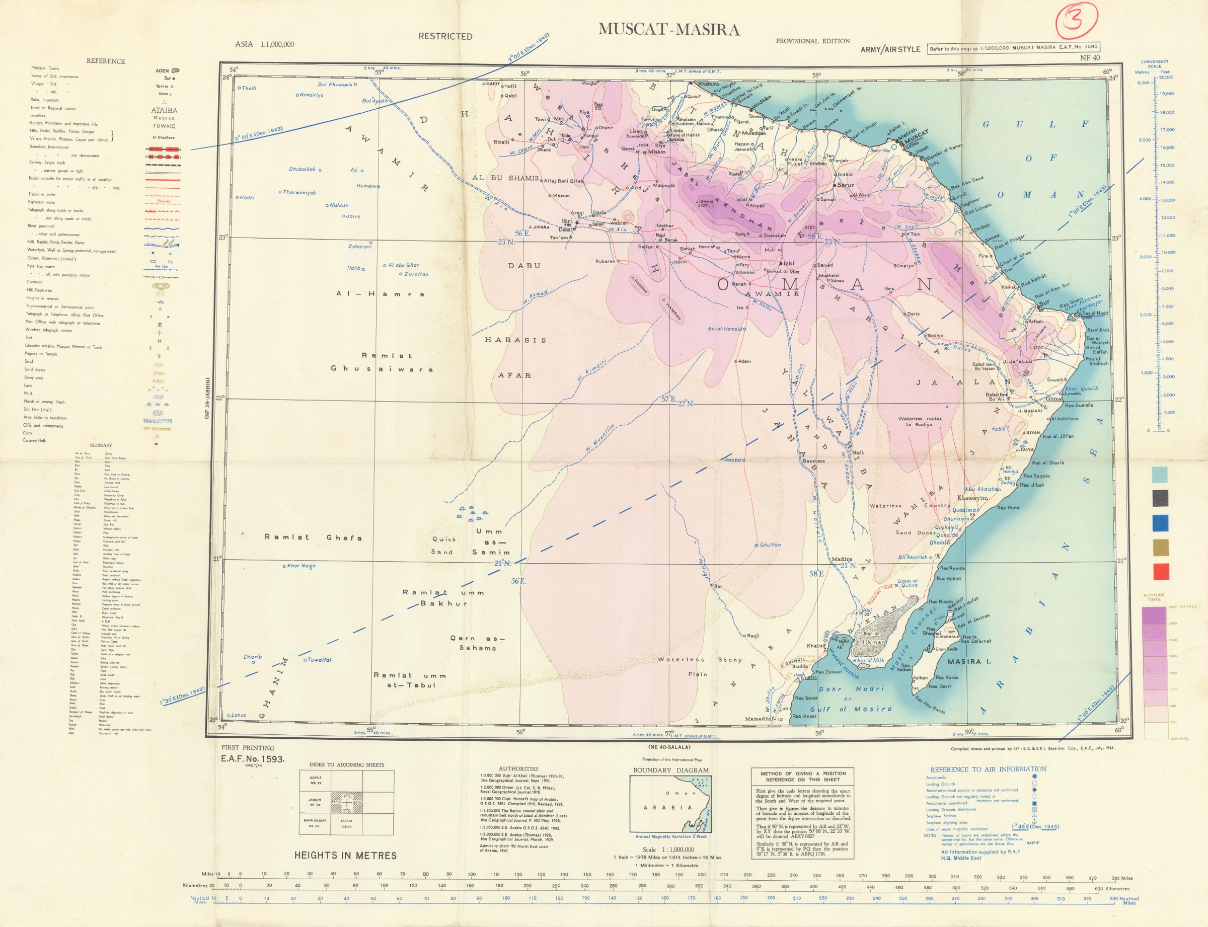
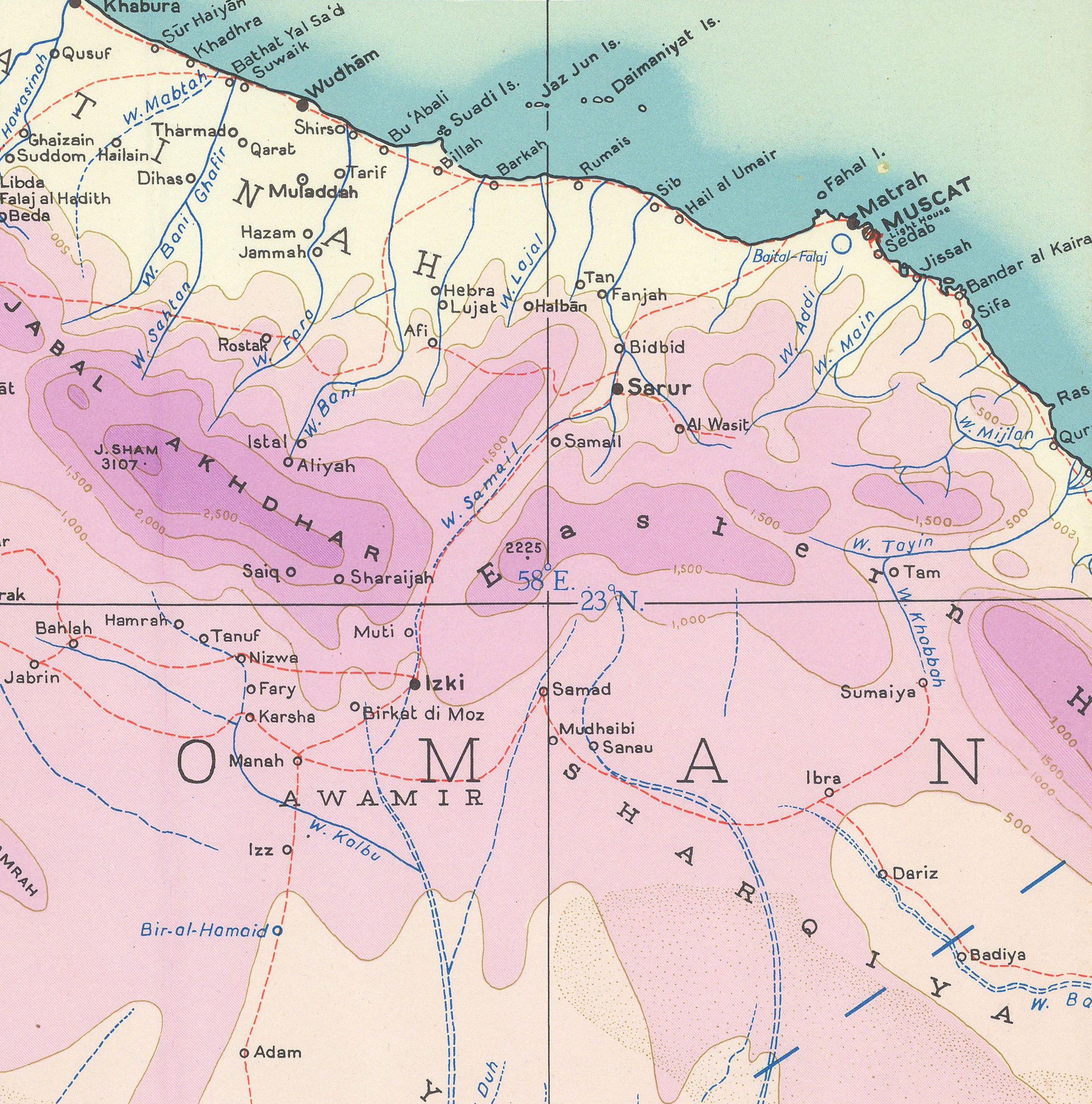
Asia 1:1,000,000. Muscat-Masira. NF-40.
Original colour lithographed map. 463 x 627 mm on 639 x 847 mm (sheet). Scale 1:1,000,000. Folded.
€ 1,000.00
First, provisional edition of this rare RAF map of Oman ("army/air style"), reaching as far north as Khaburah, on the coast, south beyond Masirah Island and westward beyond Lahus and Hadhi. During the Second World War, Great Britain recognised the strategic importance of Oman's geographical location by expanding facilities throughout the country. A new airfield was built on Masirah Island, which, from 1943 onwards, housed No. 33 Staging Post. In 1943, both Masirah and Ras Al-Hadd became Royal Air Force stations in their own right. Both of these airfields are labelled on the present map.
Numbered "3" by hand in thick red pencil. Slight edge wear. Otherwise in fine condition.
OCLC 1181699543.
Related
-
![[Photographs from the R.A.F. Khormaksar base at Aden].](https://inlibris.com/wp-content/uploads/2024/01/img-bn60821-324x324.jpg)
[Photographs from the R.A.F. Khormaksar base at Aden].Yemen, 1961-1963.
€ 9,500.00 -

Red Sea and Arabian Sea. ONC J-6/8. Operational navigation chart.St. Louis, Missouri, 1967 / 1975.
€ 3,000.00 -
US Army Air Forces. Long Range Navigation Chart. Arabia, Restricted.Washington, D.C., 1944.
€ 2,500.00 -

Saudi Arabia. Series K663. Edition 1-NIMA, Ra's al Khafji; Edition 1-DMA, …U.S. Government, 1994 and 1997.
€ 2,500.00