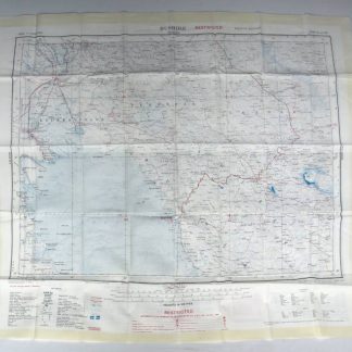
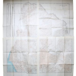
Bushire (N.H-39, fourth edition). Tehran (N.I-39, third edition).
[London], Geographical Section, General Staff, 1951.
Silk-printed colour map, 1:1,000,000. 68 x 62 cm.
€ 850.00
Classed as "Restricted", this Ordnance Survey map, printed on fabric to sustain extreme conditions of weather and handling, shows the northern end of the Gulf from the Saudi Arabian border and Kuwait, the Shatt Al Arab with Khorramshahr, and the Iranian coastline to Bushire and beyond. The reverse shows the area north of this, including Isfahan and Tehran.
Very rare; in clean and apparently unused condition. Folded.
References
OCLC 249320989.
Related
-
Northern Arabia according to the original investigations of Alois Musil …New York, 1926.
€ 3,500.00 -
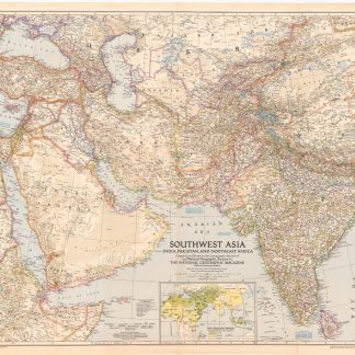
Southwest Asia, India, Pakistan, and Northeast Africa.Washington, DC, 1952.
€ 850.00 -
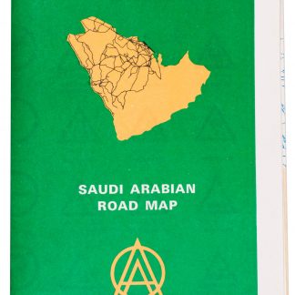
Saudi Arabian road map.Dammam, 1975.
€ 1,350.00 -
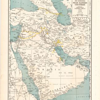
Arabia and near bordering countries. Includes: Palestine, Iran (Persia) …Chicago, ca. 1936-1941.
€ 1,500.00