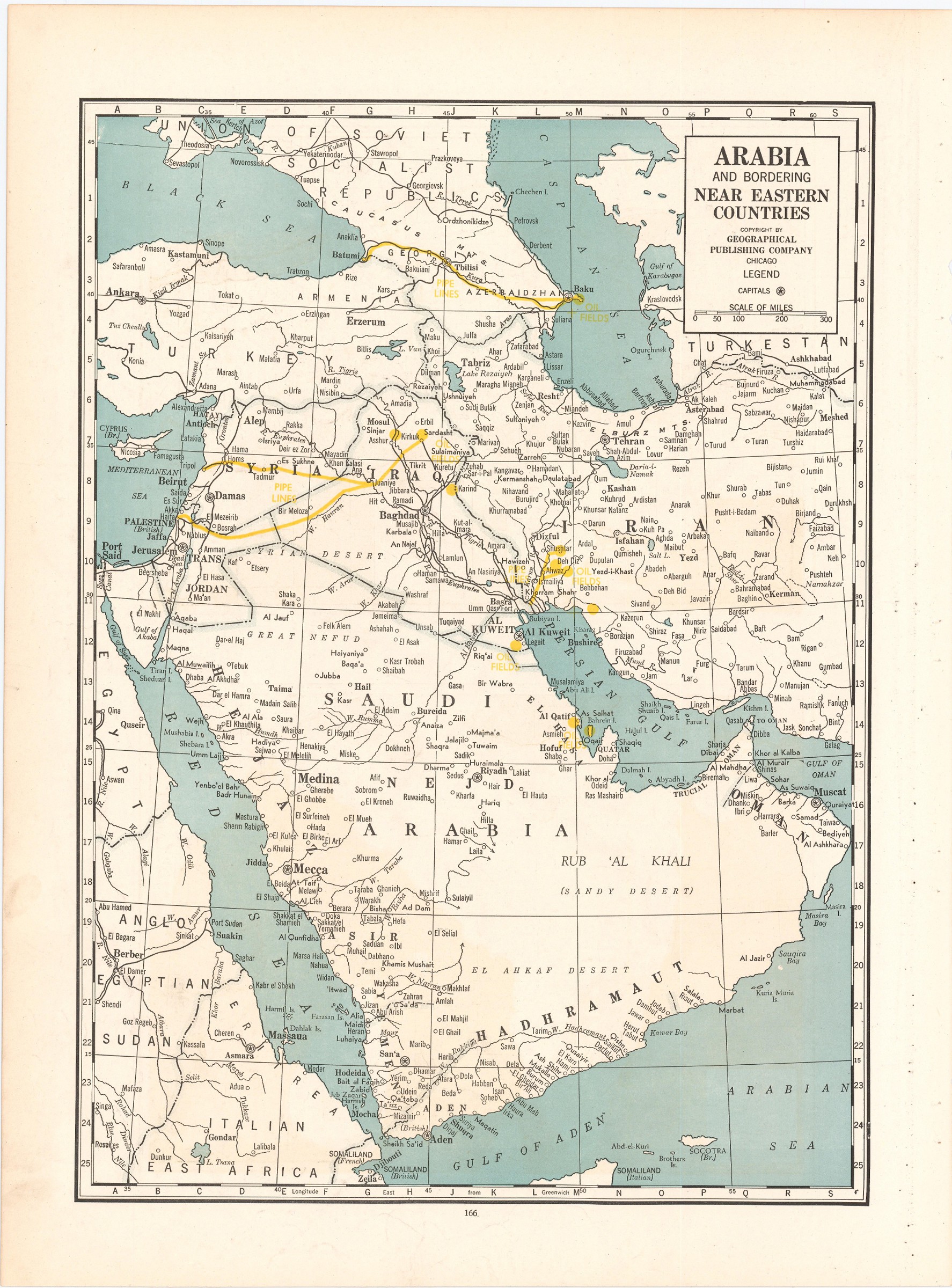
The Arabian oil fields and pipelines in the late 1930s
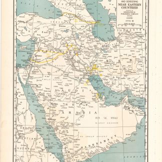
Arabia and near bordering countries. Includes: Palestine, Iran (Persia) and surrounding territories.
Chicago, Geographical publishing company, ca. 1936-1941.
Colour printed map, 540 x 400 mm.
€ 1,500.00
Map of the Arabian Peninsula and parts of the USSR, Turkey, Iran and the British, French and Italian colonies in Africa, possibly coming form an edition of the "Commercial atlas of the world". Printed in yellow are oil fields and pipelines, including the legendary Kirkuk-Haifa/Tripoli oil pipeline. Detailed maps of Iran and of British controlled Palestine are printed on the other side.
With a few small holes near the inner margin.
Related
-
![Hodaeporicon Indiae Orientalis; Das ist: Warhafftige Beschreibung der ansehnlich lobwürdigen Reyß, welche der edel, gestreng und weiterfahrne Ritter, H. Ludwig di Barthema von Bononien aus Italia bürtig, in die Orientalische und Morgenländer, Syrien, beide Arabien, Persien und Indien, auch in Egypten und Ethyopien, zu Land und Wasser persönlich verrichtet [...].](https://inlibris.com/wp-content/uploads/2020/05/img-bn45427-324x324.jpg)
Hodaeporicon Indiae Orientalis; Das ist: Warhafftige Beschreibung der ansehnlich …Leipzig, 1608.
€ 28,000.00 -
Etats du Grand-Seigneur en Asie, Empire de Perse, Pays des Usbecs, Arabie …Paris, 1753.
€ 1,950.00 -

Carte de l’Empire Ottoman comprenant les possessions de la Porte en Europe, …Paris, 1825.
€ 3,000.00 -

Iran (Persia) and Iraq.London, 1930s.
€ 650.00