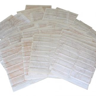
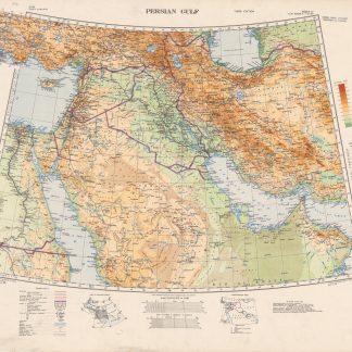
Persian Gulf. Sheet 32.
London, Field Survey Company, 1941.
990 x 760 mm. Scale 1 : 4000000.
€ 1,500.00
Third edition. Topographical map of the Arabian Gulf and surrounding area showing international boundaries, main cities and towns, roads, railways, islands, rivers, lakes, wetlands and other vegetation and terrain features. Extends from the Caspian Sea south to Mecca and from Cairo east to Meshed. Relief shown by contours, altitude tints and spot heights. Includes legend, index to adjoining sheets, administrative index, and bibliographical references.
Slightly creased.


