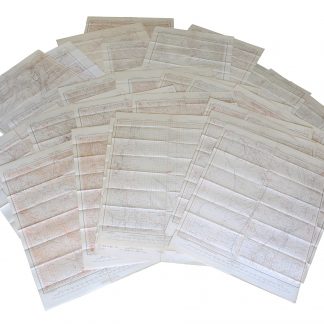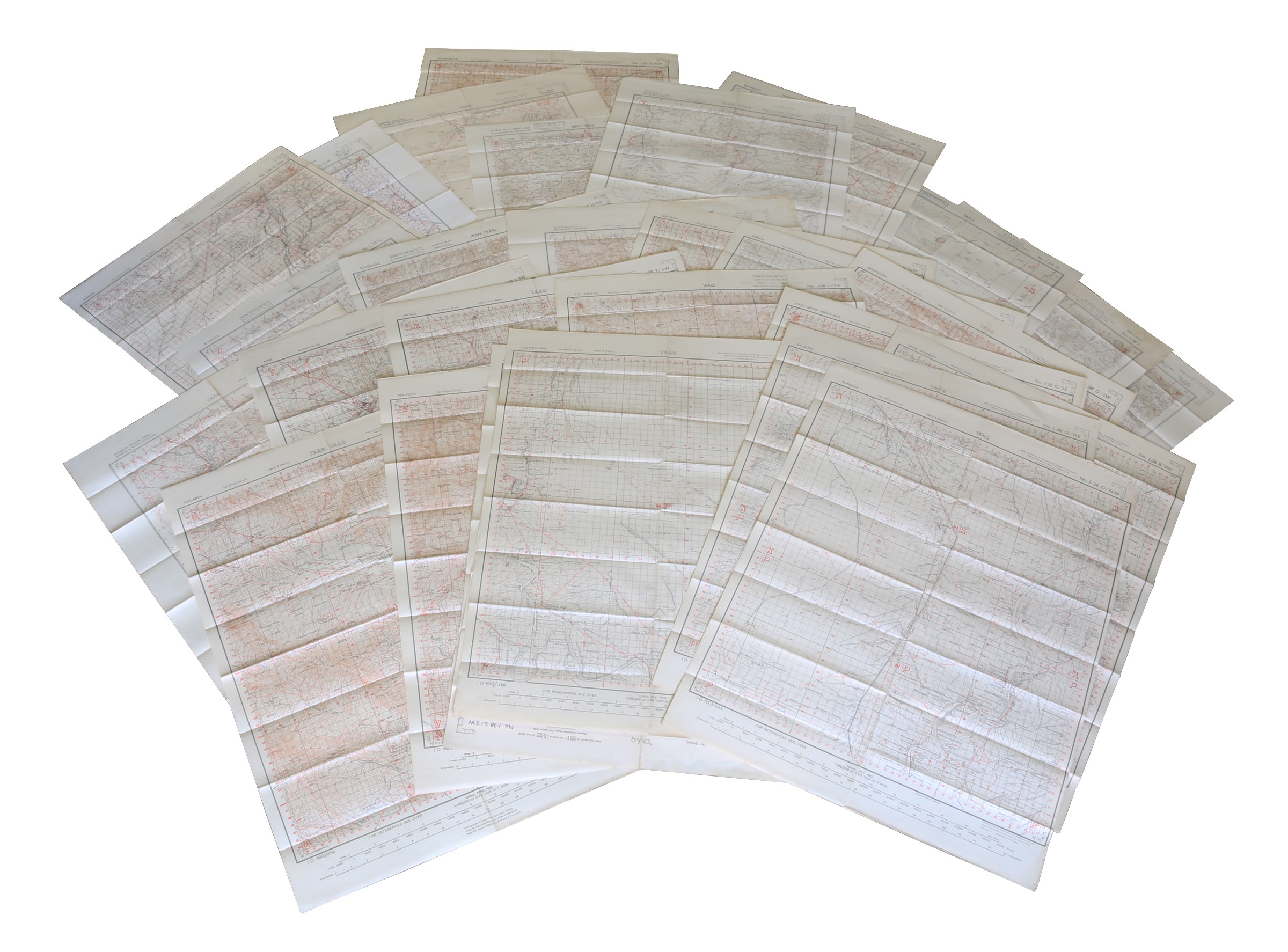
42 lithographic WWII maps.
[UK Government], Survey Directorate HQ Tenth Army / Indian Field Survey Co., 1942.
42 topographic maps, colour-printed. Scale 1:100,000 and 1:253,440 (a quarter-inch to a mile). 680 x 505 mm and 600 x 470 mm.
€ 6,500.00
An impressive collection of Iraq maps compiled from the most current aerial photography and produced by the British Army for use in the Persian war theatre. Includes 'Ain Sifni, Aqra, Tel Afar, Salman Pak, Ba'Quba, Sumaika, Penjwin, Halabja, Baghdad, Kirkuk, Dulaim, Erbil and Mosul divisions.
Previously folded. Generally well-preserved.