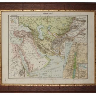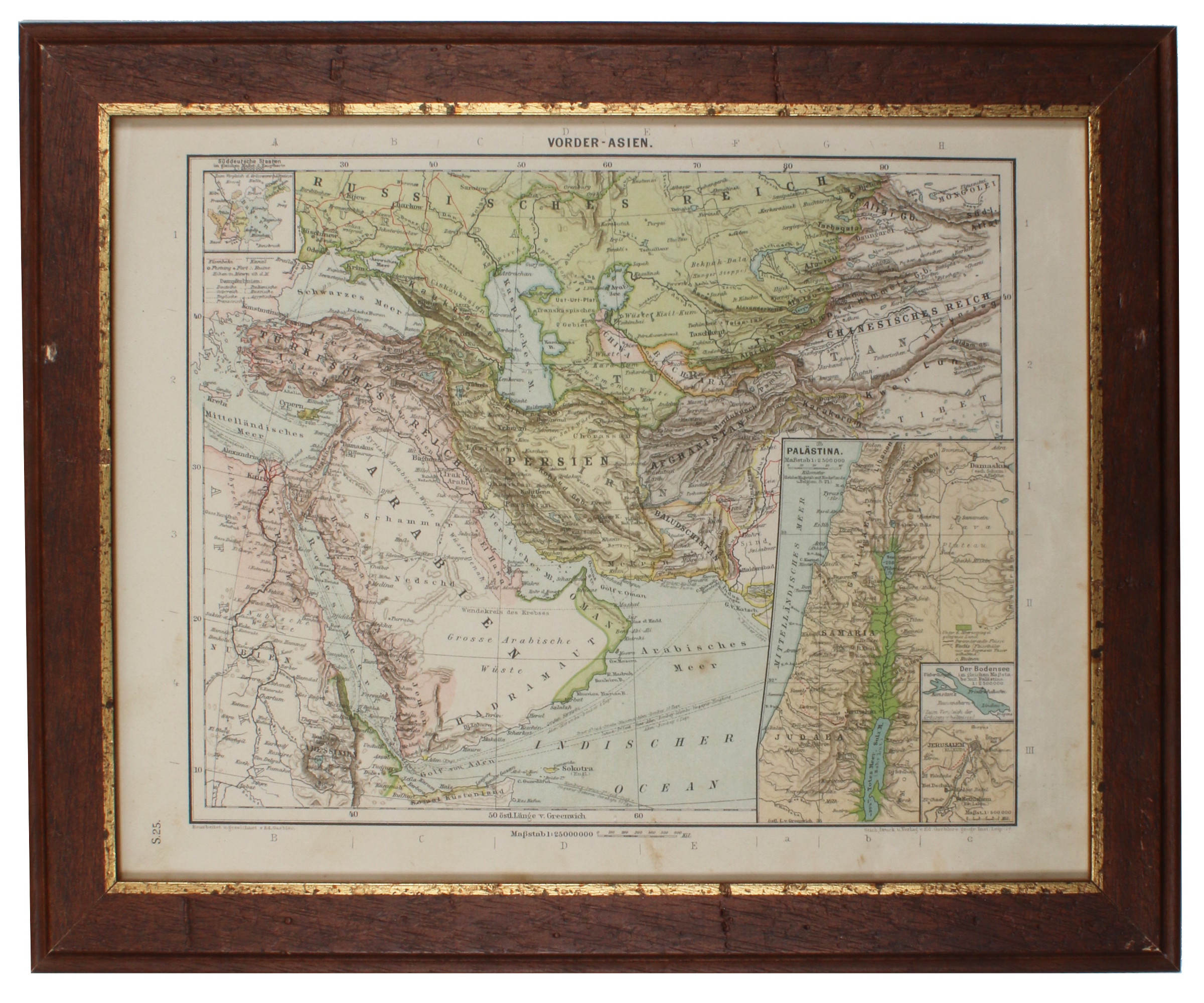
Vorder-Asien.
254 x 201 mm. Lithographed map. Scale 1:25,000,000. Gilt wooden frame (290 x 357 mm).
€ 85.00
Political map of the Middle East prior to WWI, detailing the Arabian Peninsula, the Gulf, Iran, and the Ottoman Empire, as well as parts of Africa, Russia and China. Among the labelled cities on the Gulf are Sharjah, Al-Wakrah and Manamah. With 4 inset maps showing Palestine (1:2,500,000) and Jerusalem with its surroundings (1:500,000) as well as the southern German states and Lake Constance for scale.
Early edition of Eduard Gaebler's map of western Asia, published published in "Neuester Hand-Atlas über alle Teile der Erde" (Leipzig, Gaebler's Geographisches Institut, 1892). The map saw numerous reissues; a revised edition appeared in Gaebler's "Kleiner Handatlas" as late as 1933.
Slight foxing. Frame shows some traces of worming; tiny piece of wood chipped near left margin. An appealing map in an attractive wooden frame with a gilt border.
Related
-
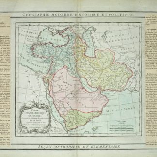
Perse, Turquie Asiatique et Arabie.Paris, 1799.
€ 450.00 -
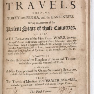
Collections of travels through Turky into Persia, and the East-Indies. …London, 1684.
€ 8,500.00 -

Carte de l’Empire Ottoman comprenant les possessions de la Porte en Europe, …Paris, 1825.
€ 3,000.00 -
A New Account of the East Indies. Giving an exact and copious description …London, 1744.
€ 9,500.00