
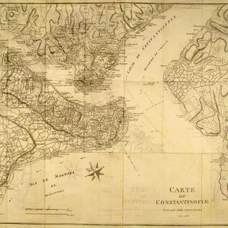
Homs N.-O. Amplification de la Carte de l'État-Major Ottoman au 200.000e.
Paris, Service géographique de l'armée, 1924.
Colour-printed map. Ca. 52 x 66 cm. Constant ratio linear horizontal scale 1:100,000. Relief shown by form lines.
€ 300.00
French military map of the portion of Syria east of Homs to Talkalakh, based on mapping received by May 1924.
Pencil shelfmarks of the Geographical Institute of the University of Berlin. Two holes punched in lower margin. Well preserved.
Related
-

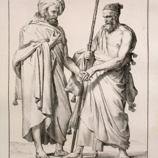
Reisen oder Anmerkungen verschiedene Theile der Barbarey und der Levante …Leipzig, 1765.
€ 2,000.00 -
Voyage dans le Levant en 1817 et 1818.Paris, 1819.
€ 35,000.00 -
Voyage de la Propontide et du Pont-Euxin.Paris, 1800-1802.
€ 3,500.00 -
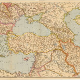
Der Nahe Osten. Tornisterschrift des NS.-Führungsstabes der Wehrmacht. …Berlin, 1944.
€ 350.00
