Arabian Sea. No. 1012.
Standard issue, 710 x 1,236 mm. Scale 1:2,730,000.
€ 500.00
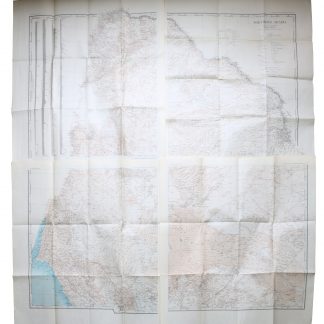
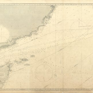
Nautical chart of the Gulf of Aden and the Arabian Sea including the west coast of India, prepared by the British Admiralty. The chart details the strait of Bab-el-Mandeb, the Gulf of Aden, Socotra Island and the open sea as well as the Somali coast and the Horn of Africa. Among the major labeled cities are Mokka, Aden, Masira, and Ras al Hadd in Arabia, as well as Bombay and Surat in India. The chart shows the boundary between the British and Italian spheres of interest in Africa and warns the mariner of approaching the eastern point of Socotra during the south-west monsoon.
The British Admiralty has produced nautical charts since 1795 under the auspices of the United Kingdom Hydrographic Office (HO). Its main task was to provide the Royal Navy with navigational products and service, but since 1821 it has also sold charts to the public. The present chart was composed after surveys by the East India Government between 1828 and 1863, as well as Indian navy surveys between 1836 and 1849; it was first published in 1899 and saw several corrections up to 1935.
With two folds; a few manuscript notes. With a stamp "Increase 50%" near lower right corner. Captioned in print and in a former collector's hand on verso. Larger and smaller tear in lower margin along the folds; small hole near lower margin; small dampstain near lower right corner.